- Mount Napier
-
Mount Napier 
Mount Napier
Höhe 440 m Lage Victoria, Australien Geographische Lage 37° 53′ 38″ S, 142° 3′ 32″ O-37.894142.059440Koordinaten: 37° 53′ 38″ S, 142° 3′ 32″ O 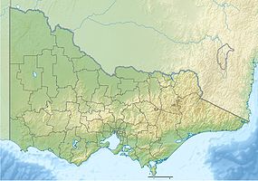

Gestein Lava, Vulkan Mount Napier in Victoria ist einer der jüngsten Vulkane Australiens.
Inhaltsverzeichnis
Beschreibung
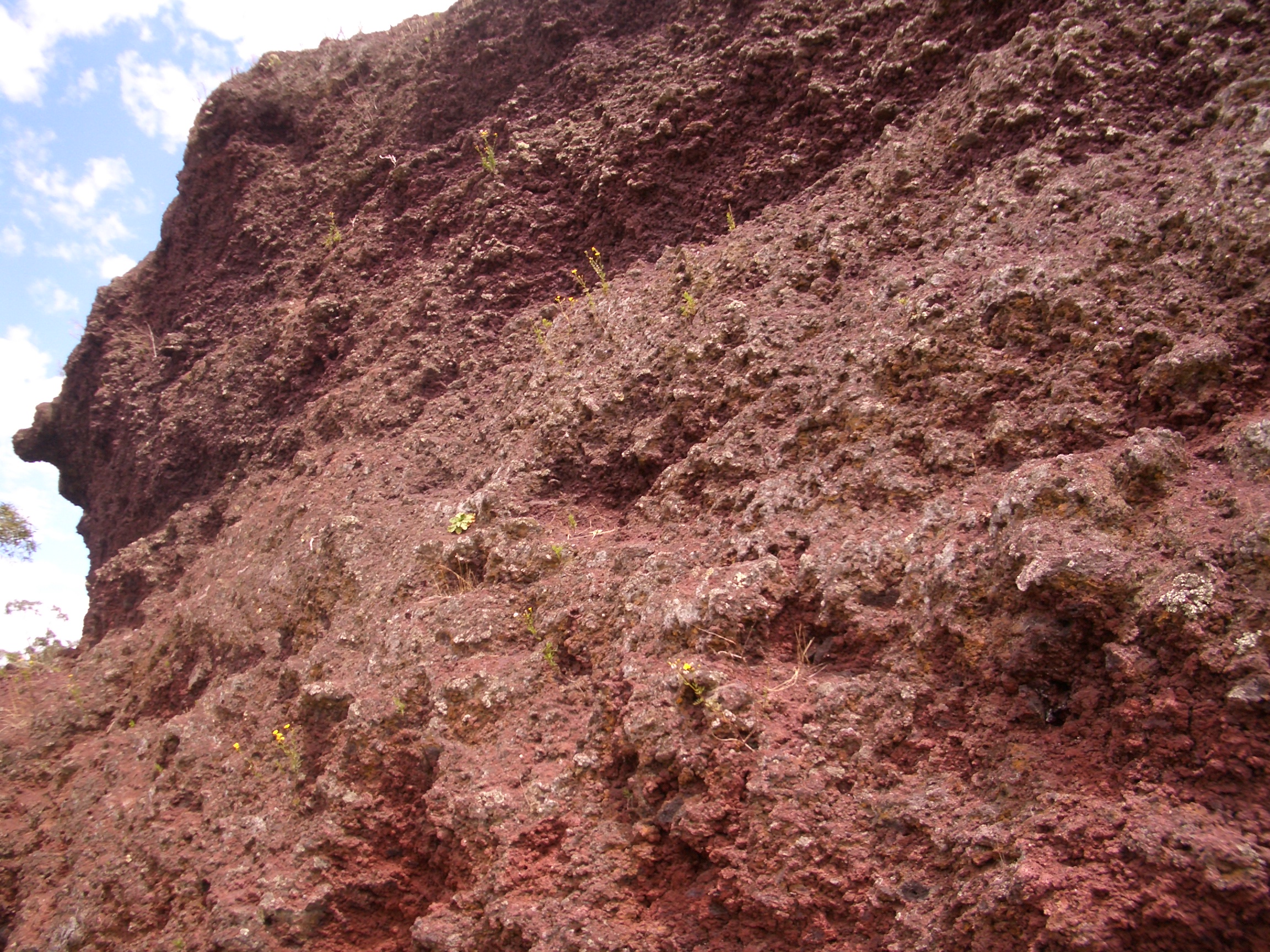
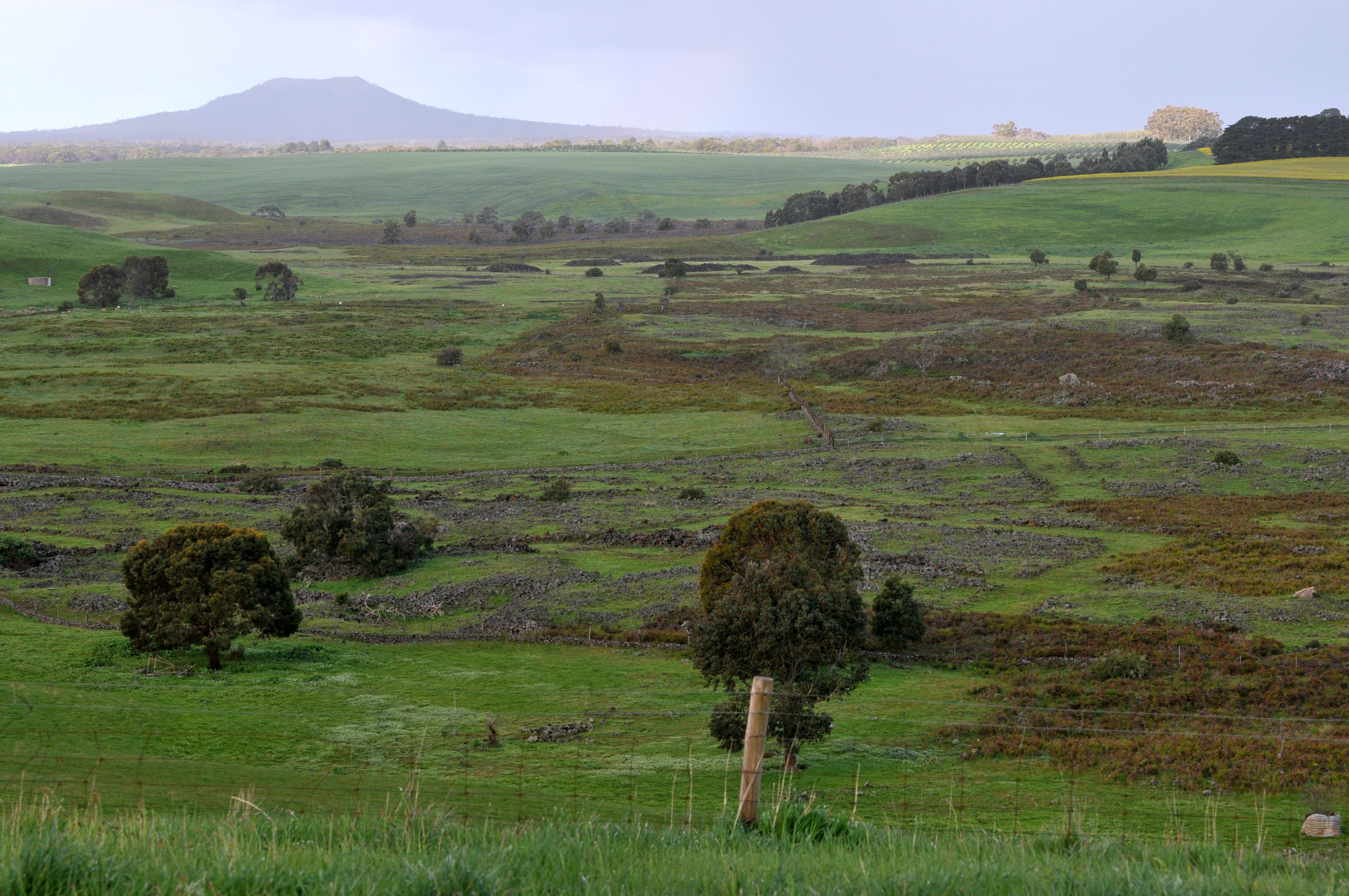
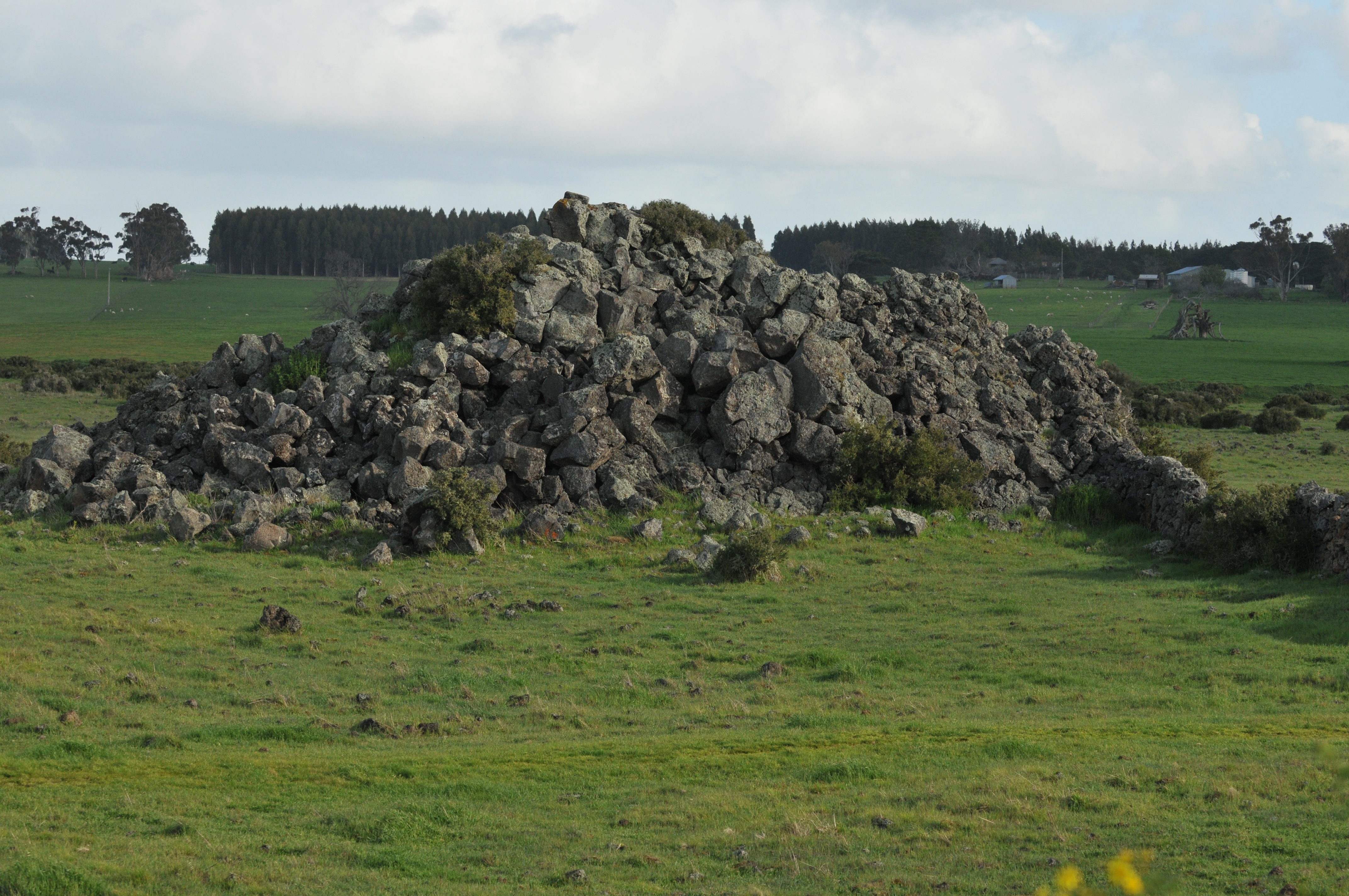
Der Mount Napier befindet sich im Mount Napier Statepark etwa 270 km westlich von Melbourne und 17 km von Hamilton. Der Vulkan war zuletzt 5.290 Jahre vor unserer Zeitrechnung aktiv. Der Lavafluss des Mount Napier reichte bis zum Mount Eccles, etwa 25 km südwestlich entlang des Harmans Valley bis nach Byaduk North. Der Lavaschuf Basalthügel. Diese Hügel, in Australien auch Tumuli genannt, sind einzigartig auf dem australischen Kontint und sie kommen selten in der übrigen Welt vor. Sie wurden durch Gasaustritt und Hitze geformt, als die Lava an die Erdoberfläche trat.[1] Einige Steinbrüche und Lavaröhren befinden sich bei Byaduk.
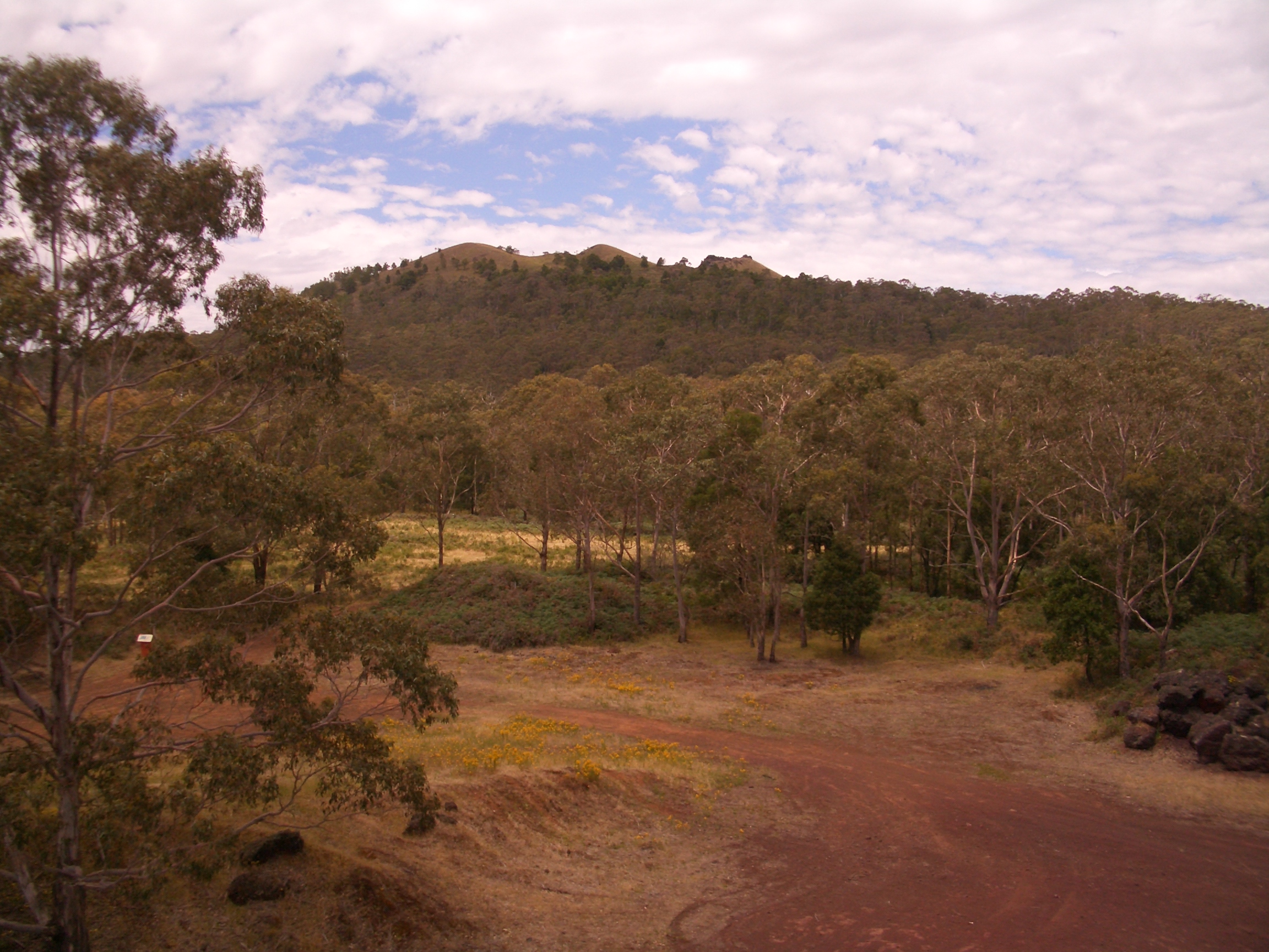
Mount Napier hat einen zusammengesetzten Lavaschild mit einem aufgelagerten Schlackenkegel. Der Kegel erhebt sich 150 m über die umgebende Ebene, der Berg erreicht eine Höhe von 440 m und macht den höchsten Punkt der Ebene im Western District Plain von Victoria aus. Mount Napier ist ein Teil der geologischen Newer Volcanics Province, die das jüngste vulkanische Zentrum in Australien bildete. Sie bedeckt ein Gebiet von 15.000 km² und hat 400 Vulkanschlote.
Fotos
-
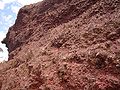
Erodierte Lava des Mount Napier
-
Blick auf den Vulkanrand
-

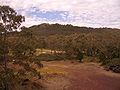
Blick vom Harmans Valley bis zum Mount Napier
-

Erodierter Lavahügel
Einzelnachweise
Weblinks
 Commons: Mount Napier – Sammlung von Bildern, Videos und AudiodateienKategorien:
- Berg unter 1000 Meter
- Geographie (Victoria)
- Berg in Australien
- Berg in Australien und Ozeanien
-
Wikimedia Foundation.