- Otara River
-
Otara River 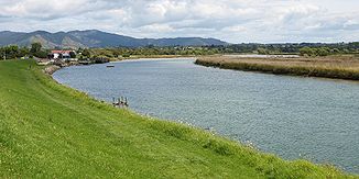
Otara River
Daten Lage Bay of Plenty (Region), Nordinsel (Neuseeland) Quelle westlich des Te Waiti Hill Mündung bei Opotiki in den Waioeka River -38.001438177.280712Koordinaten: 38° 0′ 5″ S, 177° 16′ 51″ O
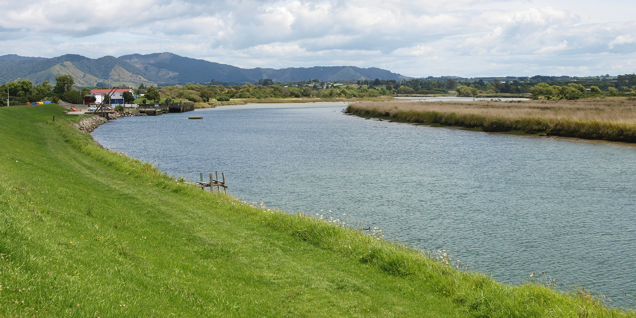
38° 0′ 5″ S, 177° 16′ 51″ O-38.001438177.280712Länge 30 km Kleinstädte Opotiki Gemeinden Otara Der Otara River, obwohl nur 30 km lang, ist für die Stadt Opotiki in der Region Bay of Plenty auf der Nordinsel von Neuseeland kein unbedeutender Fluss, umschließt er doch die Stadt von zwei Seiten und stellt mit dem auf der dritten Seite der Stadt entlang fließenden Waioeka River eine wassertechnische Herausforderung dar.
Inhaltsverzeichnis
Geografie
Der Fluss entspringt an der westlichen Flanke des 1.011 m hohen Te Waiti Hill im Gebiet des Urutawa Conservation Area, fließt in einem Rechtsbogen nach Norden und begrenzt die Stadt Opotiki von Westen und Norden, um dann an der westlichen Seite der Stadt knapp zwei Kilometer vor der Küste in den Waioeka River zu münden. Der Otara River entwässert ein Gebiet von 350 km2.
Nutzung
Im Schwemmland des Flusses, den Opotiki Flats, wird das Wasser des Flusses zur Wässerung der Felder verwendet und um die Stadt Opotiki herum lädt das recht klare Wasser zum Baden ein. Angeln ist im gesamten Flussverlauf möglich. Um Überflutungen zu vermeiden, wurde der Fluss eingedeicht.
Quellen
- Waioeka-Otara Rivers Scheme - Environment Bay of Plenty Regional Council - (abgerufen am 4. Februar 2010)
- 2008/09 Rivers and Drainage Assets Management Plan, Environment Bay of Plenty Regional Council, GHD Ltd., Juni 2009.
Einzelnachweise
Wikimedia Foundation.