- Parc national d'Oka
-
Parc national d'Oka 

Lage: Geographische Lage: 45° 28′ N, 74° 2′ W45.468055555556-74.030555555556Koordinaten: 45° 28′ 5″ N, 74° 1′ 50″ W Fläche: 23,7 km² Einrichtungsdatum: 1990 Verwaltungsbehörde: Parcs Québec, SEPAQ Der Oka-Nationalpark bzw. Parc national d'Oka ist einer der 24 Nationalparks in der kanadischen Provinz Québec. Dort entspricht ein Parc national allerdings dem, was in den übrigen Provinzen und Territorien ein Provinzpark ist.
Die Aufgabe des 1990 im äußersten Süden der Provinz eingerichteten, nur 23,7 km² großen Parks, besteht darin, einen Waldtyp zu erhalten bzw. zu regenerieren, der in Kanada selten geworden ist. Der Park grenzt über 7 km an den Lac des Deux Montagnes, eine Verbreiterung des Ottawa River.
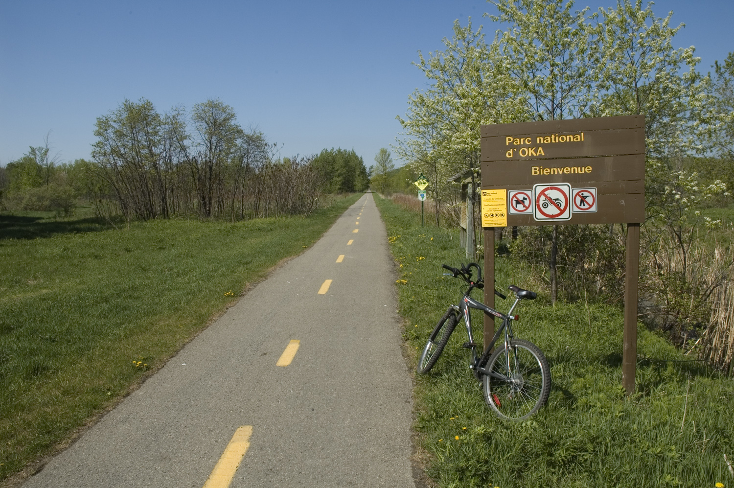
 Willkommen im Parc national d'Oka
Inhaltsverzeichnis
Geschichte
1974 wurden die Grenzen des zukünftigen Parks festgelegt. 2005 war die Umgebung des Parks noch weitgehend land- oder forstwirtschaftlich genutzt, nur 0,1 % der dortigen Flächen konnten sich von der wirtschaftlichen Nutzung erholen. Auch innerhalb des Parkgebiets erschweren Fragmentierung und Artenverarmung den Erhalt der Artenvielfalt, ebenso wie die Tatsache, dass rund ein Drittel der Arten hier nicht ursprünglich vertreten war.
Flora und Fauna
Zugvögel suchen in großer Zahl das Gebiet auf, ebenso gibt es Schildkröten und kleine Säugetiere, aber auch Weißwedelhirsche. Ihre Zahl und Verbreitung wurde erst ab 2010 untersucht.[1] Ähnlich sieht es bei den Fischbeständen, wie etwa am Lac de la Sauvagine, aus.
Literatur
- La recherche scientifique dans les Parcs nationaux québécois. Priorités et potentiels de recherche, hgg. von Parcs Québec und Sépaq, o. J., S. 139-145.
Weblinks
- Parc national d'Oka, Sépaq (franz.)
Anmerkungen
- ↑ A. Sabourin: Flore vasculaire et principaux groupements végétaux du parc national d’Oka, Parc national d'Oka 2009.

Wikimedia Foundation.