- Solitary Islands Marine Park
-
Der Solitary Islands Marine Park (State Water) wurde von der Regierung von New South Wales am 2. September 1998 als ihr erstes Meeresschutzgebiet ausgewiesen; bereits seit dem 3. März 1993 gab es den Solitary Islands Marine Reserve (Commonwealth Waters), der 200 Seemeilen von der Küstenlinie in den Ozean reicht. Die marinen Parks sind nach der Inselgruppe Solitary Islands benannt.
Das Meeresschutzgebiet der State Water reicht 75 km von der Muttonbird Island im Süden bis zum Sandon River und Plover Island im Norden. Das geschützte 710 km² große Meeresgebiet befindet sich etwa 600 km nördlich von Sydney.
Das Meereschutzgebiet Commonwealth Waters schützt mit 160 km² ein relativ ungestörtes und artenreiches Ökosystem mit einem Tiefsee-Riff, das mit dem offenen Ozean verbunden ist.[1] Der aus dem Ozean ragende Felsen Pimpernel Rock ist die beeindruckendste Landmarke dieses Meeresparks. [2]
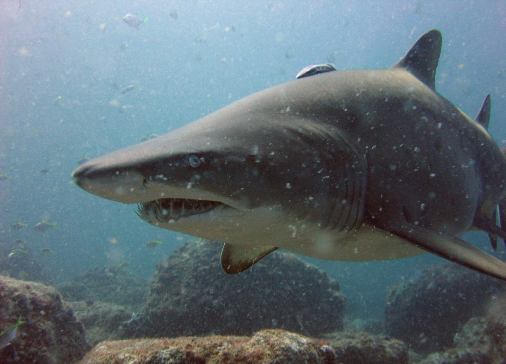
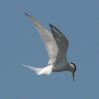
In dem Gewässern der Schutzgebiete befinden sich epipelagiale Fische, Sandtigerhaie (Carcharias taurus), der Zackenbarsch Epinephelus damelii, Delfine, aber auch Zwergseeschwalbe und andere Seevögel.[1]
Es wurden in den State Water wurden 280 Fisch-, 90 Korallen-, 4 Arten von Meeresschildkröten gezählt und Buckelwale gesichtet. Ferner finden sich dort zahlreiche Seeschnecken.
In den Commonwealth Waters in dem die Wasser von zwei Ozeanen zusammenkommen, befinden insgesamt 550 Fisch- und 90 Korallenarten.[2]
-
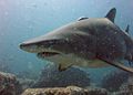
Sandtigerhai
-

Zwergseeschwalbe
Ferner sind 15 Schiffswracks aus der Zeit von 1833 bis 1976 bekannt, weitere werden vermutet.
Einzelnachweise
- ↑ a b environment.gov.au: Solitary Islands Marine Reserve (Commonwealth Waters), in englischer Sprache, abgerufen am 10. August 2011
- ↑ a b environment.nsw.gov.au: Solitary Islands Marine Park, in englischer Sprache, abgerufen am 10. August 2011
-19.923291119.914872Koordinaten: 19° 55′ 24″ S, 119° 54′ 54″ OKategorien:- Meerespark (Australien)
- Geographie (New South Wales)
- Naturschutzgebiet in Australien und Ozeanien
-
Wikimedia Foundation.