- Stelling Minnis
-
Stelling Minnis 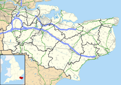
Koordinaten 51° 11′ N, 1° 4′ O51.1808333333331.0644444444444Koordinaten: 51° 11′ N, 1° 4′ O 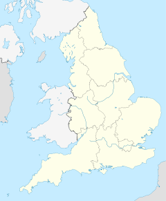

Stelling Minnis Bevölkerung 562 (Stand: 2001) Verwaltung Landesteil England Shire county Kent District Shepway Stelling Minnis ist ein Dorf im Shepway District der Grafschaft Kent in England, Vereinigtes Königreich.
Stelling Minnis liegt 13 Kilometer südlich von Canterbury.
Sehenswürdigkeiten
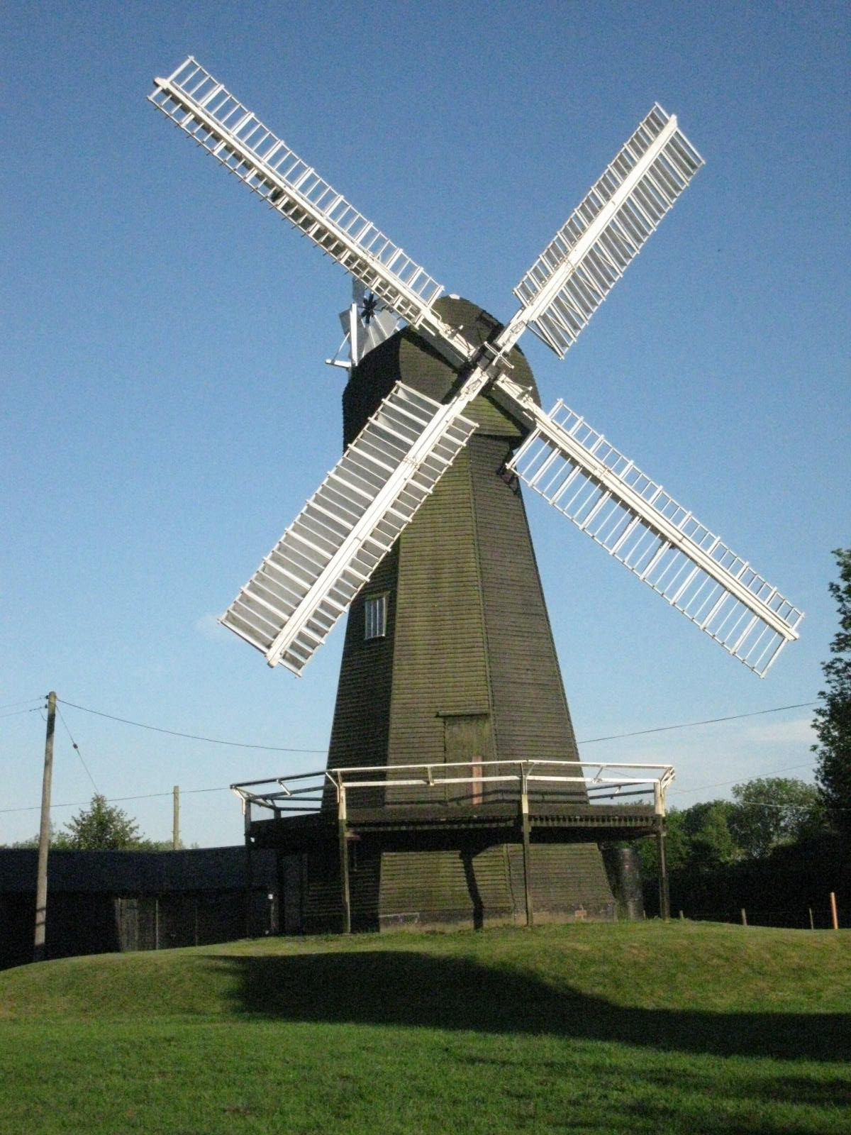
 Davison's Mill
Davison's Mill ist eine denkmalgeschütze Holländerwindmühle, die 1866 gebaut wurde. Sie war die letzte Windmühle in Kent die kommerziell genutzt wurde. Im Herbst 1970 wurde sie geschlossen, als der letzte Müller Alec Davison starb. 2003 wurde sie restauriert. Neben der Windmühle befindet sich ein Museum der Geschichte der Mühle.
Persönlichkeiten
- Guy Williams (*1971), britischer Springreiter
Kategorie:- Ort in Kent


Wikimedia Foundation.