- Windygates
-
Windygates Koordinaten 56° 12′ N, 3° 3′ W56.193055555556-3.055Koordinaten: 56° 12′ N, 3° 3′ W 

Windygates Bevölkerung 1.645 (Zensus 2001) Verwaltung Post town LEVEN Postleitzahlenabschnitt KY8 Landesteil Scotland Unitary authority Fife Britisches Parlament Glenrothes Schottisches Parlament Mid Fife and Glenrothes Windygates ist ein Dorf in der schottischen Unitary Authority Fife nördlich des Flusses Leven. Es liegt sechs Kilometer östlich von Glenrothes und 25 km nordnordöstlich von Edinburgh. Im Jahr 2001 betrug die Einwohnerzahl 1645.[1] Windygates war einst ein bedeutender Wegpunkt auf der Strecke zwischen Nordfife und der Fähre über den Firth of Forth.[2]
Mit der seit 1824 aktiven Cameronbridge-Brennerei betreibt der internationale Konzern Diageo in Windygates eine der größten Whiskybrennereien Schottlands.[3]
-
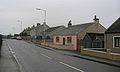
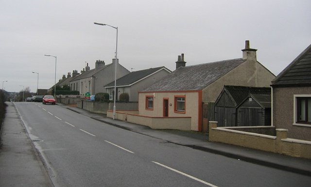
Straßenzug in Windygates
-
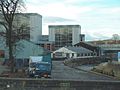
Cameronbridge-Brennerei
Einzelnachweise
Kategorie:- Ort in Fife
-


Wikimedia Foundation.