- Csóványos
-
Csóványos 
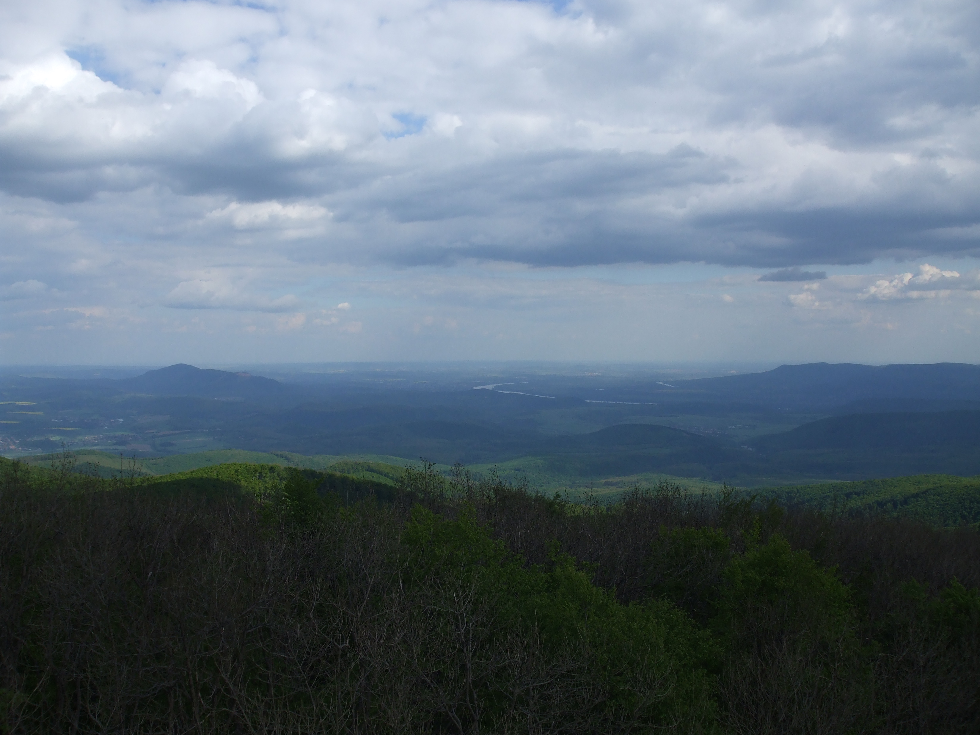
Panorama vom Aussichtsturm auf dem Csóványos
Höhe 938 m Lage Komitat Pest und Komitat Nógrád, Ungarn Gebirge Börzsöny Geographische Lage 47° 56′ 56″ N, 18° 56′ 54″ O47.94888888888918.948333333333938Koordinaten: 47° 56′ 56″ N, 18° 56′ 54″ O 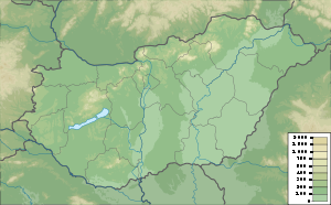

Der Csóványos ist mit 938 m[1] der höchste Berg im nordungarischen Gebirge Börzsöny.[2] Der Csóványos liegt an der Grenze der beiden Komitate Pest und Nógrád.
Der Csóványos ist Teil des Magas-Börzsönys („Hohes Pilsengebirge“) und formierte sich in der Zeit des Miozän vor 18–19 Millionen Jahren. Er hat sich in der Phase höchster vulkanischer Aktivität gebildet.
Referenzen
- ↑ Tom Chrystal, Beáta Dósa [2003]: Walking in Hungary – 32 routes through upland areas (Englisch), S. 69, Cicerone, ISBN 1-85284-352-7 (Zugriff am 20110415)
- ↑ Börzsöny (Ungarisch). Kirándul a család. Kirándul a család Programiroda (1997). Abgerufen am 20100422.
Kategorien:- Berg unter 1000 Meter
- Berg in Ungarn
- Berg in Europa

Wikimedia Foundation.