- Dennehotso
-
Dennehotso 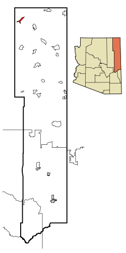 Lage in Arizona
Basisdaten Staat: Vereinigte Staaten Bundesstaat: Arizona County: Koordinaten: 36° 50′ N, 109° 52′ W36.837222222222-109.860833333331529Koordinaten: 36° 50′ N, 109° 52′ W Zeitzone: Mountain Standard Time (UTC−7) Einwohner: 734 (Stand: 2000) Bevölkerungsdichte: 28,7 Einwohner je km² Fläche: 25,7 km² (ca. 10 mi²)
davon 25,6 km² (ca. 10 mi²) LandHöhe: 1529 m Postleitzahl: 86535 Vorwahl: +1 928 FIPS: 04-18580 GNIS-ID: 0003954 Dennehotso (Navajo: Deinihootso) ist ein Census-designated place im Apache County im US-Bundesstaat Arizona und liegt am U.S. Highway 160.
Kategorien:- Ort in Arizona
- Apache County

Wikimedia Foundation.