- Flathead National Forest
-
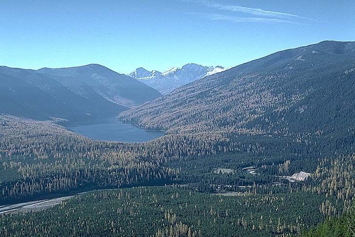
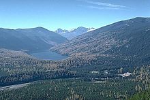 Big Salmon Lake
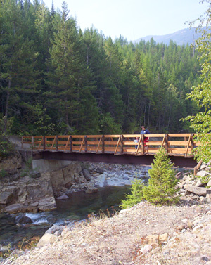
 Bear Creek
Der Flathead National Forest ist ein Nationalforst, der im westlichen Teil des US-Bundesstaates Montana gelegen ist. Der Forst bedeckt eine Fläche von 9300 km², wovon 4000 km² als Wildnis ausgewiesen sind. Er ist nach den Flathead Indianern, die dort lebten, benannt. Der Forst befindet sich in den Rocky Mountains und erhebt sich zwischen 1400 m und 2600 m Höhe. Der Forst bietet Lebensraum für etwa 250 Arten von wildlebenden Tieren und 22 Fischarten.
Hier befindet sich der Grant-Gletscher.
Weblinks
48.023888888889-113.80833333333Koordinaten: 48° 1′ 26″ N, 113° 48′ 30″ WKategorien:- Waldgebiet in Nordamerika
- National Forest (Vereinigte Staaten)
- Geographie (Montana)
Wikimedia Foundation.