Flinders Highway (South Australia)
- Flinders Highway (South Australia)
-
Der Flinders Highway ist eine Fernverkehrsstraße in South Australia, Australien. Er verläuft über eine Länge von 410 Kilometern entlang der westlichen Küstenlinie der Eyre-Halbinsel und verbindet die Städte Port Lincoln und Ceduna. Der Flinders Highway war Teil der Alternative 1 des National Highway 1 in Australien.
Verlauf
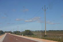
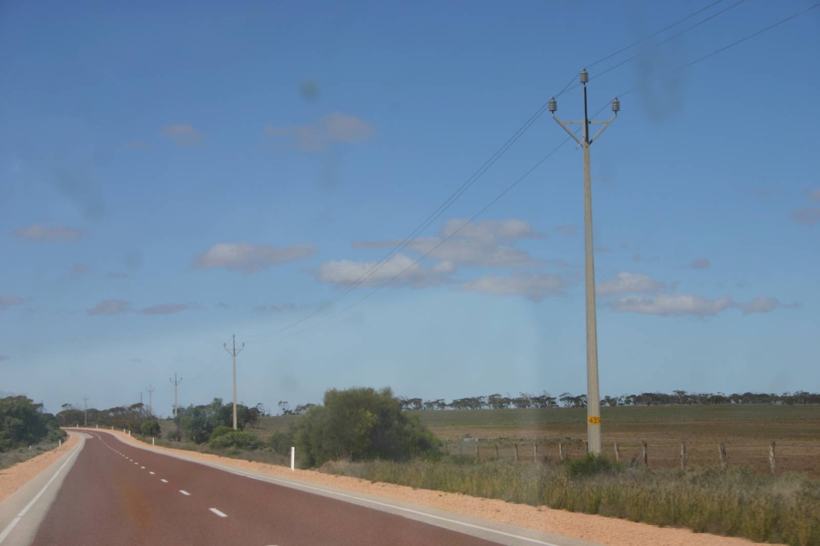
Blick auf den Flinders Highway
Der Flinders Highway beginnt in Port Lincoln an der Südspitze der Eyre Halbinsel als Fortsetzung des Lincoln Highway. Etwa 25 Kilometer westlich zweigt die Straße nach Coffin Bay vom Flinders Highway ab. Coffin Bay ist ein Zentrum der Austernzucht in Südaustralien.
Auf seinem weiteren Weg liegen nur wenige Orte am Flinders Highway. Elliston, Streaky Bay und Smoky Bay sind die größten Orte. Etwa 7 Kilometer östlich von Ceduna trifft der Flinders Highway auf den Eyre Highway und endet. Ceduna ist bekannt für Whale Watching Touren, die von der örtlichen Tourismusindustrie angeboten werden.
Wikimedia Foundation.
Schlagen Sie auch in anderen Wörterbüchern nach:
Flinders Highway, South Australia — Infobox Australian Road road name = Flinders Highway route route route photo = caption = Formerly length = 410 direction = Northwest Southeast start = finish = est = through = Laura Bay, Smoky Bay, Streaky Bay, Port Kenny, Elliston, Sheringa,… … Wikipedia
Flinders Highway — ist der Name zweier Straßen in Australien: Flinders Highway (Queensland) Flinders Highway (South Australia) Diese Seite ist eine Begriffsklärung zur Unterscheidung mehrerer mit demselben Wort bezeichneter Begriffe … Deutsch Wikipedia
Flinders Highway — There are two Australian highways called the Flinders Highway. *Flinders Highway, South Australia *Flinders Highway, Queensland … Wikipedia
South Australia — For the song, see South Australia (song). Coordinates: 30°0′S 135°0′E / 30°S 135°E / 30; 135 … Wikipedia
Flinders Highway, Queensland — Infobox Australian Road road name = Flinders Highway route route route photo = caption = Formerly length = 754 direction = West East start = finish = est = through = Julia Creek, Richmond, Hughenden, Charters Towers route = exits = Flinders… … Wikipedia
Geography of South Australia — South Australia occupies the south central part of the continent of Australia. It is one of the six states of Australia. South Australia is bordered on the west by Western Australia, to the north by the Northern Territory, Queensland to the… … Wikipedia
Leigh Creek, South Australia — Leigh Creek South Australia … Wikipedia
Streaky Bay, South Australia — Infobox Australian Place | type = town name = Streaky Bay state = sa caption = Map of South Australia highlighting Streaky Bay s location in yellow lga = District Council of Streaky Bay postcode = 5680 est = 1872 pop = 1077 (2001 Census)… … Wikipedia
Mount Osmond, South Australia — Mount Osmond Adelaide, South Australia Population: 612 (2006 Cen … Wikipedia
Gorge Road, South Australia — This article is about Gorge Road in Adelaide, South Australia. For Gorge Road in New Zealand, see Gorge Road. Gorge Road Little Para Road South Para Road Lyndoch Valley Road … Wikipedia