- Goyder Regional Council
-
Regional Council of Goyder 
Lage des Goyder Council in South AustraliaGliederung Staat:  Australien
Bundesstaat:  South Australia
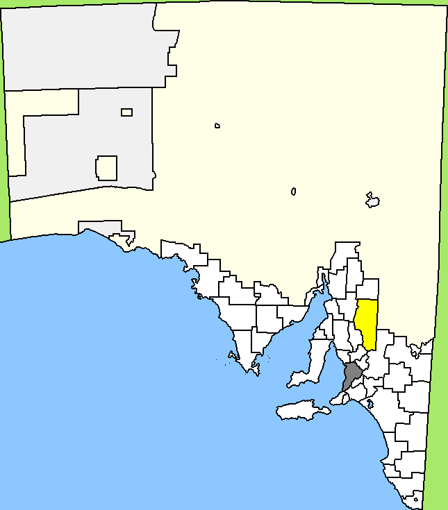
Verwaltungssitz: Burra Daten und Zahlen Fläche: 6.719 km² Einwohner: 4.185 (2006) [1] Bevölkerungsdichte: 0,6 Einwohner je km² Wards: 4 -33.683333333333138.93333333333Koordinaten: 33° 41′ S, 138° 56′ ODer Regional Council of Goyder ist ein lokales Verwaltungsgebiet (LGA) im australischen Bundesstaat South Australia. Das Gebiet ist 6719 km² groß und hat etwa 4.200 Einwohner.
Goyder liegt in der Lower-North-Region von Südaustralien etwa 140 km nordöstlich der Metropole Adelaide. Das Gebiet beinhaltet 64 Ortsteile und Ortschaften: Aberdeen, Apoinga, Australia Plain, Baldina, Baldry, Booborowie, Bower, Brady Creek, Braemar (Station), Bright, Brownlow, Buchanan, Bundey, Burra, Burra Eastern Districts, Burra North, Canowie, Canowie Belt, Collinsville, Copperhouse, Deep Creek, Dutton, Emu Downs (Hill), Eudunda, Farrell Flat, Franklyn, Frankton, Geranium Plains, Gum Creek, Hallelujah Hills, Hallett, Hampden, Hansborough, Hanson, Julia, Ketchowla, Koonoona, Kooringa, Leighton, Mallet (Reservoir), Mongolata, Mount Bryan, Neales, Neath Vale, Ngapala, North Booborwie, Pandappa, Peep Hill, Point Pass, Porter Lagoon, Robertstown, Rocky Plain, Steinfeld, Sutherlands, Terowie, Thistle Beds, Tracy, Ulooloo, Whyte-Yarcowie, Willalo, Worlds End, Worlds End Creek, Yarcowi und Yongala Vale. Der Verwaltungssitz des Councils befindet sich in Burra.
Verwaltung
Der Council von Goyder hat sieben Mitglieder, die von den Bewohnern der vier Wards gewählt werden (drei aus Burra Ward, zwei aus Eudunda Ward und je einer aus Hallett und Robertstown Ward). Diese vier Bezirke sind unabhängig von den Stadtteilen festgelegt. Aus dem Kreis der Councillor rekrutiert sich auch der Mayor (Bürgermeister) des Councils.
Weblinks
Einzelnachweise
- ↑ Australian Bureau of Statistics (25. Oktober 2007): Goyder (DC) (Local Government Area) (Englisch). 2006 Census QuickStats. Abgerufen am 6. April 2010.
Kategorie:- Local Government Area in South Australia
Wikimedia Foundation.