- Alligator Lake Volcanic Complex
-
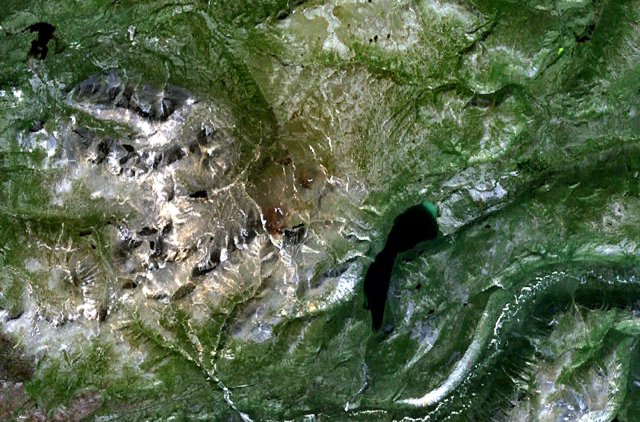
Alligator Lake 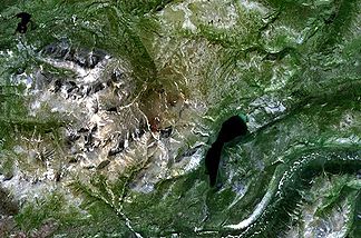
Luftaufnahme des Alligator Lake
Höhe 2.217 m ü. NN Lage Yukon, Kanada Geographische Lage 60° 25′ 0″ N, 135° 25′ 0″ W60.416666666667-135.416666666672217Koordinaten: 60° 25′ 0″ N, 135° 25′ 0″ W 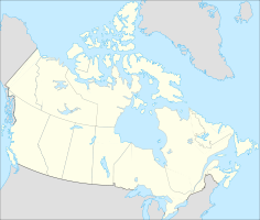

Typ Vulkanfeld Alter des Gesteins Holozän Alligator Lake Volcanic Complex ist eine Gruppe von basaltischen Kratern und Lavaströmen in Yukon, Kanada.
Die höchste Erhebung des Vulkanfelds ist 2.217 Meter. Der obere Teil des Vulkankomplexes wird durch zwei gut erhaltene Schlackenkegel gebildet, der markanteste von ihnen ist der Ibex Mountain Kegel mit einer Höhe von 1675 Meter. Die von diesen beiden Kegeln ausgehenden Lavaströme erstrecken sich bis 6 Kilometer nach Norden. Der Alligator Lake Volcanic Complex verdankt seinen Namen dem in der Nähe gelegenen Alligator Lake.
Quelle
- Alligator Lake Volcanic Complex im Global Volcanism Program der Smithsonian Institution (englisch)
Kategorien:- Zweitausender
- Geographie (Yukon)
- Vulkangebiet

Wikimedia Foundation.