- Inyokern
-
Inyokern 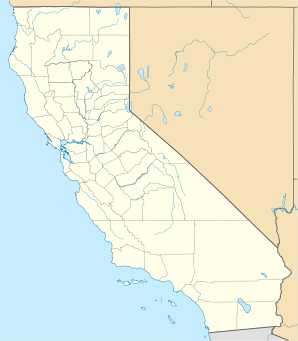

Inyokern Lage in KalifornienBasisdaten Staat: Vereinigte Staaten Bundesstaat: Kalifornien County: Koordinaten: 35° 39′ N, 117° 49′ W35.6475-117.81388888889742Koordinaten: 35° 39′ N, 117° 49′ W Zeitzone: Pacific Standard Time (UTC−8) Einwohner: 984 (Stand: 2000) Bevölkerungsdichte: 34,3 Einwohner je km² Fläche: 28,7 km² (ca. 11 mi²)
davon 28,7 km² (ca. 11 mi²) LandHöhe: 742 m Postleitzahl: 93527 Vorwahl: +1 760 FIPS: 06-36658 GNIS-ID: 0243875 Inyokern ist ein Dorf im Kern County im US-Bundesstaat Kalifornien. Inyokern hat 984 Einwohner auf einer Fläche von 28,7 km². Das Dorf wird vom U.S. Highway 395 tangiert. Inyokern hat die meisten Sonneneinstrahlungen Nordamerikas, mit über 355 Sonnentagen pro Jahr. Außerdem besitzt Inyokern mit dem Inyokern Airport einen eigenen Flughafen.
Geschichte
Inyokern wurde in der Mitte des 19. Jahrhunderts als kleine Gemeinde gegründet. Die erste Schule, die Inyokern Elementary School, wurde 1913 gegründet.
Kategorien:- Ort in Kalifornien
- Kern County

Wikimedia Foundation.