Isla Contoy

Isla Contoy

Vorlage:Infobox Insel/Wartung/Höhe fehlt

Isla Contoy
Isla Contoy
Isla Contoy
Gewässer Yucatanstraße
Geographische Lage 21° 29′ 46″ N, 86° 47′ 48″ W21.4962-86.796627Koordinaten: 21° 29′ 46″ N, 86° 47′ 48″ W
Isla Contoy (Mexiko)
Isla Contoy
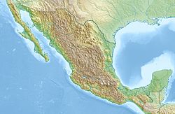
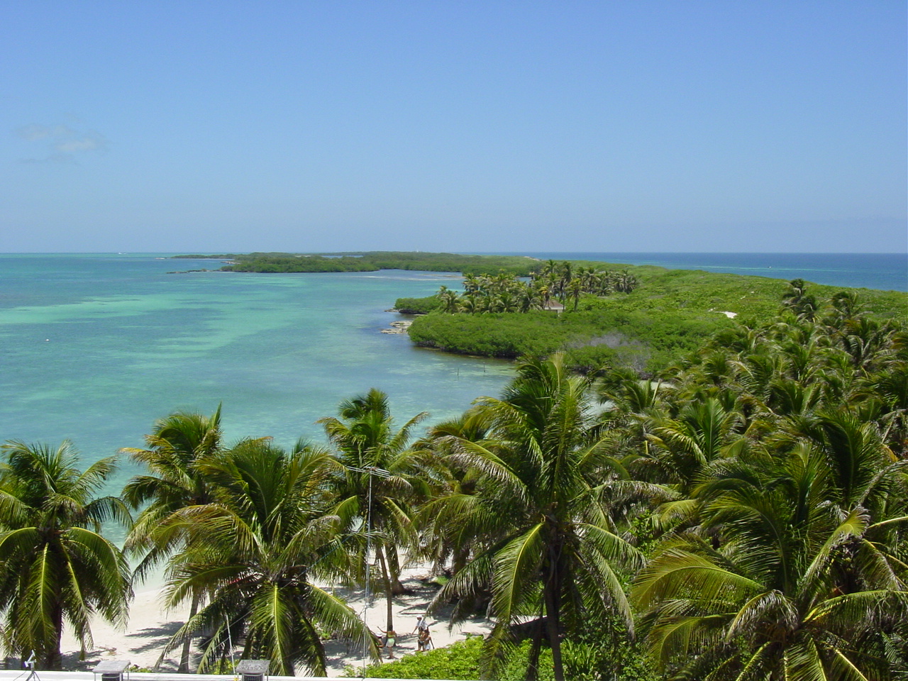
Länge 8,5 km
Fläche 3,17 km²
Einwohner (unbewohnt)

Die Isla Contoy ist eine kleine Insel vor der Küste Yucatáns im mexikanischen Bundesstaat Quintana Roo. Sie liegt ca. 30 km nördlich der Isla Mujeres zwischen Karibischem Meer und dem Golf von Mexiko. Sie erstreckt sich auf einer Fläche von nur 3,17 Quadratkilometern bei einer Länge von 8,5 km.

Die Insel ist infolge des Mangels an Süßwasser unbewohnt und Heimat von mehr als 150 verschiedenen Vogelarten, u.a. Pelikanen, Fregattvögeln und Kormoranen. Die Isla Contoy ist Brutplatz für Meeresschildkröten, und Flamingos sind dort ebenso zu Hause wie exotische Fischarten vor der Küste.

Isla Contoy ist seit 1961 durch die mexikanische Regierung geschützt und wurde im Februar 1998 zum Nationalpark erklärt.

Nur beaufsichtigter Ökotourismus ist gestattet und täglich dürfen nur 200 Gäste Isla Contoy besuchen. Tagesausflüge finden statt von Puerto Juarez nördlich von Cancún oder Isla Mujeres.

Weblinks


Wikimedia Foundation.

Игры ⚽ Нужен реферат?

Schlagen Sie auch in anderen Wörterbüchern nach:

  • Isla Contoy — Localización País …   Wikipedia Español

  • Isla Contoy — is a small island in the Mexican state of Quintana Roo, approximately 30 kilometers north of Isla Mujeres. The island is only 8.5 km in length and has an area of 3.17 square kilometres.Since 1961, Isla Contoy is protected by the Mexican… …   Wikipedia

  • Parque Nacional Isla Contoy — Saltar a navegación, búsqueda Isla Contoy Categoría IUCN II (Parque nacional) Isla Contoy …   Wikipedia Español

  • Isla Mujeres —   Municipality   …   Wikipedia

  • Isla Mujeres (municipio) — Municipio de Isla Mujeres Municipio de México …   Wikipedia Español

  • Parque Nacional Costa Occidental de Isla Mujeres — Parque Nacional Costa Occidental de Isla Mujeres, Punta Cancún y Punta Nizuc Saltar a navegación, búsqueda Costa Occidental de Isla Mujeres, Punta Cancún y Punta Nizuc Categoría IUCN II (Parque nacional) …   Wikipedia Español

  • Ekab — Saltar a navegación, búsqueda Ruinas arqueológicas en Polé (Xcaret) Ekab ó Ecab (idioma maya: ek cab, negro tierra ‘Tierra negra’)? …   Wikipedia Español

  • Sistema Arrecifal Mesoamericano — Resto del arrecife de coral en una playa de Quintana Roo, México El Sistema Arrecifal Mesoamericano, también conocido como el arrecife mesoamericano, y a menudo abreviado SAM, es un arrecife de coral que se extiende sobre aproximadamente 1000 km …   Wikipedia Español

  • Mesoamerican Barrier Reef System — For other uses, see Mesoamerica (disambiguation). Mesoamerican Barrier Reef System, Quintana Roo, Mexico The Mesoamerican Barrier Reef System (MBRS, also simply known as the Mesoamerican reef …   Wikipedia

  • Parcs nationaux du Mexique — Les parc nationaux du Mexique sont un ensemble de 67 aires protégées. Ils sont administrés par la Comisión Nacional de Áreas Naturales Protegida. Histoire Cette section est vide, insuffisamment détaillée ou incomplète. Votre aide est la… …   Wikipédia en Français

Share the article and excerpts

Direct link
Do a right-click on the link above
and select “Copy Link”