KNKT

KNKT
Marine Corps Air Station Cherry Point
Marine Corps Air Station Cherry Point (North Carolina)
DEC
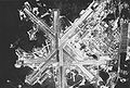
Kenndaten
IATA-Code NKT
ICAO-Code KNKT
Koordinaten
Verkehrsanbindung
Entfernung vom Stadtzentrum 6 km nordöstlich von Havelock
Straße NC 70, NC 101
Basisdaten
Eröffnung 1942
Betreiber United States Marine Corps
Fläche
Start- und Landebahnen
5L/23R 2.302 m Asphalt
5R/23L 2.496 m Asphalt
14L/32R 2.738 m Asphalt
14R/32L 2.560 m Asphalt

Die Marine Corps Air Station Cherry Point oder MCAS Cherry Point ist ein 120 Quadratkilometer großer Flugplatz des United States Marine Corps in der Kleinstadt Havelock im Craven County in North Carolina, einem Bundesstaat der Vereinigten Staaten an der Ostküste des Landes. Der Stützpunkt wurde 1941 erbaut und wird seit 1942, zunächst unter dem Namen Cunningham Field, als Flugfeld genutzt. Aktuell ist die 2nd Marine Aircraft Wing dort stationiert. Aufgrund der Länge und Breite der Start- und Landebahnen ist MCAS Cherry Point als Notlandeplatz für eventuelle Fehlstarts des Space Shuttle in Cape Canaveral, Florida geeignet[1]

Stationierte Einheiten

  • 2nd Marine Aircraft Wing
  • Marine Aircraft Group 14
  • Marine Wing Support Group 27
  • Marine Air Control Group 28
  • Combat Logistics Company 21
  • Hauptquartier des Commander Marine Corps Air Bases East

MCAS Cherry Point unterhält außerdem den Landeplatz MCALF Bogue in Bogue.
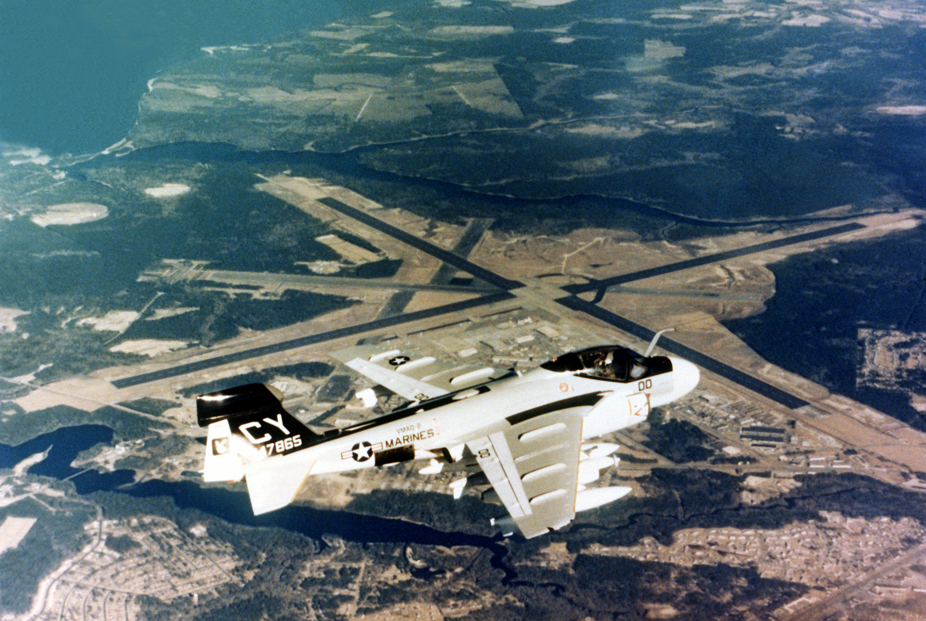
Einzelnachweise

  1. AirStaO 3121.1A MCAS Cherry Point Space Shuttle Support Plan

Weblinks


Wikimedia Foundation.

Игры ⚽ Нужен реферат?

Schlagen Sie auch in anderen Wörterbüchern nach:

  • KNKT — Infobox radio station name= KNKT city= Armijo, New Mexico area= Albuquerque, New Mexico frequency= 107.1 (MHz) branding= The Connection format= Religious airdate= 1988 erp= 25,000 watts class= C2 owner= Calvery of Albuquerque callsign meaning=… …   Wikipedia

  • KNKT — ICAO Airportcode f. Cherry Point Cunningham Field (North Carolina ; USA) see online …   Acronyms

  • KNKT — ICAO Airportcode f. Cherry Point Cunningham Field ( North Carolina ; USA) see online …   Acronyms von A bis Z

  • Авиакатастрофа в Индонезии 9 мая 2012 года — Авиакатастрофа в Индонезии 9 мая 2012 года Место крушения самолёта …   Википедия

  • Marine Corps Air Station Cherry Point — Coordinates: 34°54′03″N 076°52′51″W / 34.90083°N 76.88083°W / 34.90083; 76.88083 …   Wikipedia

  • Adam Air Flight 574 — Flight Route Accident summary Date 1 January 2007 …   Wikipedia

  • Media in Albuquerque, New Mexico — is a designated market area (DMA) or media market that includes print media (newspapers and magazines) and broadcast media (radio and television) in the greater Albuquerque metropolitan area. Contents 1 Television …   Wikipedia

  • National Team for Transportation Safety and Security — The National Team for Transportation Safety and Security was set up a few days after the disappearance of Adam Air Flight 574 on January 1, 2007, by President Susilo Bambang Yudhoyono, partially as a response to the high number of recent… …   Wikipedia

  • KLYT — Infobox Radio station name = KLYT city = Albuquerque, New Mexico area = slogan = branding = M88 frequency = 88.3 MHz airdate = share = share as of = share source = format = Contemporary Christian power = erp = 4,100 watts haat = 1294.0 meters… …   Wikipedia

  • SilkAir Flight 185 — Infobox Airliner accident|name=SilkAir Flight 185 Date=December 19, 1997 caption=Boeing 737 300, similar to Flight 185 Type=NTSC: undetermined NTSB: suicide/homicide site=Palembang, Indonesia coords =… …   Wikipedia

Share the article and excerpts

Direct link
Do a right-click on the link above
and select “Copy Link”