- Kakskerta
-
Kakskerta Gewässer Schärenmeer Geographische Lage 60° 21′ 30″ N, 22° 14′ 0″ O60.35833333333322.233333333333Koordinaten: 60° 21′ 30″ N, 22° 14′ 0″ O 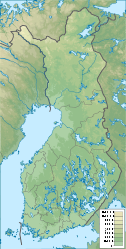

Fläche 21 km² Einwohner 633 (2004)
30 Einw./km²Lage von Kakskerta in Turku
Kakskerta [ˈkɑkskɛrtɑ] ist eine Insel im Schärenmeer vor der Südwestküste Finnlands und ein Stadtteil von Turku. Sie liegt ca. 9 Kilometer südlich des Stadtzentrums von Turku und hat eine Fläche von 21 Quadratkilometern. Mit nur 633 Einwohnern (2004) ist die Insel dünn besiedelt und stellt ein beliebtes Naherholungsgebiet für die Einwohner Turkus dar. In der Mitte der Insel liegt der langgezogene Kakskerranjärvi-See.
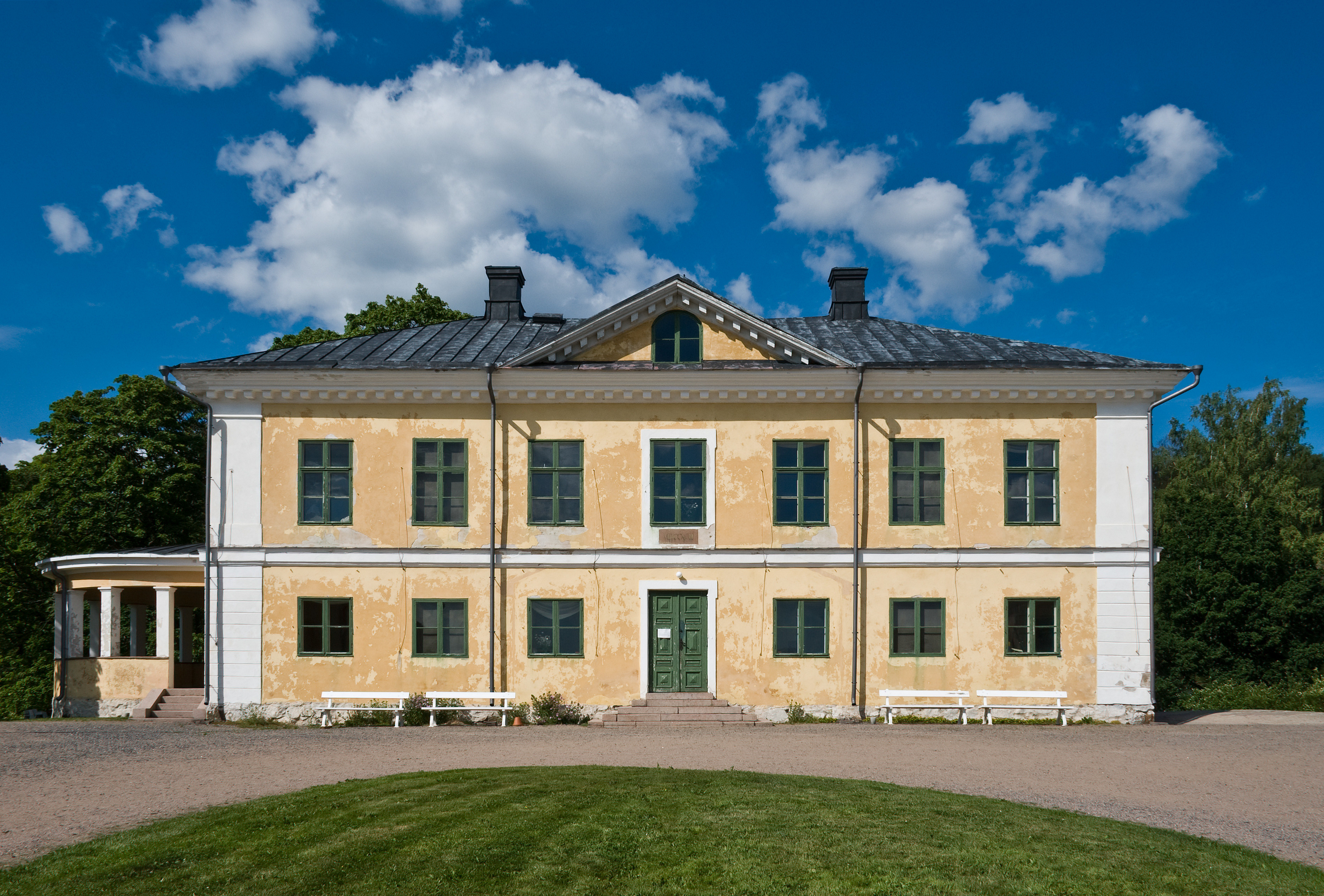
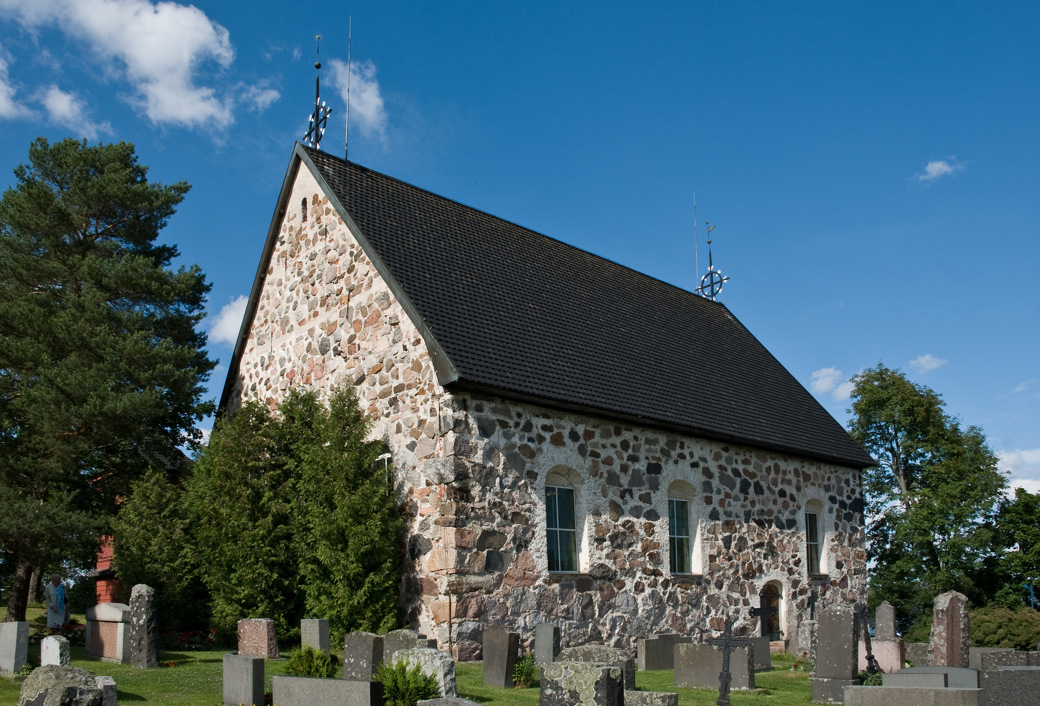
Kakskerta wurde 1968 in Turku eingemeindet. Zuvor hatte es eine eigene Gemeinde gebildet, zu der auch die nördliche Nachbarinsel Satava gehörte. Auf Kakskerta befinden sich eine 1765–1769 erbaute Feldsteinkirche und der klassizistische Gutshof Brinkhall (1793).
-

Gutshof Brinkhall
-
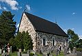
Kirche von Kakskerta
-
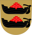
Wappen der ehemaligen Gemeinde Kakskerta
Kategorien:- Insel (Europa)
- Insel (Finnland)
- Insel (Ostsee)
- Stadtteil (Turku)
- Ehemalige Gemeinde in Finnland
- Ehemalige Gemeinde in Varsinais-Suomi
-


Wikimedia Foundation.