- Kaldidalur-Route
-
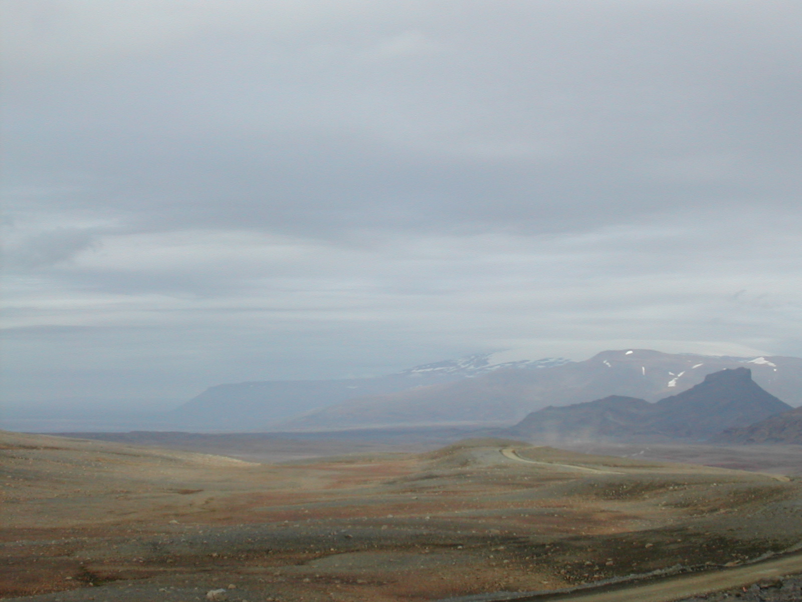
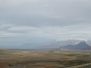 Kaldidalur
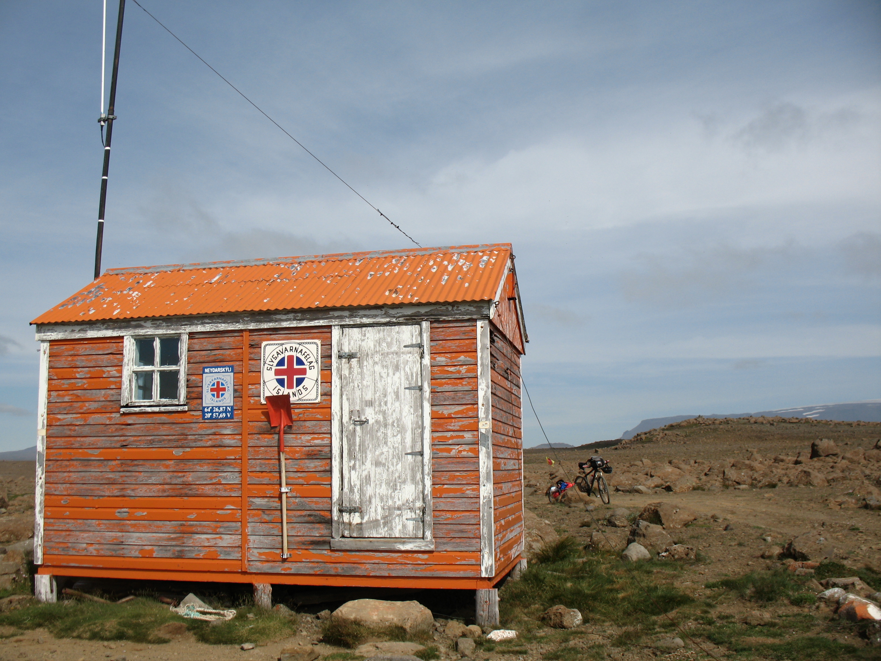
 Nothütte an der Kaldidalur
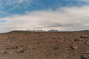 wüstenhafte Landschaft an der Kaldidalur
Das Kaldidalur (isl. kaltes Tal) ist ein Tal in Island. Der entlang des Kaldidalur verlaufende Kaldadalsvegur (F550) ist mit 40 km die kürzeste der Hochlandverbindungen des Landes. Man nennt sie daher oft „Hochland für Anfänger“. Flüsse oder große Bäche sind auf der Strecke nicht zu durchwaten oder zu durchfahren. Diese Strecke ist also auch mit einem normalen PKW befahrbar, wenn auch mit Schwierigkeiten.
Die F550 zweigt vor den Uxahryggir bei Biskupsbrekka in nördlicher Richtung von der Straße Nr. 52 (Uxahryggjavegur) ab. Der 1060 m hohe Schildvulkan Skjaldbreiður liegt östlich des Pistenanfangs. Den Verlauf nach Norden zwischen dem Þórisjökull und dem Ok markieren einige Steinwarten, die ihre eigene Geschichte haben. Östlich von Reykholt streift sie das Reykholtsdalur und nicht weit von Húsafell endet dieser Weg.
Eine Fortsetzung (F578) führt weiter nach Norden durch die seenreiche Arnarvatnsheiði bis nach Hvammstangi am Miðfjörður.
Die anderen bekannten Hochlandrouten sind die Kjölur und die Sprengisandur.
Siehe auch
- Geographie Islands
- Vulkane Islands
- Liste der Hochebenen und Bergpässe in Island
- Isländisches Hochland
Weblinks

Wikimedia Foundation.