- La Vancelle
-
La Vancelle 
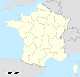

Region Elsass Département Bas-Rhin Arrondissement Sélestat-Erstein Kanton Sélestat Koordinaten 48° 17′ N, 7° 18′ O48.2861111111117.3038888888889436Koordinaten: 48° 17′ N, 7° 18′ O Höhe 436 m (217–810 m) Fläche 7,88 km² Einwohner 397 (1. Jan. 2008) Bevölkerungsdichte 50 Einw./km² Postleitzahl 67730 INSEE-Code 67505 Website http://lavancelle.com/ La Vancelle (deutsch: Wanzel) ist ein Vogesendorf im französischen Département Bas-Rhin. Die Gemeinde ist Mitglied der Communauté de communes de Sélestat.
Geografie
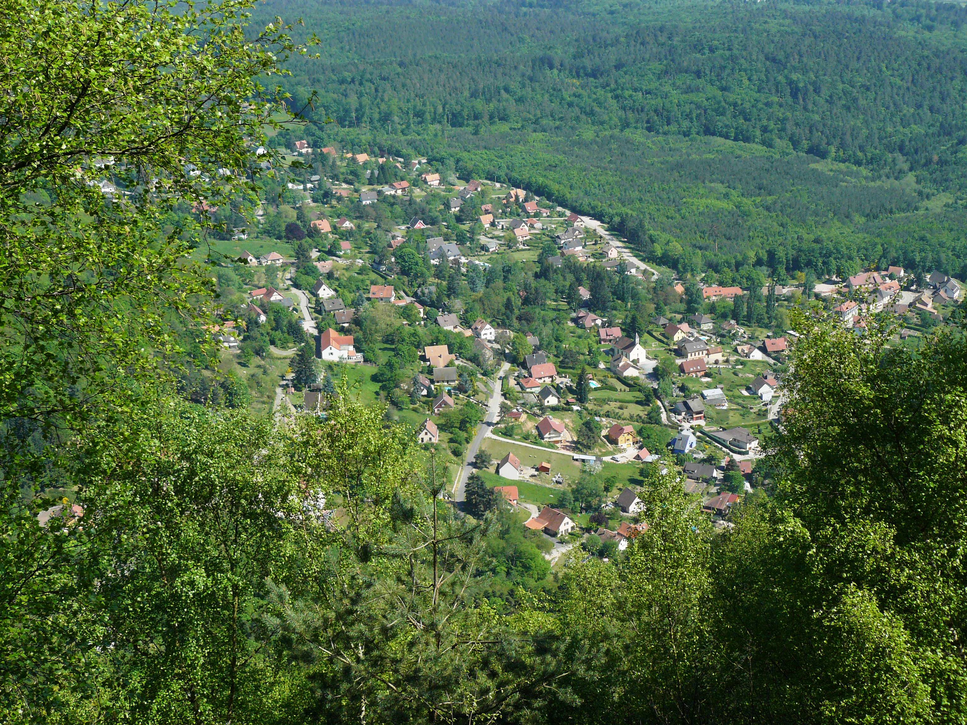
La Vancelle hat den Charakter einer Streusiedlung und ist durch eine Nebenstraße mit dem Val de Villé und somit mit der Nationalstraße N59 verbunden. Das umliegende Gebiet ist größtenteils bewaldet; im Norden befindet sich der Staatswald Forêt Domaniale de la Vancelle. Der Ort wird überragt vom Massiv des Altenbergs mit der Burgruine Frankenburg und dem Rocher du Coucou (Kuckucksfelsen). La Vancelle ist einer der Grenzorte des alemannischen Dialektraums.
Bevölkerungsentwicklung
Jahr 1851 1905 1936 1962 1968 1975 1982 1990 1999 2006 Einwohner 327 274 200 203 213 240 244 294 373 388 Weblinks
 Commons: La Vancelle – Sammlung von Bildern, Videos und Audiodateien
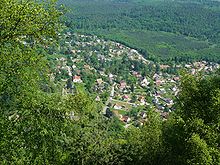 La Vancelle
Châtenois | Dieffenthal | Ebersheim | Ebersmunster | Kintzheim | La Vancelle | Orschwiller | Scherwiller | Sélestat
Wikimedia Foundation.
Schlagen Sie auch in anderen Wörterbüchern nach:
Vancelle — La Vancelle … Deutsch Wikipedia
La Vancelle — 48° 17′ 13″ N 7° 18′ 17″ E / 48.2869444444, 7.30472222222 … Wikipédia en Français
La Vancelle — Escudo … Wikipedia Español
La Vancelle — is a French commune, located in the département of Bas Rhin and the région of Alsace … Wikipedia
Rocher du Coucou — pris depuis le château du Frankenbourg Géographie Altitude 856 m Massif … Wikipédia en Français
Rocher du coucou — Rocher du Coucou pris depuis le château du Frankenbourg Géographie Altitude 856 m … Wikipédia en Français
Liepvre — Lièpvre Lièpvre Administration Pays France Région Alsace Département Haut Rhin Arrondissement Ribeauvillé Canton Sainte Marie aux Mi … Wikipédia en Français
Lièpvre — 48° 16′ 23″ N 7° 17′ 00″ E / 48.2730555556, 7.28333333333 … Wikipédia en Français
Musloch — Lièpvre Lièpvre Administration Pays France Région Alsace Département Haut Rhin Arrondissement Ribeauvillé Canton Sainte Marie aux Mi … Wikipédia en Français
Chalmont — Vue sur le Chalmont depuis l entrée du village de Lièpvre Géographie Altitude 702 m[1 … Wikipédia en Français
La Vancelle


18+
© Academic, 2000-2024
- Kontaktieren Sie uns: Unterstützung, Werbung
Wörterbücher Export, schritte mit PHP, Joomla, Drupal, WordPress, MODx.