Lake Elmenteita

Lake Elmenteita
Elmenteitasee
Geographische Lage: Ostafrika, Kenia
Zuflüsse: Meroronyi
Abflüsse: keine
Städte am Ufer: Gilgil
Daten
Koordinaten 0° 26′ 37″ S, 36° 15′ 31″ O-0.4436111111111136.2586111111117Koordinaten: 0° 26′ 37″ S, 36° 15′ 31″ O
Elmenteitasee (Kenia)
DEC
Elmenteitasee
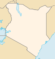
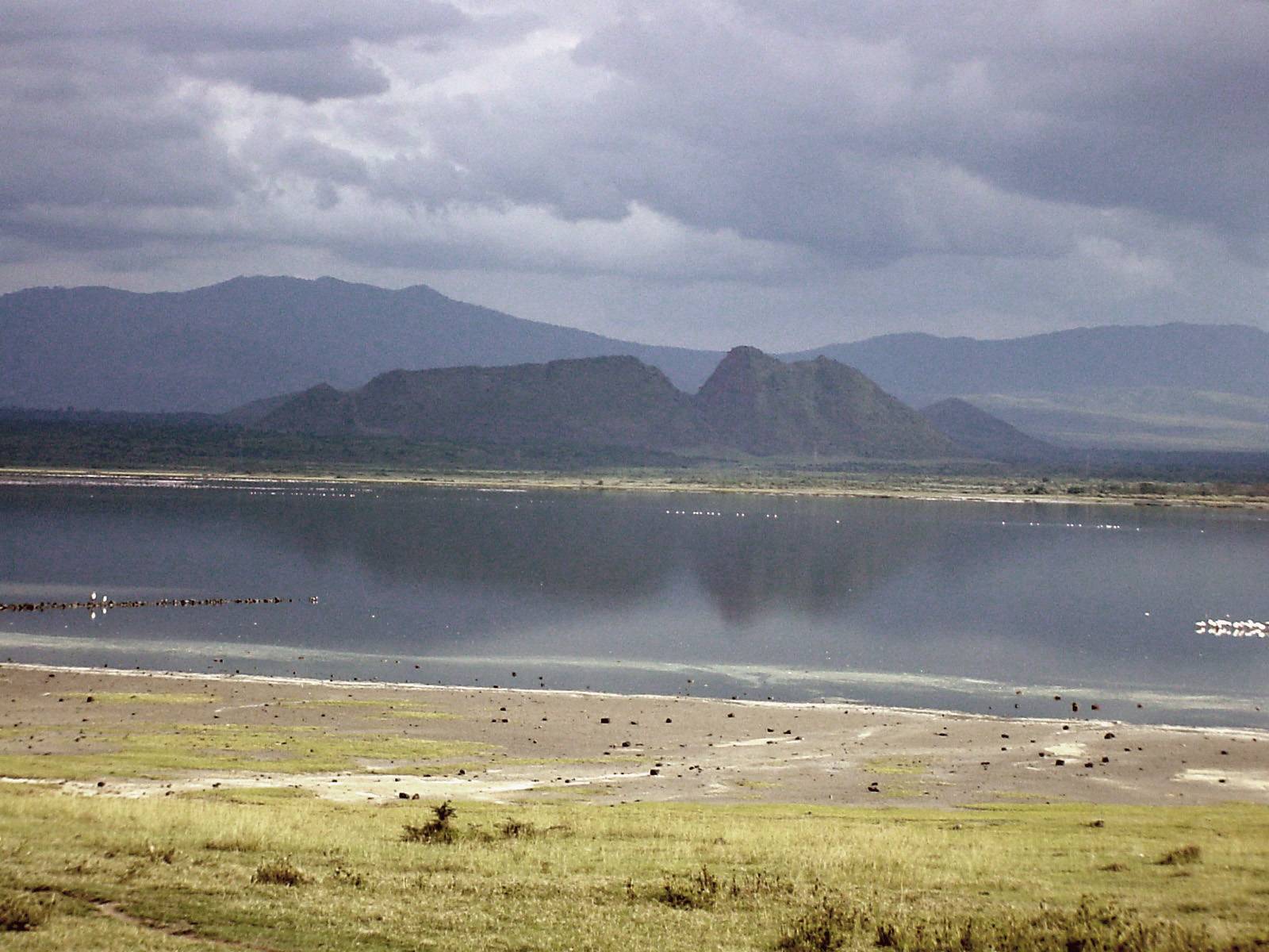
Höhe über Meeresspiegel 1790 m
Fläche 20 km²dep1
Maximale Tiefe 1,5 mdep1
Besonderheiten Sodasee

Der Elmenteitasee (Lake Elmenteita, auch Lake Elementeita oder Lake Elmentaita) ist ein stark alkalischer See im östlichen Arm des Ostafrikanischen Grabens (0°26'37"S, 36°15'31"E).

Inhaltsverzeichnis

Geographie

Der See liegt im östlichen Teil des Ostafrikanischen Grabenbruchs (Great Rift Valley). Das Seebecken wird im Norden vom der Menengai-Caldera, im Süden vom Vulkan Mt. Eburru, im Westen vom Grabenrand des Mau-Escarpments und im Osten vom Kinangop-Plateau und dem Aberdare-Vulkankomplex (Aberdare Range) begrenzt. Das nur 590 km² große Einzugsgebiet ist regenarm, weswegen das hydrologische Budget des Beckens extrem negativ und der abflusslose See stark alkalisch ist.

Der See liegt vollständig im Staate Kenia im District Nakuru in der Provinz Rift Valley, etwa 100 km nordwestlich der Hauptstadt Nairobi.

Flora und Fauna

Der See ist die Heimat zahlreicher Flamingos und Pelikane. Es leben keine Fische im See.

Umwelt

Der Elmenteitasee gehört zu den Ländereien von Lord Delamere, dessen Vater zu den frühen Siedlern British East Africas gehörten. An den Ufern des Sees liegen ausgedehnte Weidegebiete.

Weblinks


Wikimedia Foundation.

Игры ⚽ Нужна курсовая?

Schlagen Sie auch in anderen Wörterbüchern nach:

  • Lake Elmenteita — Infobox lake lake name = Lake Elmenteita image lake = Elementaita2.jpg caption lake = image bathymetry = caption bathymetry = location = coords = coord|0|27|S|36|15|E|region:KE type:waterbody source:GNS enwiki|display=inline,title type = inflow …   Wikipedia

  • Elmenteita Badlands — Elementeita Badlands Satellite image of the surrounding area from the ASTER Volcano Archive Elevation …   Wikipedia

  • Elmenteita-See — Elmenteitasee Geographische Lage: Ostafrika, Kenia Zuflüsse: Meroron …   Deutsch Wikipedia

  • Lake Bogoria — Infobox lake lake name = Lake Bogoria image lake = LakeBogoria.jpg caption lake = Flamingos nesting on the shoreline of the lake image bathymetry = caption bathymetry = location = coords = coord|0|15|N|36|06|E|region:KE… …   Wikipedia

  • Lake Chew Bahir — The remnants of Lake Chew Bahir as seen from space. Coordinates …   Wikipedia

  • Lake Nakuru — Infobox lake lake name = Lake Nakuru image lake = overview lakenakuru.jpg caption lake = May 2003 image bathymetry = caption bathymetry = location = Central Kenya coords = coord|0|22|S|36|05|E|region:KE type:waterbody|display=inline,title type =… …   Wikipedia

  • Mbweha Camp - Lake Nakuru — (Elmenteita,Кения) Категория отеля: 5 звездочный отель Адрес: Lake Nakuru …   Каталог отелей

  • East African lakes — ▪ lake system, East Africa Introduction  group of lakes in East Africa (eastern Africa). The majority of the East African lakes lie within the East African Rift System, which forms a part of a series of gigantic fissures in the Earth s crust… …   Universalium

  • Soysambu conservancy — was created in 2008 as an entity to conserve the flora, fauna and scenery of Soysambu ranch which is to the Northwest of Gilgil, Rift Valley Province, Kenya. The Conservancy has Taken a conservation lease over the ranch which would be the portal… …   Wikipedia

  • Wikiproyecto:Patrimonio de la Humanidad — Patrimonio de la Humanidad …   Wikipedia Español

Share the article and excerpts

Direct link
Do a right-click on the link above
and select “Copy Link”