Langenburg (Saskatchewan)
- Langenburg (Saskatchewan)
-
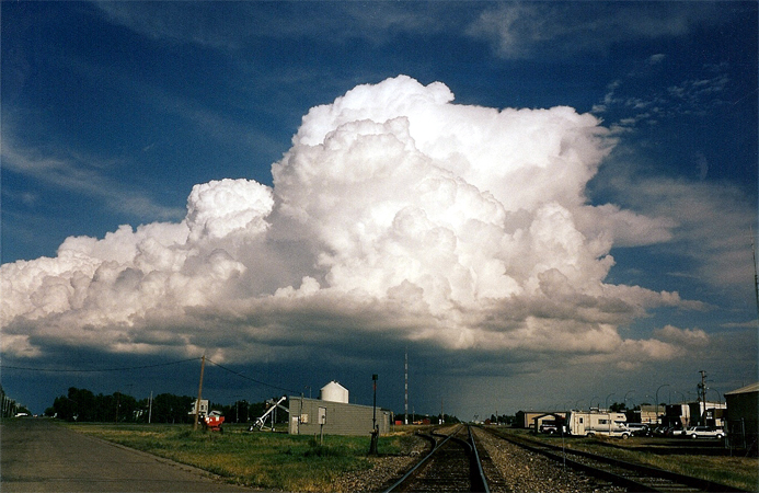
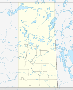
Langenburg (ausgesprochen / lændʒənbərg /) ist eine Stadt in der ländlichen Gemeinde Langenburg in der kanadischen Provinz Saskatchewan. Langenburg liegt am Higway 16 im südöstlichen Teil der Provinz. Die nächste Stadt, Yorkton, befindet sich 70 km nordwestlich.
Langenburg wurde in den 1880er Jahren hauptsächlich von Deutschen besiedelt. Benannt wurde die Stadt zunächst als "Kolonie Hohenlohe" nach Prinz von Hohenlohe Langenburg. Im Winter 1886/87 wurde der Ort an die Manitoba and Northwestern Railway angeschlossen. Diese errichtete einen Bahnhof namens Langenburg, dem der Ort seinen Namen verdankt.
Wikimedia Foundation.
Schlagen Sie auch in anderen Wörterbüchern nach:
Langenburg, Saskatchewan — Infobox Settlement settlement type = Town official name = Langenburg nickname = motto = Family Friends imagesize = image caption = image mapsize = map caption = mapsize1 = map caption1 = pushpin pushpin label position = left latd=50.50|longd= 101 … Wikipedia
Saskatchewan Highway 16 — Infobox road marker province=SK name notes=Provincial Highway 5 and 14 (historic) type=Hwy route=16 alternate name=Yellowhead Trans Canada Highway maint=Ministry of Highways and Infrastructure Transport Canada length km=699.08 length round=2… … Wikipedia
Langenburg No. 181, Saskatchewan — Infobox Settlement official name = Langenburg No. 181, Saskatchewan other name = native name = nickname = settlement type = motto = imagesize = image caption = flag size = image seal size = image shield = shield size = city logo = citylogo size … Wikipedia
Saskatchewan Highway 8 — Infobox road province= marker highway name=Highway 8 name notes= type= route= alternate name= maint= section= length first=km length km=410 length mi=255 length round= length ref= length notes= established= decommissioned= direction a=South… … Wikipedia
List of communities in Saskatchewan — Communities of the Province of Saskatchewan, Canada are incorporated towns, cities, villages, and resort villages and unincorporated organized hamlets.[1] Regional rural forms of administration are rural municipalities.[clarification needed]… … Wikipedia
Churchbridge, Saskatchewan — Churchbridge … Wikipedia
Comunidades en Saskatchewan — Las Comunidades de la provincia de Saskatchewan, Canadá son todas las villas, ciudades, pueblos, incorporados, villas turísticas y aldeas organizadas no incorporadas.[1] Las formas rurales regionales de administración son municipalidades… … Wikipedia Español
List of rural municipalities in Saskatchewan — This is a list of rural municipalities in the Canadian province of SaskatchewanMediaWiki:Toc: Top 0–9 A B C D E F G H I K L M N O P R S T UV W Listing by rural number NOTOC A*Aberdeen No. 373 *Abernethy No. 186 *Antelope Park No. 322 *Antler No.… … Wikipedia
Churchbridge No. 211, Saskatchewan — Churchbridge No. 211, Saskatchewan … Wikipedia
Division No. 5, Saskatchewan — NWT AB MB USA 1 2 … Wikipedia

 Langenburg, Saskatchewan
 Kategorie: