- Mountains of Mourne
-
 Blick auf die Mountains of Mourne
 Der Mourne Wall
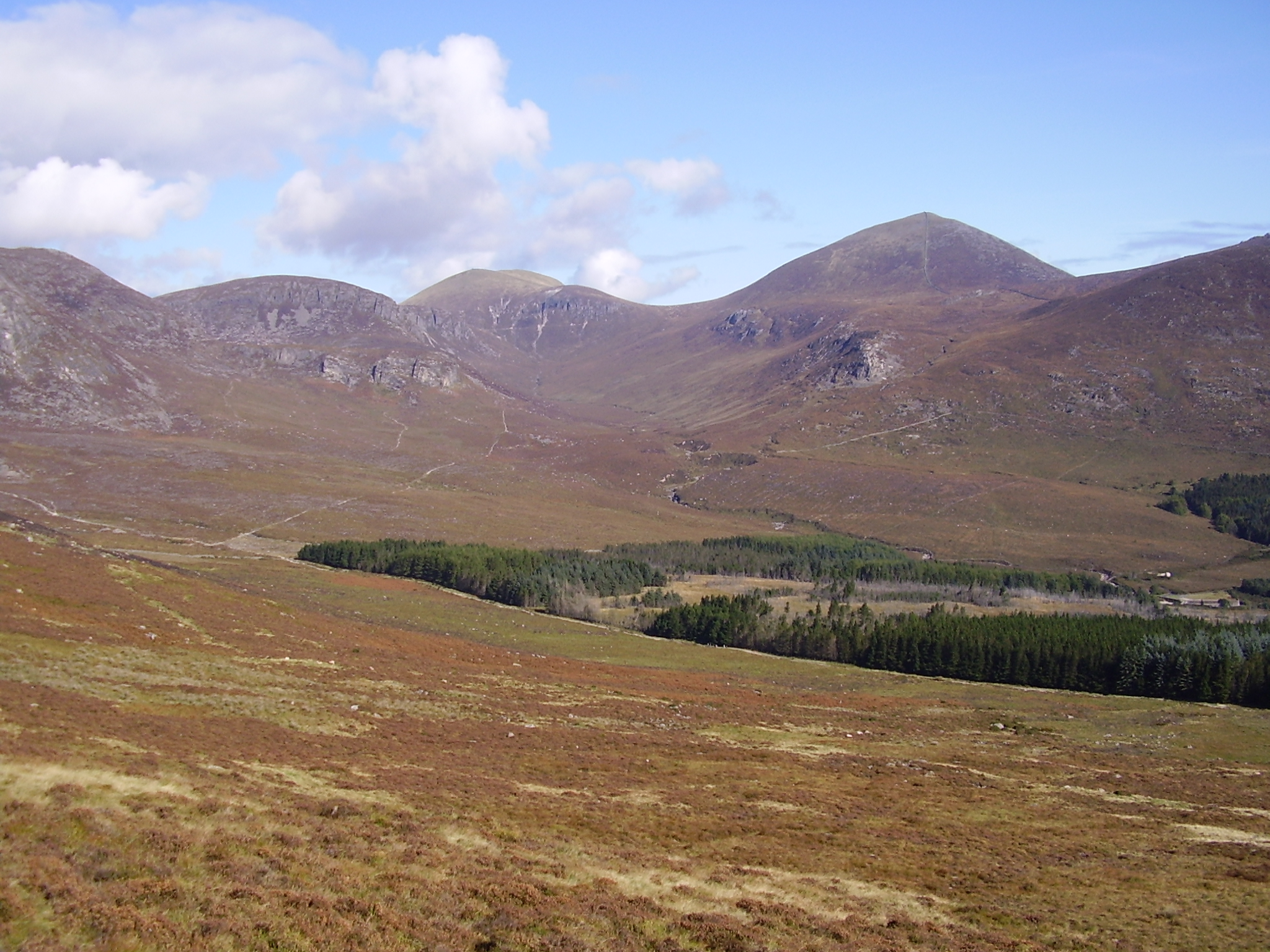
Die Mountains of Mourne (irisch: Na Beanna Boirche) sind ein aus Granit bestehender Gebirgszug rund 50 km südlich der nordirischen Hauptstadt Belfast, zwischen Newry und Newcastle im County Down gelegen. Bekanntester Gipfel ist der Slieve Donard, mit 849 Metern der höchste Berg Nordirlands. Die Gegend ist als sogenannte Area of Outstanding Natural Beauty klassifiziert, hier soll auch der erste Nationalpark Nordirlands entstehen.
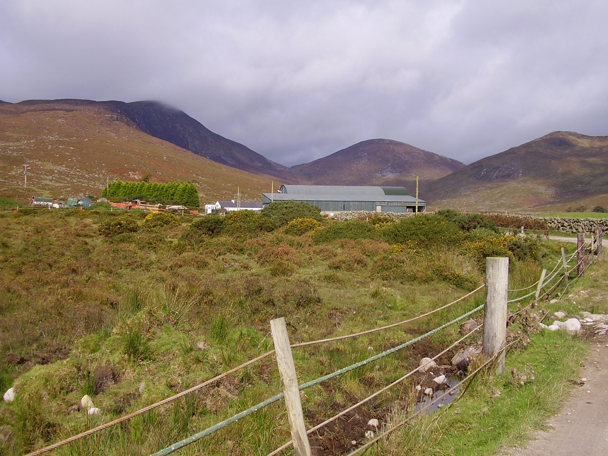
Die Berge sind ein beliebtes Naherholungsgebiet und werden von vielen Touristen, Wanderern, Mountainbikefahrern und Bergsteigern aufgesucht. Nach einer Spendenaktion im Jahr 1993 erwarb der National Trust ein 5,26 km² großes Gebiet in den Mournes. In diesem liegen der Slieve Donard und der benachbarte Slieve Commedagh, mit 767 m der zweithöchste Berg in der Gegend. Eine Sehenswürdigkeit ist der Mourne Wall. Diese 35 km lange Trockenmauer wurde zwischen 1904 und 1922 errichtet und umgibt das Quellgebiet und die Stauseen die der Trinkwasserversorgung der Stadt Belfast dienen. Mit dieser Mauer sollten ursprünglich Schafe und Rinder aus dem Trinkwassergebiet ferngehalten werden.
Bilder
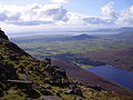
Silent Valley Stausee und Carlingford Lough

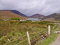
Slieve Donard und Analong Wood
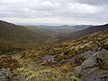
Bergpanorama
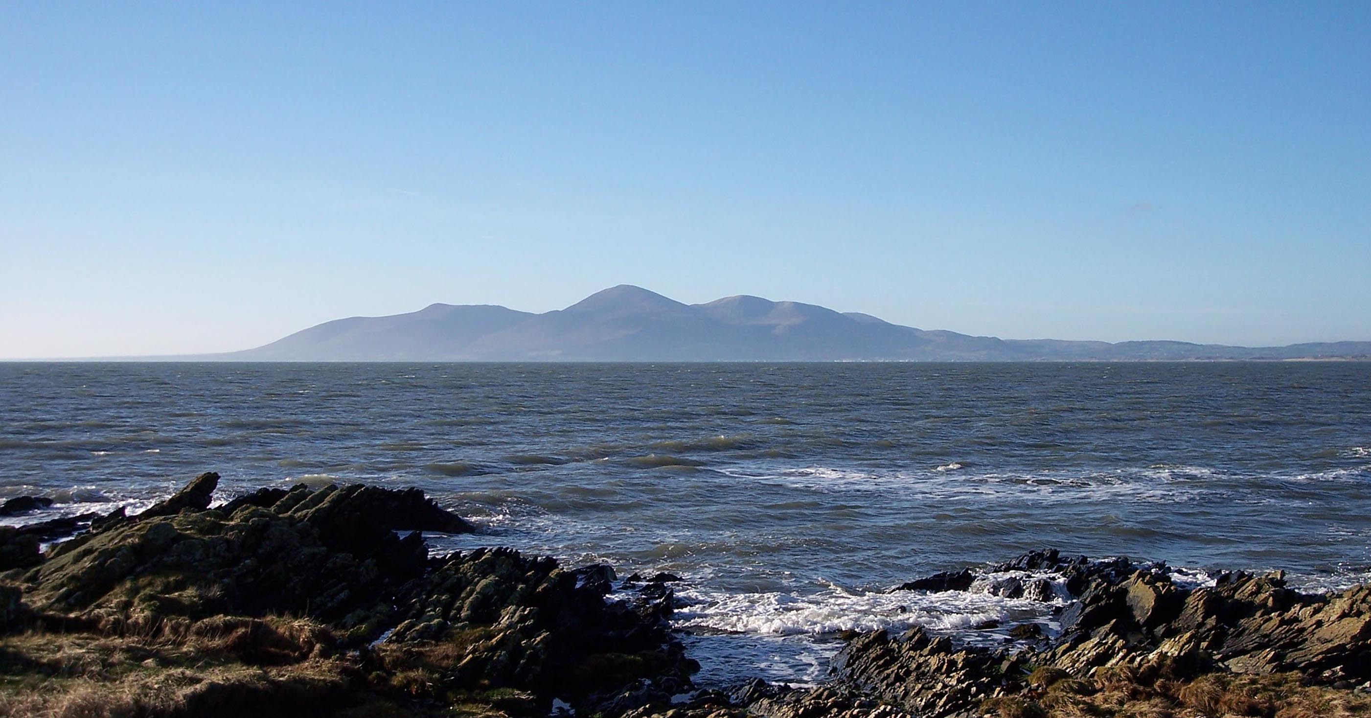
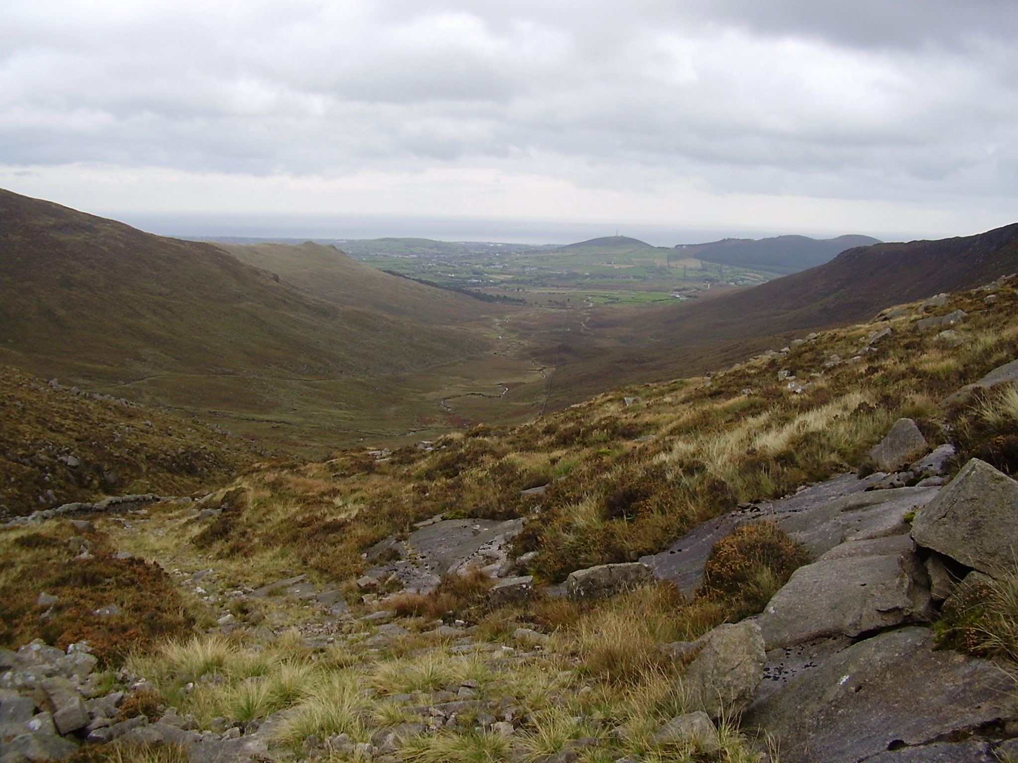
Blick Richtung Kilkeel und Irische See
Weblinks


Wikimedia Foundation.