Mt. Matutum

Mt. Matutum
Matutum
Höhe 2.286 m
Lage Insel Mindanao, Philippinen
Geographische Lage 6° 22′ 0″ N, 125° 6′ 30″ O6.3666666666667125.108333333332286Koordinaten: 6° 22′ 0″ N, 125° 6′ 30″ O
Matutum (Philippinen)
DEC
Matutum
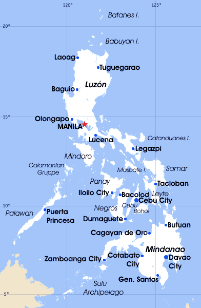
Typ Schichtvulkan
Letzte Eruption 7. März 1911

Der Matutum ist ein Vulkan auf der Insel Mindanao auf den Philippinen. Er liegt 15 km nördlich von Polomolok, South Cotabato und etwa 30 km Nord-Nord-West von General Santos.

Geologische Eigenschaften

Matutum ist ein Schichtvulkan mit einer Höhe von 2.286 Metern und einem Basisdurchmesser von 25 km. Am Vulkangipfel hat sich ein 320 m breiter und 120 m tiefer Krater ausgebildet.

Eruption

Der letzte Ausbruch des Matutum ereignete sich am 7. März 1911 mit einer Explosion ähnlich der des Mount St. Helens am 18. Mai 1980.

Er gehört zu den 22 aktiven Vulkanen der Philippinen und liegt innerhalb des sogenannten Pazifischen Feuerrings.

Weblinks


Wikimedia Foundation.

Игры ⚽ Нужно сделать НИР?

Schlagen Sie auch in anderen Wörterbüchern nach:

  • Matutum — Höhe 2.286 m …   Deutsch Wikipedia

  • Matutum — Volcano, is a volcano on the island of Mindanao in the Philippines. It is 15 km north of Polomolok, South Cotabato and about 30 km north northwest of General Santos City (6°22 N, 125°06.5 E).Physical featuresMatutum is a stratovolcano that rises… …   Wikipedia

  • Mount Matutum — Matutum Matutum Elevation 2,286 m (7,500 ft) …   Wikipedia

  • PH-SCO — Lage der Provinz South Cotabato South Cotabato ist eine Provinz der Philippinen. Sie befindet sich im Süden der Hauptlandmasse der Insel Mindanao. Politisch gehört die Provinz zu dem Bezirk Nummer XII, auch genannt SOCCSKSARGEN. Die Hauptstadt… …   Deutsch Wikipedia

  • South Cotabato — Infobox Philippine province name = South Cotabato sealfile = Ph seal south cotabato.png region = SOCCSKSARGEN (Region XII) capital = Koronadal City founded = pop2000 = 1,102,550 pop2000rank = 21st largest popden2000 = 246 popden2000rank = 30th… …   Wikipedia

  • South Cotabato — Lage der Provinz South Cotabato South Cotabato ist eine Provinz der Philippinen. Sie befindet sich im Süden der Hauptlandmasse der Insel Mindanao. Politisch gehört die Provinz zu dem Bezirk Nummer XII, auch genannt SOCCSKSARGEN. Die Hauptstadt… …   Deutsch Wikipedia

  • Liste von Vulkanen auf den Philippinen —  Karte mit allen Koordinaten: OSM, Google oder …   Deutsch Wikipedia

  • Mindanao — Coordinates: 8°00′N 125°00′E / 8°N 125°E / 8; 125 …   Wikipedia

  • Mount Apo — The Grandfather of Philippine Mountains Elevation 2,954 m (9,692 ft)  …   Wikipedia

  • Mount Pulag — Elevation 2,922 m (9,587 ft) [1] …   Wikipedia

Share the article and excerpts

Direct link
Do a right-click on the link above
and select “Copy Link”