- Nappanee
-
Nappanee 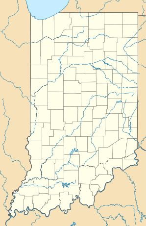

Nappanee Lage in IndianaBasisdaten Gründung: 1822 Staat: Vereinigte Staaten Bundesstaat: Indiana Countys: Koordinaten: 41° 27′ N, 86° 0′ W41.444166666667-85.999444444444Koordinaten: 41° 27′ N, 86° 0′ W Zeitzone: Eastern Standard Time (UTC−5) Einwohner: 6710 (Stand: 2000) Postleitzahl: 46550 Vorwahl: +1 574 FIPS: 18-52020 GNIS-ID: 0439936 Webpräsenz: www.nappanee.org Bürgermeister: Larry Thompson Nappanee ist eine Kleinstadt im Norden von Indiana, USA.
Beschreibung
Der Name ist aus den Algonkin-Sprachen entlehnt und bedeutet vermutlich „Mehl“.[1] Die Stadt hat 6.710 Einwohner im Jahr 2000 gehabt. Im Jahr 2000 befanden sich dort 2.521 Haushalte mit insgesamt 1.792 Familien. Die meisten Bewohner (mehr als 95%) werden zu der weißen Bevölkerungsgruppe gezählt. Von den restlichen statistisch erfassten Bevölkerungsgruppen kommt keine über 0,3%. [2]
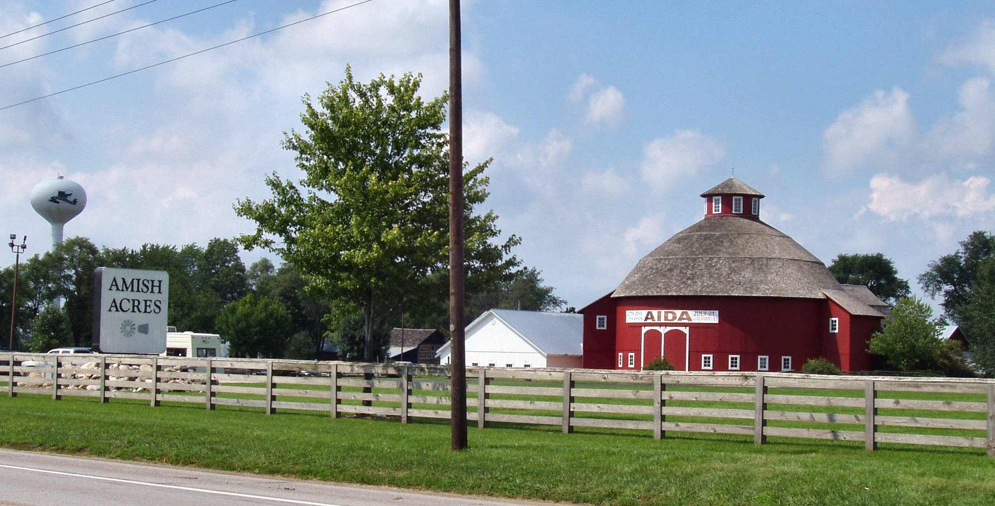
 Die „Amish Acres“
In der Stadt leben viele Amische. Für Touristen wurde ein Park „Amish Acres“ eingerichtet, so dass sie die Lebensweise der Amischen erfahren können. Dort finden zwei regelmäßige Festivals statt: The Arts & Crafts Festival (Kunst und Handwerk der Amischen) und das Apfel-Fest.
In Nappenee befindet sich Wohnmobil-Industrie.
Personen
- David Crane, ein bekannter Videospiele-Entwickler und Programmierer, wurde 1955 in Nappanee geboren.
-

Nappanee in der Vogelperspektive
-

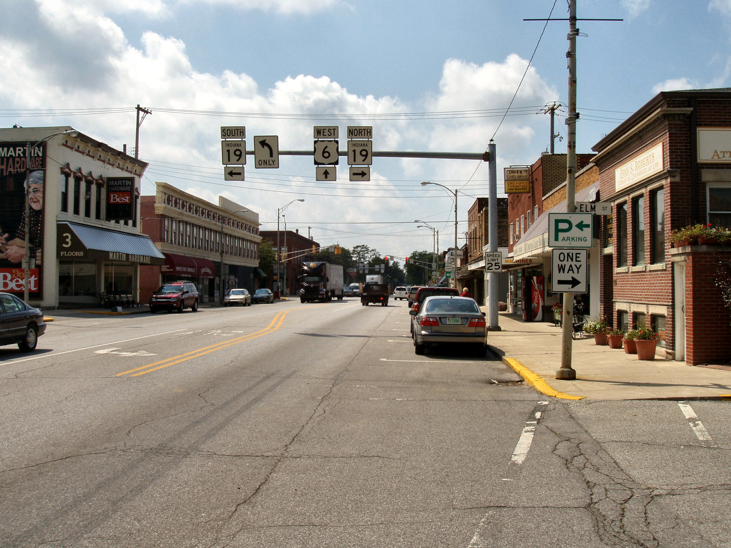
Stadtkern
Einzelnachweise
- ↑ http://www.britannica.com/EBchecked/topic/403312/Nappanee
- ↑ „American FactFinder“. United States Census Bureau. http://factfinder.census.gov. Abgerufen 31. Januar 2008.
Kategorie:- Ort in Indiana


Wikimedia Foundation.