Shaver Lake — Shaver Lake, CA U.S. Census Designated Place in California Population (2000): 705 Housing Units (2000): 1845 Land area (2000): 32.337271 sq. miles (83.753143 sq. km) Water area (2000): 2.334029 sq. miles (6.045108 sq. km) Total area (2000):… … StarDict's U.S. Gazetteer Places
Shaver Lake, CA — U.S. Census Designated Place in California Population (2000): 705 Housing Units (2000): 1845 Land area (2000): 32.337271 sq. miles (83.753143 sq. km) Water area (2000): 2.334029 sq. miles (6.045108 sq. km) Total area (2000): 34.671300 sq. miles… … StarDict's U.S. Gazetteer Places
Shaver Lake — Infobox lake lake name = Shaver Lake image lake = Shaver Lake 1.jpg caption lake = image bathymetry = caption bathymetry = location = Fresno County, California coords = type = reservoir inflow = Stevenson Creek outflow = Stevenson Creek, Big… … Wikipedia
Shaver Lake (California) — Shaver Lake Lugar designado por el censo de los Estados Unidos … Wikipedia Español
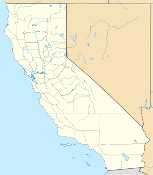
Shaver Lake, California — This article is about the unincorporated community. For the lake itself, see Shaver Lake. For the nearby place, see Shaver Lake Heights, California. Shaver Lake Census designated place … Wikipedia
Shaver Lake Railroad — Infobox SG rail railroad name=Shaver Lake Railroad logo filename= logo size= old gauge= marks= locale=Shaver, California (today known as Shaver Lake) start year=1907 end year=1919 hq city=The Shaver Lake Railroad was a standard gauge logging… … Wikipedia
Shaver Falls (Hamilton, Ontario) — Infobox Waterfall name = Shaver Falls image size = caption = Shaver Falls location = Hamilton, Ontario latitude = longitude = coordinates = elevation = type = Complex Ribbon Cascade height = convert|11|m|ft|abbr=on width =… … Wikipedia
Huntington Lake — Infobox lake lake name = Huntington Lake image lake = caption lake = image bathymetry = caption bathymetry = location = Fresno County, California coords = coord|37|14|9.96|N|119|10|44.4|W|type:waterbody region:US CA|display=inline,title type =… … Wikipedia
Upper Shaver Falls (Hamilton, Ontario) — Infobox Waterfall name = Upper Shaver Falls image size = caption = Upper Shaver Falls location = Hamilton, Ontario latitude = longitude = coordinates = elevation = type = Curtain Cascade height = convert|3|m|ft|abbr=on width =… … Wikipedia
Sand Lake, New York — Infobox Settlement official name = Sand Lake, New York settlement type = Town nickname = motto = imagesize = image caption = image |pushpin pushpin label position = pushpin map caption =Location within the state of New York pushpin mapsize =… … Wikipedia