- Tapiramuta
-
-11.842819444444-40.794811111111820Koordinaten: 11° 51′ S, 40° 48′ W
Tapiramutá 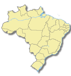

Tapiramutá Basisdaten Staat Brasilien Bundesstaat Bahia Einwohner 19.519 (Ber. 2006) Stadtinsignien 

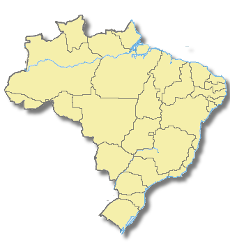
Detaildaten Fläche 663,870 Bevölkerungsdichte 29,4 Ew./km² Höhe 820 m ü.d.M. Zeitzone UTC-3 Stadtvorsitz Antonio Carlos Fonseca Gomes Website Tapiramutá ist eine Stadt im brasilianischen Bundesstaat Bahia in der Region Itaberaba mit rund 20000 Einwohnern. Tapiramutá liegt ca. 15 km südlich der Bundesstraße BA-052, auf halbem Wege zwischen Feira de Santana und Xique-Xique.
Das Gebiet war ursprünglich von den Paiaiá Indianern bewohnt. Die ersten festen Gebäude gehen auf das Jahr 1901 zurück. Der Name Tapiramuta stammt aus der Indianersprache Tupi und bedeutet dem Tapir auflauern.
Haupterwerbszweig ist die Landwirtschaft insbesondere der Anbau von Kaffee.
Wikimedia Foundation.