- Barnes Railway Bridge
-
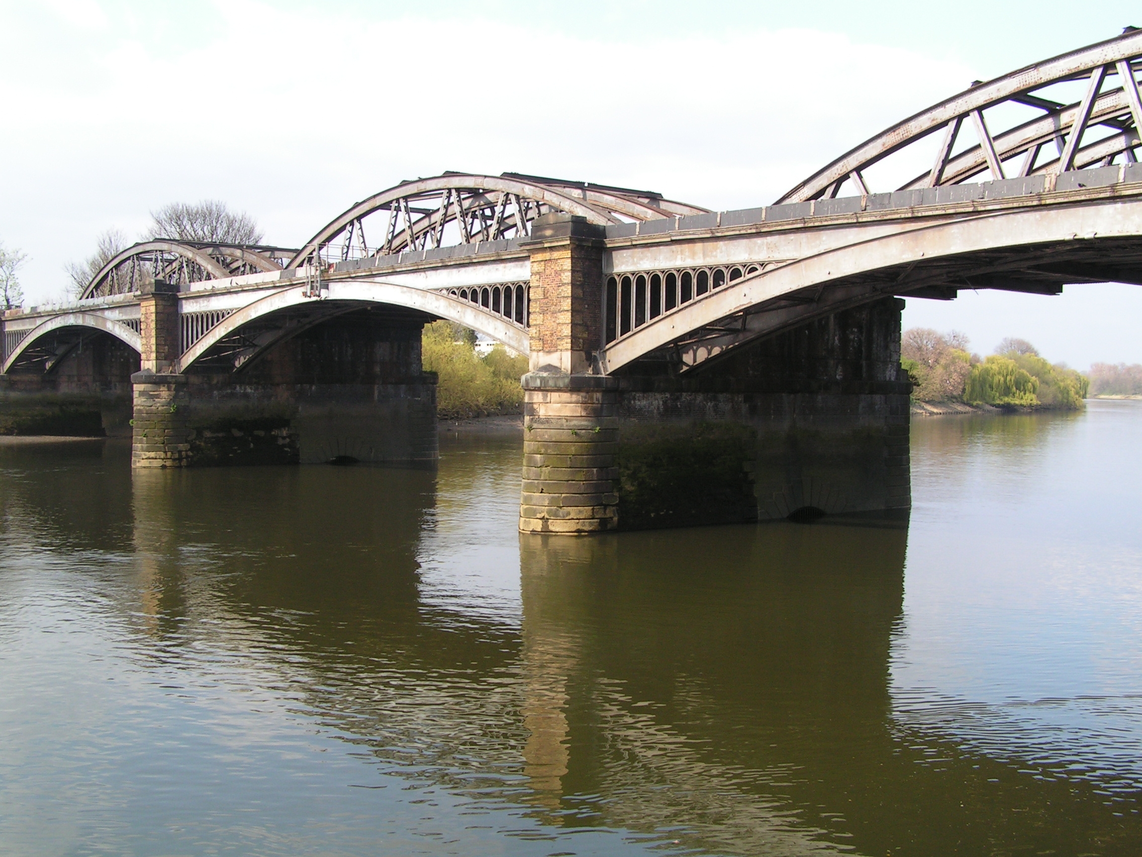
 Barnes Railway Bridge
Die Barnes Railway Bridge ist eine Eisenbahnbrücke über den Fluss Themse in London. Sie liegt an der von South West Trains betriebenen Vororteisenbahnlinie von Waterloo über Brentford nach Feltham, zwischen den Bahnhöfen Barnes Bridge und Chiswick. Parallel zur Brücke verläuft ein Fußgängersteg.
Eröffnet wurde die von Joseph Locke entworfene und aus Gusseisen bestehende Brücke im Jahr 1849 durch die London and South Western Railway. Wegen der stetigen Zunahme des Verkehrs musste die Brücke zwischen 1891 und 1895 ersetzt werden; damals entstand auch der Fußgängersteg.
Weblinks
flussaufwärts
Chiswick BridgeFlussübergänge der Themse flussabwärts
Hammersmith Bridge51.472777777778-0.25416666666666Koordinaten: 51° 28′ 22″ N, 0° 15′ 15″ WKategorien:- Brücke in London
- Bogenbrücke im Vereinigten Königreich
- Stahlbrücke
- Eisenbahnbrücke im Vereinigten Königreich
- Themsebrücke
- Grade-II-Bauwerk (London)
- Erbaut in den 1840er Jahren
- Erbaut in den 1890er Jahren
- Verkehr (London Borough of Richmond upon Thames)
- Verkehr (London Borough of Hounslow)
Wikimedia Foundation.