- Triple Divide Peak
-
Triple Divide Peak 
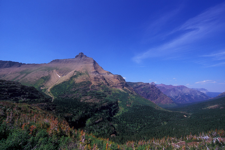
Blick vom Grat nahe dem Gipfel nach Nordost auf Mount Jackson und Amphitheater Mountain
Höhe 2.433 m Lage Montana, USA Gebirge Rocky Mountains Geographische Lage 48° 34′ 23″ N, 113° 31′ 0″ W48.573055555556-113.516666666672433Koordinaten: 48° 34′ 23″ N, 113° 31′ 0″ W 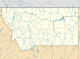

Gestein Dolomit und Kalkstein Besonderheiten Wasserscheidepunkt Der Triple Divide Peak ist ein Gipfel in den Rocky Mountains im US-Bundesstaat Montana nahe der Grenze zu Kanada. Er stellt den Wasserscheidepunkt dar, an dem sich die Einzugsgebiete des Atlantischen Ozeans über das Missouri-Mississippi-Flusssystem und den Golf von Mexiko, des Pazifischen Ozeans über den Columbia River und des Arktischen Ozeans über den Saskatchewan River und die Hudson Bay berühren. Er stellt damit den Endpunkt der traditionellen nordamerikanischen kontinentalen Wasserscheide dar und ist weltweit der einzige Punkt, an dem sich die Wasserscheiden dreier verschiedener Weltmeere treffen.
Lage und Umgebung
Der Berg liegt im Glacier-Nationalpark auf dem Hauptkamm der Rocky Mountains. Seine Form und Rolle im Wasserabflussregime verdankt er dem Zusammentreffen mehrerer Gletscher im Eiszeitalter, die auch dem Nationalpark seinen Namen gegeben haben.
Weblinks
- Eintrag zum Triple Divide Peak auf summitpost.org
- Triple Divide Peak im Geographic Names Information System des United States Geological Survey
Kategorien:- Zweitausender
- Berg in den Rocky Mountains
- Berg in Montana
- Berg in Nordamerika
- Hydrologie

Wikimedia Foundation.