- Watsontown
-

Dieser Artikel wurde aufgrund von inhaltlichen Mängeln auf der Qualitätssicherungsseite des Projektes USA eingetragen. Hilf mit, die Qualität dieses Artikels auf ein akzeptables Niveau zu bringen, und beteilige dich an der Diskussion! 
Watsontown 
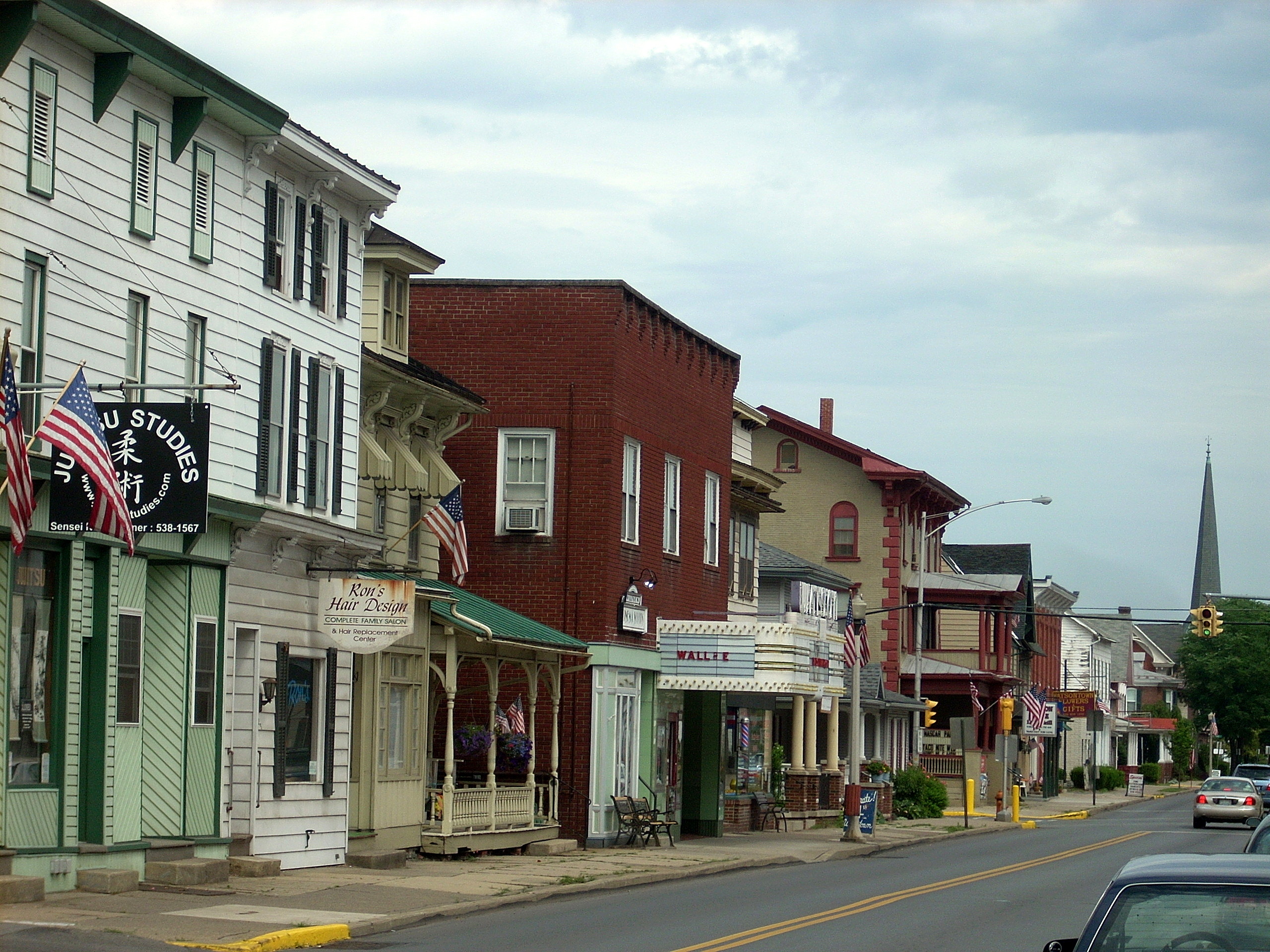
Main Street in WatsontownLage in Pennsylvania 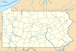

Watsontown Basisdaten Gründung: 1794 Staat: Vereinigte Staaten Bundesstaat: Pennsylvania County: Koordinaten: 41° 5′ N, 76° 52′ W41.085277777778-76.863333333333146Koordinaten: 41° 5′ N, 76° 52′ W Zeitzone: Eastern Standard Time (UTC−5) Einwohner: 2255 (Stand: 2000) Bevölkerungsdichte: 1.252,8 Einwohner je km² Fläche: 2,4 km² (ca. 1 mi²)
davon 1,8 km² (ca. 1 mi²) LandHöhe: 146 m Postleitzahl: 17777 Vorwahl: +1 570 FIPS: 42-81616 GNIS-ID: 1214021 Webpräsenz: www.watsontownpa.com Watsontown ist eine US-amerikanische Gemeinde in Pennsylvania im Northumberland County. Sie hat etwa 2300 Einwohner (Stand: Volkszählung 2000) auf einer Fläche von 2,4 km².
Kategorie:- Ort in Pennsylvania


Wikimedia Foundation.