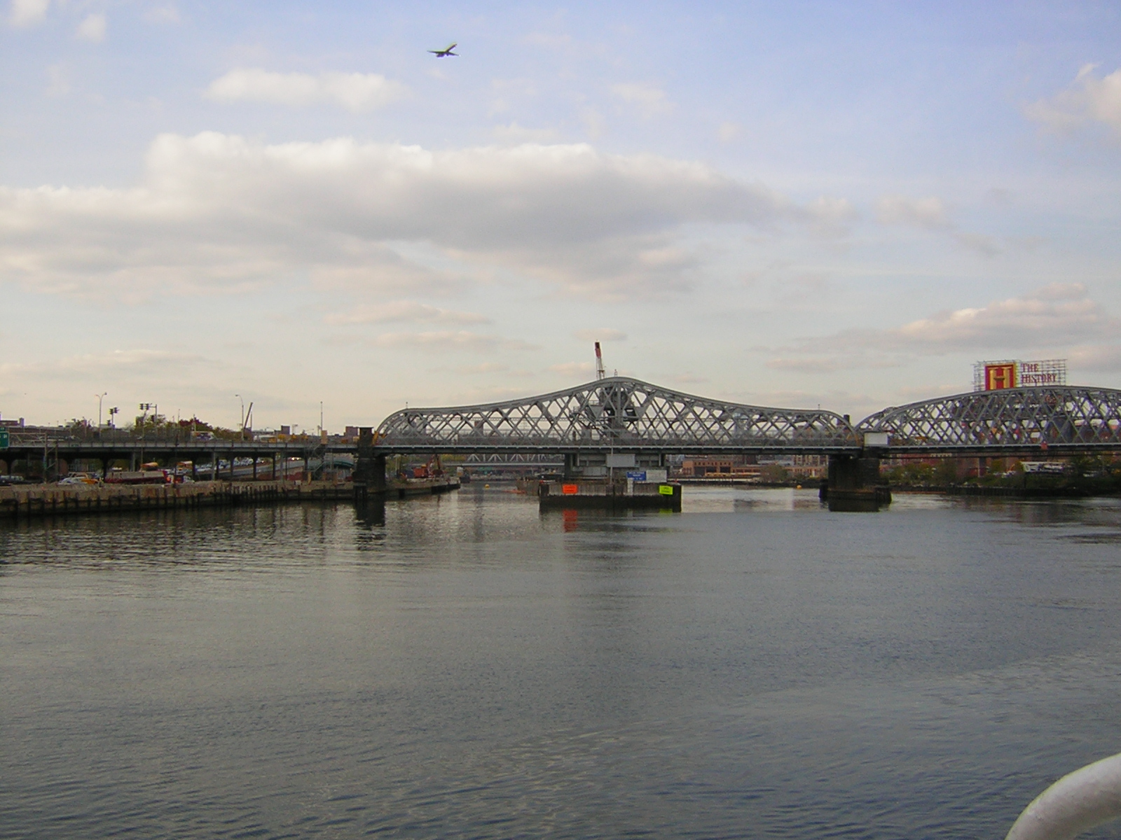
- Willis Avenue Bridge
-
40.803764-73.929319Koordinaten: 40° 48′ 13,6″ N, 73° 55′ 45,5″ W
Willis Avenue Bridge Willis Avenue Bridge
Nutzung Straßenbrücke Querung von Harlem River Ort New York City Freigabe 22. August 1901 Lage 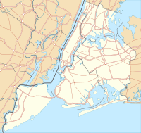

Die Willis Avenue Bridge ist eine Brücke in New York City für den Verkehr von Manhattan nach Bronx über den Harlem River. Die Brücke ist von Norden nach Süden ausgerichtet und ist eine Einbahnstraße, das heißt, nur der Verkehr Richtung Norden kann sie passieren.
Eröffnet wurde die Brücke am 22. August 1901 und ist damit eine der ältesten Brücken der Stadt. Ihre Baukosten betrugen 2.444.511 US-Dollar. 1916 wurde sie verstärkt, um die Belastungen der neu eingerichteten Straßenbahn der Union Railway Company standhalten zu können.
Täglich benutzen etwa 75.000 Fahrzeuge die Brücke. 2006 bot die Stadt die Brücke zum Verkauf, da die jährlichen Betriebskosten von 1,1 Millionen Dollar zu hoch waren und der Bau einer neueren Brücke bereits in Planung war.
Weblinks
Kategorien:- Straßenbrücke in den Vereinigten Staaten
- Fachwerkbrücke
- Stahlbrücke
- Brücke in Bronx
- Brücke in Manhattan
- Erbaut in den 1900er Jahren

Wikimedia Foundation.