- Yellowhead Pass
-
Yellowhead Pass 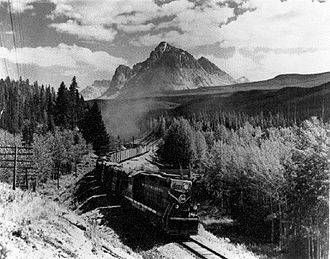
Bahnstrecke über den Yellowhead Pass
West Ost Passhöhe 1.110 m Provinz British Columbia (Kanada) Alberta Ausbau Yellowhead Highway, Canadian National Railway Gebirge Kanadische Rocky Mountains Karte 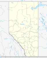

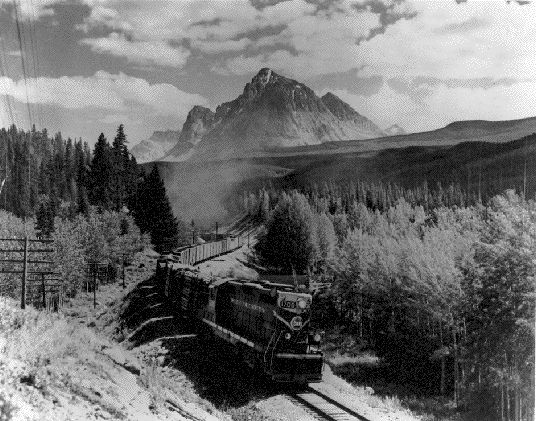
Koordinaten 52° 53′ 0″ N, 118° 28′ 0″ W52.883333333333-118.466666666671110Koordinaten: 52° 53′ 0″ N, 118° 28′ 0″ W Der Yellowhead Pass ist ein Pass in den Rocky Mountains. Er liegt an der Grenze zwischen Alberta und British Columbia im Jasper-Nationalpark und Mount-Robson-Provinzpark. Da sein Anstieg gering und gleichmäßig auf eine lange Strecke verteilt ist, benutzten ihn Anfang des 20. Jahrhunderts die Grand Trunk Pacific Railway für ihre Strecke über die Rocky Mountains. Die Strecke wird heute von der Canadian National Railway betrieben. Über den Pass führt auch der Yellowhead Highway. Namensgeber für den Pass war der Métis-Trapper Tête Jaune (englisch Yellowhead).
Weblinks
Kategorien:- Gebirgspass
- Pass in Kanada
- Geographie (British Columbia)
- National Historic Site of Canada (British Columbia)
- National Historic Site of Canada (Alberta)
- Pass in den Rocky Mountains

Wikimedia Foundation.