Broad Ripple

Broad Ripple
Broad Ripple
Broad Ripple (Indiana)
Broad Ripple
Broad Ripple
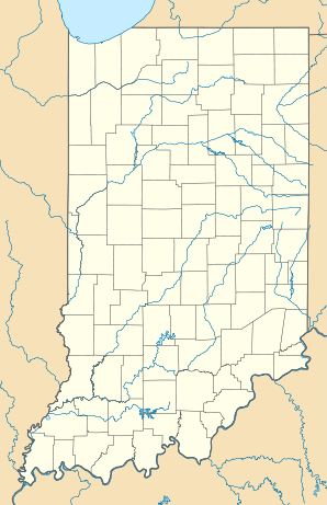
Lage in Indiana
Basisdaten
Staat: Vereinigte Staaten
Bundesstaat: Indiana
County:

Marion County

Koordinaten: 39° 52′ N, 86° 9′ W39.866666666667-86.141666666667Koordinaten: 39° 52′ N, 86° 9′ W
Zeitzone: Eastern Standard Time (UTC−5)
Einwohner: 17.041 (Stand: 2000)
Bevölkerungsdichte: 77,1 Einwohner je km²
Fläche: 221 km² (ca. 85 mi²)
Postleitzahl: 46260
GNIS-ID: 0449481

Broad Ripple ist ein Stadtteil im Norden von Indianapolis.

Im 18. Jahrhundert war Broad Ripple ein eigenständiger Ort, der dann jedoch 1922 in Indianapolis eingegliedert wurde. Broad Ripple hat bis heute seinen Charakter als eigener Ort behalten und ist daher auch einer der beliebtesten Ausgangspunkte in Indianapolis. Die Bars, Restaurants und Boutiquen sind vor allem an Wochenenden gut besucht.

In Broad Ripple befindet sich die Broad Ripple High School.

Weblinks


Wikimedia Foundation.

Игры ⚽ Поможем написать курсовую

Schlagen Sie auch in anderen Wörterbüchern nach:

  • Broad Ripple — Original name in latin Broad Ripple Name in other language State code US Continent/City America/Indiana/Indianapolis longitude 39.86671 latitude 86.14165 altitude 222 Population 17041 Date 2013 05 05 …   Cities with a population over 1000 database

  • Broad Ripple High School — Broad Ripple High School, established in 1886, is one of five traditional high schools within the Indianapolis Public Schools. HistoryOriginally built in 1886 in the town of Broad Ripple, the school started with seven students. The campus was… …   Wikipedia

  • Broad Ripple Village, Indianapolis — Infobox Settlement official name = Broad Ripple, Indiana settlement type = Town nickname = motto = We re Open If You Are imagesize = 150px image caption = Broad Ripple Village logo image mapsize = map caption = mapsize1 = map caption1 =… …   Wikipedia

  • Broad Ripple Park Carousel — Infobox nrhp | name =Broad Ripple Park Carousel nrhp type = nhl caption = location= Meridian and Thirtieth Sts., Indianapolis, Indiana, USA lat degrees = 39 lat minutes = 48 lat seconds = 38.9 lat direction = N long degrees = 86 long minutes = 9… …   Wikipedia

  • Broad Ripple High School — Die Broad Ripple High School, gegründet 1886, ist eine Highschool in Indianapolis im Bezirk der Indianapolis Public Schools. Die Schule hat rund 1.500 Schüler, welche mehrheitlich afro amerikanischer Herkunft sind. Das Maskottchen der Schule ist… …   Deutsch Wikipedia

  • Broad Ripple Brewpub — The Broad Ripple Brewpub is the first brewpub in Indiana to be established after prohibition. It is located in in the Broad Ripple district of Indianapolis. Awards Great American Beer Festival1991: Gold ESB Traditional Bitter.Indiana State Fair:… …   Wikipedia

  • Carrousel du Broad Ripple Park — Le carrousel restauré dans le The Children s Museum of Indianapolis Localisation Parc : The Children’s Museum of Indianapolis Lieu&# …   Wikipédia en Français

  • Карусель Детского музея Индианаполиса — Координаты: 39°48′39″ с. ш. 86°09′25.5″ з. д. / 39.810833° с. ш. 86.157083° з. д.  …   Википедия

  • National Register of Historic Places listings in Center Township, Marion County, Indiana — Location of Center Township in Marion County This is a list of the National Register of Historic Places listings in Center Township, Marion County, Indiana. This is intended to be a complete list of the properties and districts on the National… …   Wikipedia

  • The Children's Museum of Indianapolis — Established 1925 (1925) Location 3000 N. Meridian St., Indianapolis, Indiana, 46208 4716 Type …   Wikipedia

Share the article and excerpts

Direct link
Do a right-click on the link above
and select “Copy Link”