- Marion County (Indiana)
-
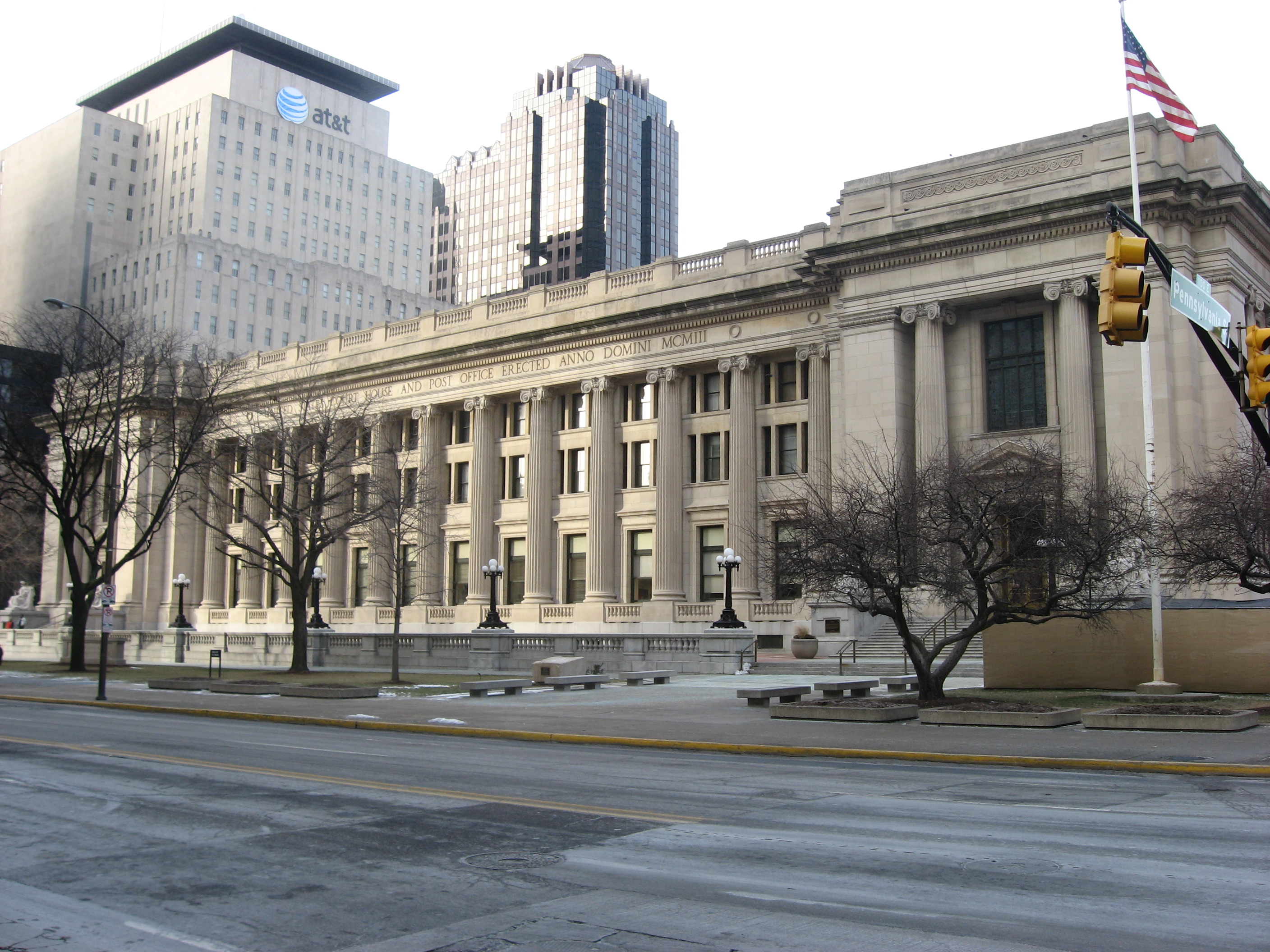
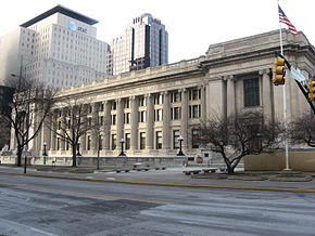 Marion County Courthouse mit Postbüro in Indianapolis
Verwaltung US-Bundesstaat: Indiana Verwaltungssitz: Indianapolis Gründung: 1822 Demographie Einwohner: 860.454 (2000) Bevölkerungsdichte: 838,6 Einwohner/km² Geographie Fläche gesamt: 1.044 km² Wasserfläche: 18 km² Karte 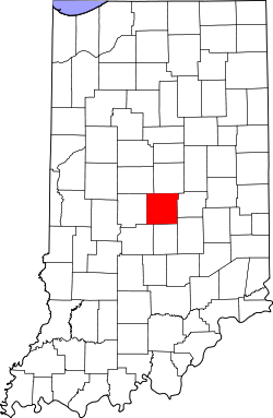
Marion County[1] ist ein County im US-Bundesstaat Indiana der Vereinigten Staaten von Amerika. Der Hauptort Indianapolis, nimmt den größten Teil der Fläche des Countys ein. Marion County hat eine Bevölkerung von 860.454.
Inhaltsverzeichnis
Geschichte
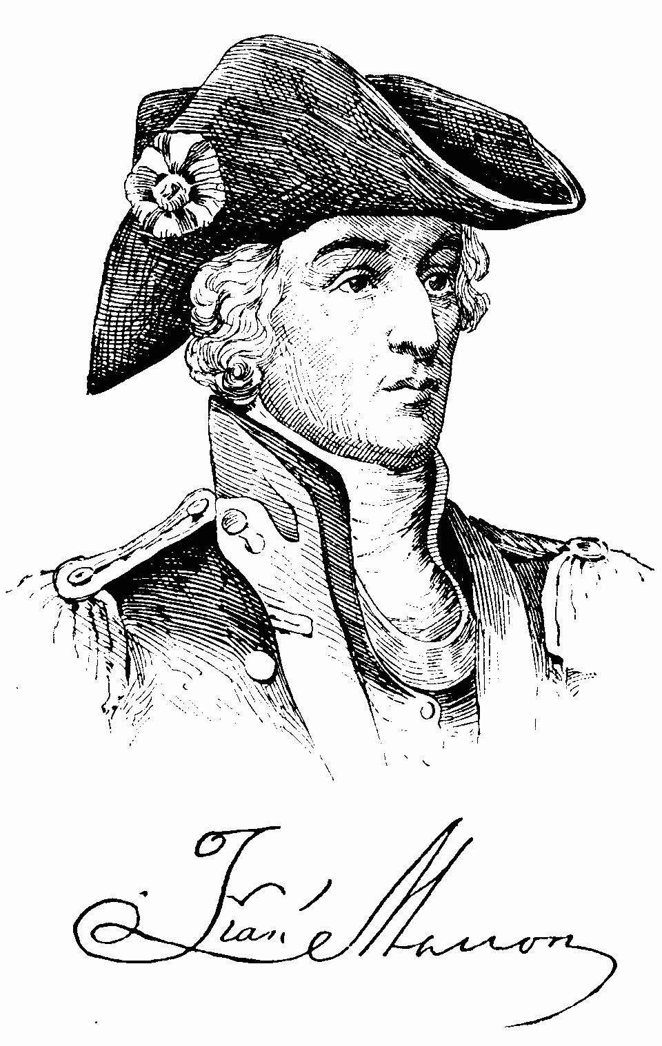
 Francis Marion
Marion County wurde in 1822 gegründet und ist nach Francis Marion, einem General aus dem amerikanischen Unabhängigkeitskrieg, benannt.
Die meisten Orte im County sind inzwischen in die Stadt Indianapolis eingegliedert worden. Eigene Orte sind heute noch: Speedway, Southport, Beech Grove und Lawrence.
Historische Objekte
- In Indianapolis steht die historische Ralph Waldo Emerson Indianapolis Public School #58. Das Schulgebäude steht an der North Linwood Street auf Nummer 321, und wurde am 6. Dezember 2004 vom National Register of Historic Places als historisches Denkmal mit der Nummer 04001309 aufgenommen.
- Auf der Shelbyville Road auf Nummer 6551, in Indianapolis befindet sich das historische Anderson Thompson House.
- Die Lockefield Gardens finden sich an der Indiana Avenue (NRHP-ID 83000133).[2]
Demografie
Historische Einwohnerzahlen Census Einwohner ± in % 1830 7192 — 1840 16.080 100 % 1850 24.103 50 % 1860 39.855 70 % 1870 71.939 80 % 1880 102.782 40 % 1890 141.156 40 % 1900 197.227 40 % 1910 263.661 30 % 1920 348.061 30 % 1930 422.666 20 % 1940 460.926 9 % 1950 551.777 20 % 1960 697.567 30 % 1970 792.299 10 % 1980 765.233 -3 % 1990 797.159 4 % 2000 860.454 8 % 2010 903.393 5 % Vor 1900[3] 1900–1990[4]
Nach der Volkszählung im Jahr 2000 lebten im Marion County 860.454 Einwohner; es wurden 352.164 Haushalte und 213.411 Familien registriert. Ethnisch betrachtet setzte sich die Bevölkerung zusammen aus 70,49 Prozent Weißen, 24,17 Prozent Afroamerikanern, 0,25 amerikanischen Ureinwohnern, 1,43 Prozent Asiaten, 0,04 Prozent Bewohnern aus dem pazifischen Inselraum und 1,98 Prozent aus anderen ethnischen Gruppen; 1,64 Prozent stammten von zwei oder mehr Ethnien ab. 3,87 Prozent der Bevölkerung waren spanischer oder lateinamerikanischer Abstammung. [5]
Einzelnachweise
- ↑ GNIS-ID: 450371. Abgerufen am 22. Februar 2011 (englisch).
- ↑ NRIS
- ↑ U.S. Census Bureau - Census of Population and Housing. Abgerufen am 15. März 2011
- ↑ Auszug aus Census.gov. Abgerufen am 16. Februar 2011
- ↑ Marion County, Indiana, Datenblatt mit den Ergebnissen der Volkszählung im Jahre 2000 bei factfinder.census.gov.
Weblinks
-
 Commons: Marion County, Indiana – Sammlung von Bildern, Videos und Audiodateien
 Orte in der Indianapolis Metropolitan Area
Städte mit über 20.000 Einwohnern:
Carmel | Fishers | Greenwood | Lawrence | Noblesville | Plainfield | WestfieldStädte mit weniger als 20.000 Einwohnern:
Arcadia | Avon | Bargersville | Beech Grove | Brooklyn | Brownsburg | Cicero | Clermont | Cloverdale | Cumberland | Danville | Edinburgh | Fairland | Fortville | Franklin | Greencastle | Greenfield | Lebanon | Martinsville | McCordsville | Mooresville | Morristown | New Palestine | New Whiteland | Pittsboro | Princes Lakes | Shelbyville | Sheridan | Speedway | Southport | St. Paul | Thorntown | Whiteland | ZionsvilleCountys:
Boone | Brown | Hamilton | Hancock | Hendricks | Johnson | Marion | Morgan | Putnam | Shelby
Wikimedia Foundation.
Schlagen Sie auch in anderen Wörterbüchern nach:
Marion County, Indiana — For counties with a similar name, see Marion County (disambiguation). Marion County, Indiana Indianapolis City County Building … Wikipedia
National Register of Historic Places listings in Center Township, Marion County, Indiana — Location of Center Township in Marion County This is a list of the National Register of Historic Places listings in Center Township, Marion County, Indiana. This is intended to be a complete list of the properties and districts on the National… … Wikipedia
National Register of Historic Places listings in Marion County, Indiana — Location of Marion County in Indiana This is a list of the National Register of Historic Places listings in Marion County, Indiana. This is intended to be a complete list of the properties and districts on the National Register of Historic Places … Wikipedia
Decatur Township, Marion County, Indiana — Decatur Township Marion County Township Map of Marion County with Decatur … Wikipedia
List of Registered Historic Places in Marion County, Indiana — List of Registered Historic Places in Marion County, Indiana: Main article: List of Registered Historic Places in Indiana :: This National Park Service list is complete through [http://www.nps.gov/history/nr/nrlist.htm NPS recent listings] posted … Wikipedia
Washington Township, Marion County, Indiana — Infobox Settlement official name = Washington, Indiana settlement type = Township nickname = motto = imagesize = image caption = image mapsize = map caption = mapsize1 = map caption1 = subdivision type = Country subdivision name = United States… … Wikipedia
Franklin Township, Marion County, Indiana — Infobox Settlement official name = Franklin Township settlement type = Township nickname = motto = imagesize = image caption = image mapsize = map caption = mapsize1 = map caption1 = subdivision type = Country subdivision name = United States… … Wikipedia
Center Township, Marion County, Indiana — Infobox Settlement official name = Center Township settlement type = Township nickname = motto = imagesize = image caption = image mapsize = map caption = mapsize1 = map caption1 = subdivision type = Country subdivision name = United States… … Wikipedia
Lawrence Township, Marion County, Indiana — Infobox Settlement official name = Lawrence Township settlement type = Township nickname = motto = imagesize = image caption = image mapsize = map caption = mapsize1 = map caption1 = subdivision type = Country subdivision name = United States… … Wikipedia
Wayne Township, Marion County, Indiana — Infobox Settlement official name = Wayne Township settlement type = Township nickname = motto = imagesize = image caption = image mapsize = map caption = mapsize1 = map caption1 = subdivision type = Country subdivision name = United States… … Wikipedia
Marion County (Indiana)

18+
© Academic, 2000-2025
- Kontaktieren Sie uns: Unterstützung, Werbung
Wörterbücher Export, schritte mit PHP, Joomla, Drupal, WordPress, MODx.