Big Hole River

Big Hole River
Big Hole River
Der Big Hole River

Der Big Hole RiverVorlage:Infobox Fluss/KARTE_fehlt

Daten
Gewässerkennzahl US779824
Lage Montana (USA)
Flusssystem MississippiVorlage:Infobox Fluss/FLUSSSYSTEM_falsch
Abfluss über Jefferson River → Missouri → Mississippi → Golf von Mexiko
Quelle im Skinner Lake
45° 10′ 27″ N, 113° 30′ 45″ W45.174238888889-113.512427777782245
Quellhöhe 2.245 mVorlage:Infobox Fluss/HÖHENBEZUG-QUELLE_fehlt[1]
Zusammenfluss mit dem Beaverhead River zum Jefferson
45.561266666667-112.338191666671405

45° 33′ 41″ N, 112° 20′ 17″ W45.561266666667-112.338191666671405
Mündungshöhe 1.405 mVorlage:Infobox Fluss/HÖHENBEZUG-MÜNDUNG fehlt[1]
Höhenunterschied 840 m
Länge 246 kmVorlage:Infobox Fluss/NACHWEISE_fehlenVorlage:Infobox Fluss/EINZUGSGEBIET_fehlt

Vorlage:Infobox Fluss/ABFLUSS_fehlt

Der Big Hole River ist der linke Quellfluss des Jeffersons, einem Quellfluss des Missouris, im Bundesstaat Montana der Vereinigten Staaten.

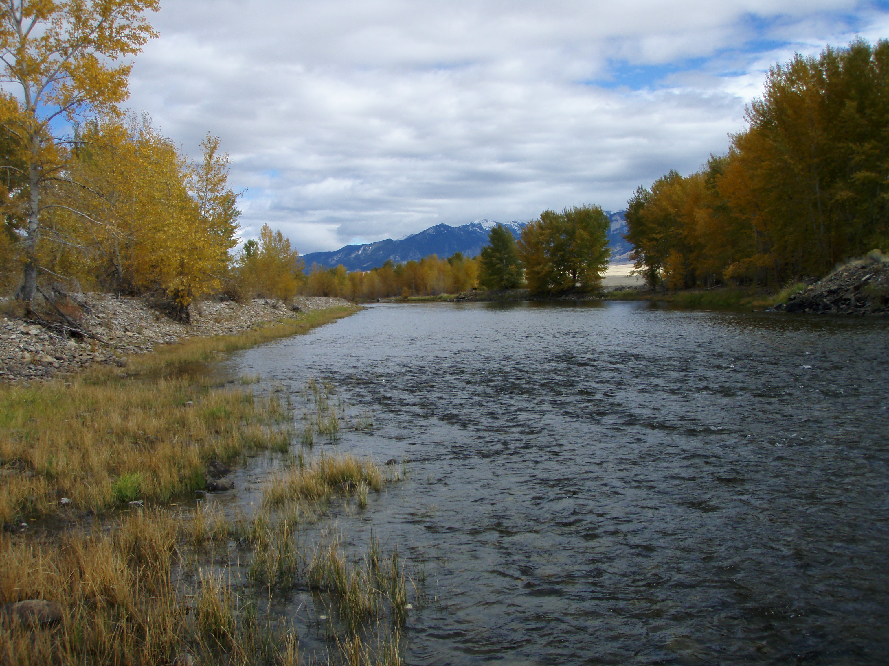
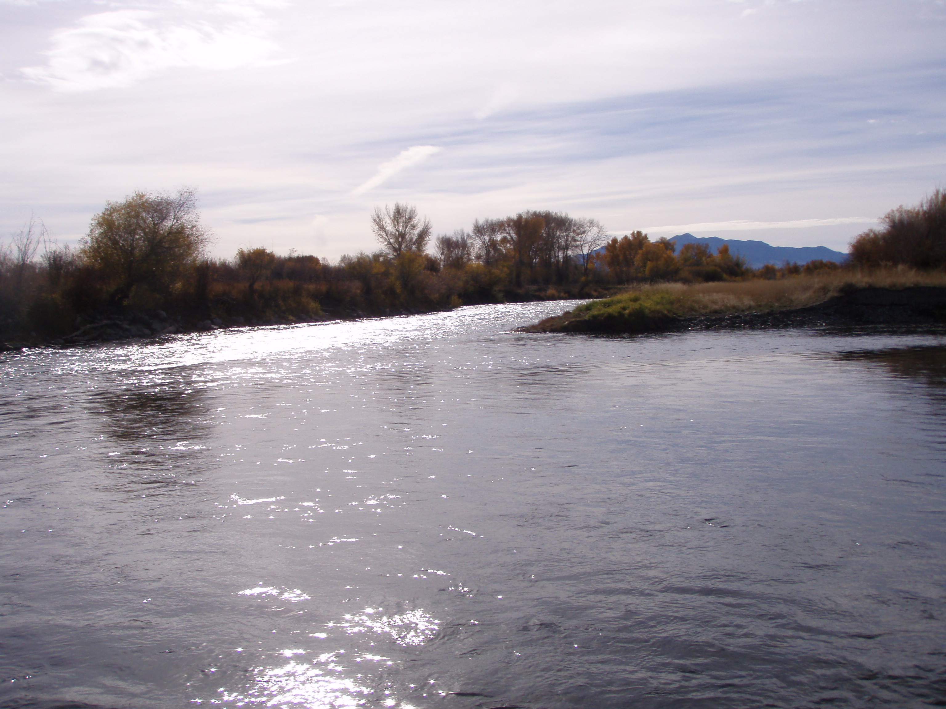
Er entspringt im Skinner Lake östlich der Grenze zu Idaho auf 2.245 m. Der Big Hole River fließt in nordöstliche Richtung und knickt am Laphan Mountain (2386 m) nach Norden ab. Vorbei an Jackson und Wisdom durchfließt er das Big Hole Valley. Ab Melrose verläuft der Big Hole River teilweise parallel zur Interstate 15. Etwas nördlich von Twin Bridges vereinigt er sich mit dem Beaverhead River zum Jefferson.

Weblinks

 Commons: Big Hole River – Sammlung von Bildern, Videos und Audiodateien

Einzelnachweise

  1. a b Google Earth
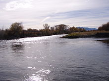
Zusammenfluss von Beaverhead River (hinten) und Big Hole River (rechts)

Wikimedia Foundation.

Игры ⚽ Нужен реферат?

Schlagen Sie auch in anderen Wörterbüchern nach:

  • Big Hole River — The Big Hole River is a tributary of the Jefferson River, approximately 153 miles (246 km) long, in southwestern Montana in the United States. It rises in Skinner lake in the Beaverhead National Forest in the Beaverhead Mountains of the… …   Wikipedia

  • Big Hole Tract 8 (moitié nord) — Administration Pays  Canada Province …   Wikipédia en Français

  • Big Hole Tract 8 (moitié sud) — Administration Pays  Canada Province …   Wikipédia en Français

  • Big Hole Tract 8 — Ajouter une image Administration Pays  Canada …   Wikipédia en Français

  • Battle of the Big Hole — Infobox Military Conflict conflict=Battle of the Big Hole colour scheme=background:#cccccc caption= Big Hole Battlegrounds, 2003 partof=the Nez Perce War date=9 August, 1877 place=Beaverhead County, Montana result=U.S. strategic victory… …   Wikipedia

  • Hole (band) — Hole The current line up performing live in March 2010. Background information Origin Los Angeles, California, United States …   Wikipedia

  • Big Falls, Minnesota — Infobox Settlement official name = Big Falls, Minnesota settlement type = City nickname = motto = imagesize = image caption = image imagesize = image caption = image mapsize = 250px map caption = Location of Big Falls, Minnesota mapsize1 = map… …   Wikipedia

  • Missouri River — Der Missouri und seine Nebenflüsse Daten …   Deutsch Wikipedia

  • Jefferson River — The Jefferson River is a tributary of the Missouri River, approximately convert|77|mi|km|0|lk=on long, in the U.S. state of Montana. The Jefferson River and the Madison River form the official beginning of the Missouri at Missouri Headwaters… …   Wikipedia

  • Jefferson River — Jefferson Beaverhead Red Rock RiverVorlage:Infobox Fluss/KARTE fehlt Daten …   Deutsch Wikipedia

Share the article and excerpts

Direct link
Do a right-click on the link above
and select “Copy Link”