- Brough (East Riding of Yorkshire)
-
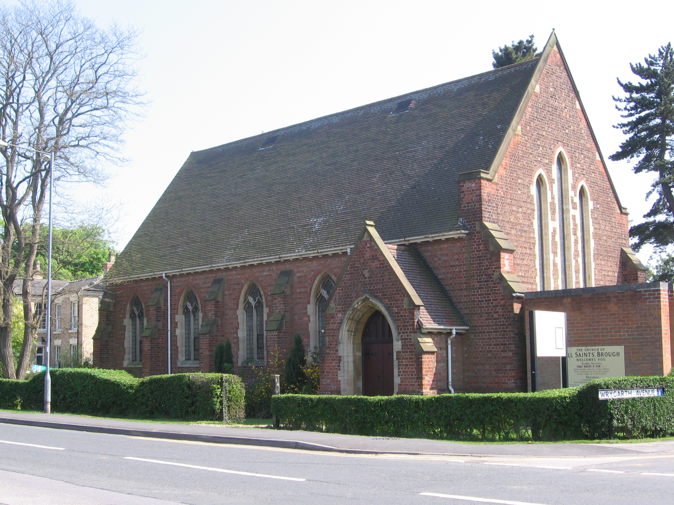
Brough All Saints Church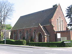
Koordinaten 53° 44′ N, 0° 34′ W53.728107-0.573229Koordinaten: 53° 44′ N, 0° 34′ W 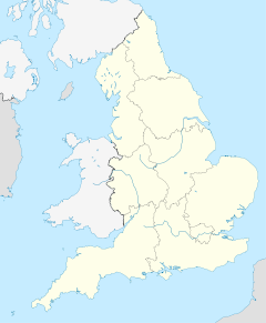

Brough Bevölkerung 7.000 (Stand: 2001) Verwaltung Post town BROUGH Postleitzahlenabschnitt HU15 Vorwahl 01482 Landesteil England Region Yorkshire and the Humber Shire county East Riding of Yorkshire District East Riding of Yorkshire Britisches Parlament Haltemprice and Howden Brough [brʌf] ist eine Kleinstadt in der englischen Unitary Authority East Riding of Yorkshire. Gemäß Volkszählung besaß Brough im Jahre 2001 insgesamt 7.000 Einwohner.
Inhaltsverzeichnis
Geografie
Brough befindet sich etwa 15 km westlich von Kingston upon Hull am Nordufer des Humberästuars.
Wirtschaft und Infrastruktur
Verkehr
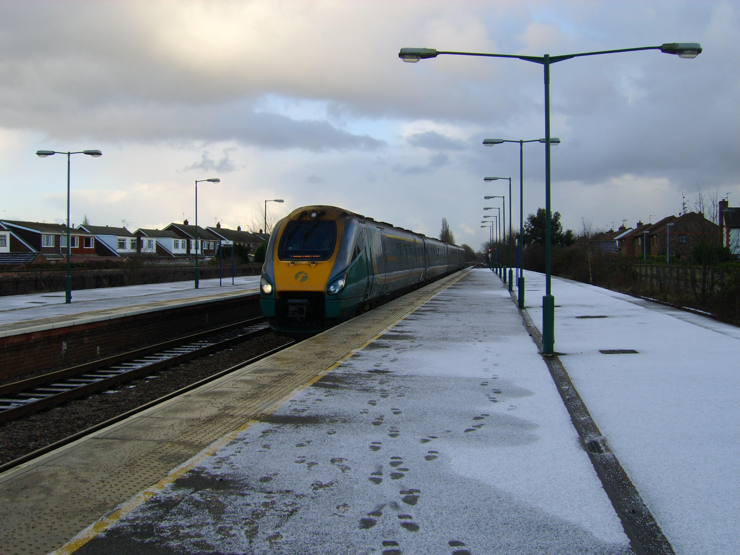
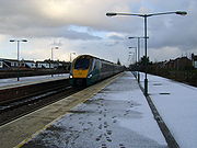 Bahnhof Brough
Nördlich führt die A-Straße A63 an der Stadt vorbei und setzt sich etwa 8 km weiter westlich als M62 in Richtung Manchester und Liverpool fort, einer wichtigen Ost-West-Achse in Großbritannien.
Brough befindet sich an der Bahnlinie von Hull nach Selby und York bzw. Doncaster. Direktverbindungen nach London existieren mit First Hull Trains und East Coast. First TransPennine Express bietet unter anderem Verbindungen nach Leeds, Manchester, zum Flughafen Manchester und Liverpool an. Northern Rail bedient die Strecke nach York, Leeds, Doncaster und Sheffield. Im Osten enden alle Züge am Bahnhof Hull Paragon, wo man Anschluss Richtung Scarborough über die Yorkshire Coast Line hat.
Weblinks
-
 Commons: Brough, East Riding of Yorkshire – Sammlung von Bildern, Videos und Audiodateien
Kategorie:- Ort in der East Riding of Yorkshire
-

Wikimedia Foundation.