- Canning River (Alaska)
-
Canning River 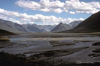
Mündung der Marsh Fork in den Canning River
Daten Gewässerkennzahl US: 1399780 Lage North Slope Borough in Alaska (USA) Flusssystem Canning River (Alaska) Abfluss über Canning River → Beaufortsee Quellgebiet Franklin Mountains, Brookskette
69° 4′ 40″ N, 145° 6′ 7″ W69.077778-145.101944Mündung Camden Bay, Beaufortsee 70.078333-145.565556Koordinaten: 70° 4′ 42″ N, 145° 33′ 56″ W
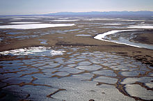
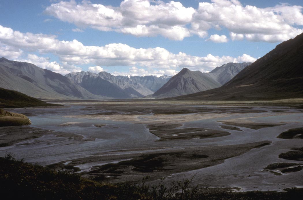
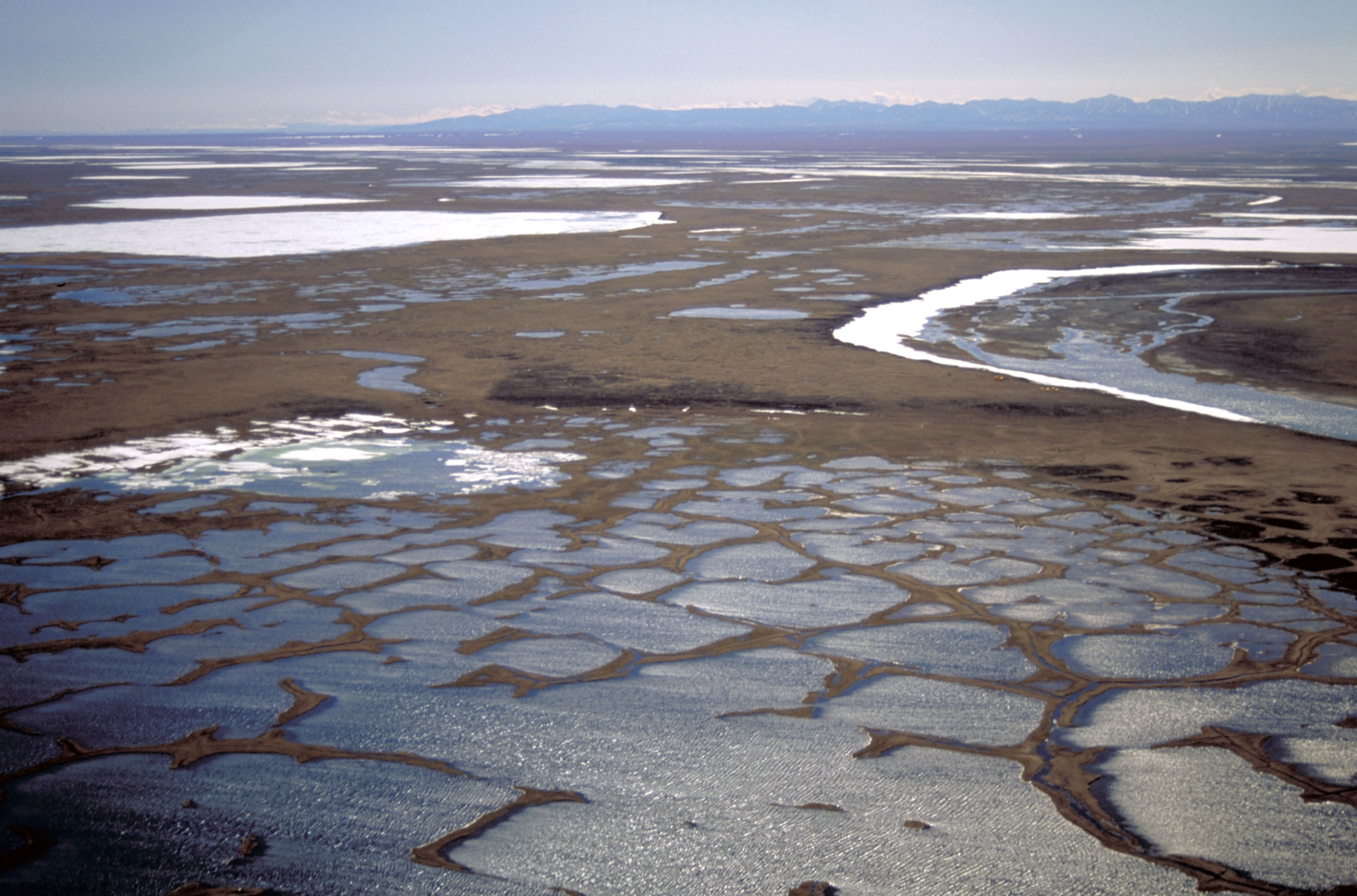
70° 4′ 42″ N, 145° 33′ 56″ W70.078333-145.565556Länge 201 km Der Canning River ist ein 201 km langer Fluss in der North Slope von Alaska. Sein Quellgebiet liegt in den Franklin Mountains, einem Gebirgszug der Brookskette. Er mündet in einem Flussdelta in der Küstenebene der North Slope in die Camden Bay der Beaufortsee.
Der Oberlauf des Canning Rivers verläuft für etwa 25 km westwärts und wendet sich dann nach Norden. Mittel- und Unterlauf bilden die westliche Grenze des Arctic National Wildlife Refuges.
Der Fluss war Bestandteil der Kontroverse um Ölbohrungen im Arctic Refuge.
Benannte wurde der Fluss 1826 nach George Canning, einem britischen Politiker. Der ursprüngliche Name der Inuit war Kogruak, was so viel wie „alter Fluss“ bedeutet.
Weblinks
 Commons: Canning River – Sammlung von Bildern, Videos und AudiodateienKategorien:
- Fluss in Alaska
- Fluss in Nordamerika
Wikimedia Foundation.