- Delatite River
-
Delatite River 
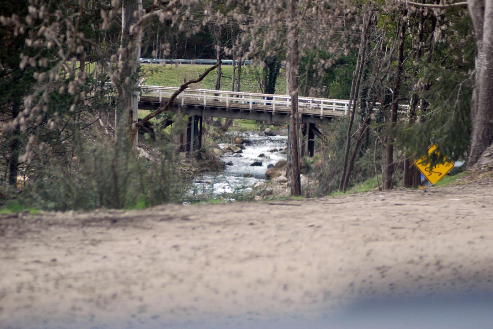
Delatite River bei Mirimbah
Daten Lage Victoria (Australien) Flusssystem Murray River Abfluss über Goulburn River (Victoria) → Murray River → Indischer Ozean Quelle Mount Buller / Mount Stirling (Alpine-Nationalpark)
37° 8′ 40″ S, 146° 29′ 43″ O-37.1443755146.4951448141490Quellhöhe 1.490 m[1] Mündung Goulburn River -37.166666666667146260Koordinaten: 37° 10′ 0″ S, 146° 0′ 0″ O
37° 10′ 0″ S, 146° 0′ 0″ O-37.166666666667146260Mündungshöhe 260 m[1] Höhenunterschied 1.230 m Länge 84,8 km[1] Rechte Nebenflüsse Plain Creek, Stony Creek, Devil Plain Creek, River Creek, Howes Creek, Ford Creek, Burnt Creek, Brankeet Creek Linke Nebenflüsse Lanky Creek Durchflossene Stauseen Lake Eildon Kleinstädte Mirimbah, Merrijig, Delatite, Piries, Goughs Bay Der Delatite River ist ein Fluss in der Mitte des australischen Bundesstaates Victoria und mündet in den Goulburn River.
Der Fluss entspringt zwischen den Wintersportorten Mount Stirling und Mount Buller am Westrand des Alpine-Nationalparks. Von der Quelle aus führt sein Lauf nach Westen durch die Kleinstädte Mirimbah, Merrijig, Delatite und Piries. Bei Goughs Bay fließt er in den Lake Eildon, einen Stausee im Verlauf des Goulburn River.
Der Fluss wurde nach Delotite, der Frau des Aborigines-Führers Beolite benannt, der dem Yowung-Illum-Baluk-Clan der Taungurung vorstand.
Einzelnachweise
Wikimedia Foundation.