- Duffey Lake Provincial Park
-
Duffey Lake Provincial Park IUCN-Kategorie II 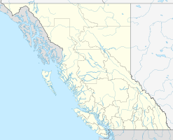

Lage: British Columbia (Kanada) Geographische Lage: 50° 24′ N, 122° 21′ W50.404166666667-122.34166666667Koordinaten: 50° 24′ 15″ N, 122° 20′ 30″ W Fläche: 40,48 km² Einrichtungsdatum: 14.06.1993 Verwaltungsbehörde: BC Parks Der Duffey Lake Provincial Park ist ein Provinzpark in der kanadischen Provinz British Columbia. Er befindet sich rund 35 km östlich von Pemberton unweit der Duffey Lake Road (Highway 99) südöstlich von D'Arcy, und wurde am 14. Juni 1993 eingerichtet. Der Park umfasst eine Fläche von 4.048 ha, die sich in einem schmalen Streifen am Südufer des Sees erstreckt, am Nordufer weiter ausgreift und im Westen bis zum 2438 m hohen Mt. Rohr reicht. Weiter im Südwesten befindet sich der mit 1.460 ha erheblich kleinere Joffre Lakes Provincial Park, im Südosten der mit 107.200 ha über 25 mal so große Stein Valley Nlaka'pamux Heritage Park.
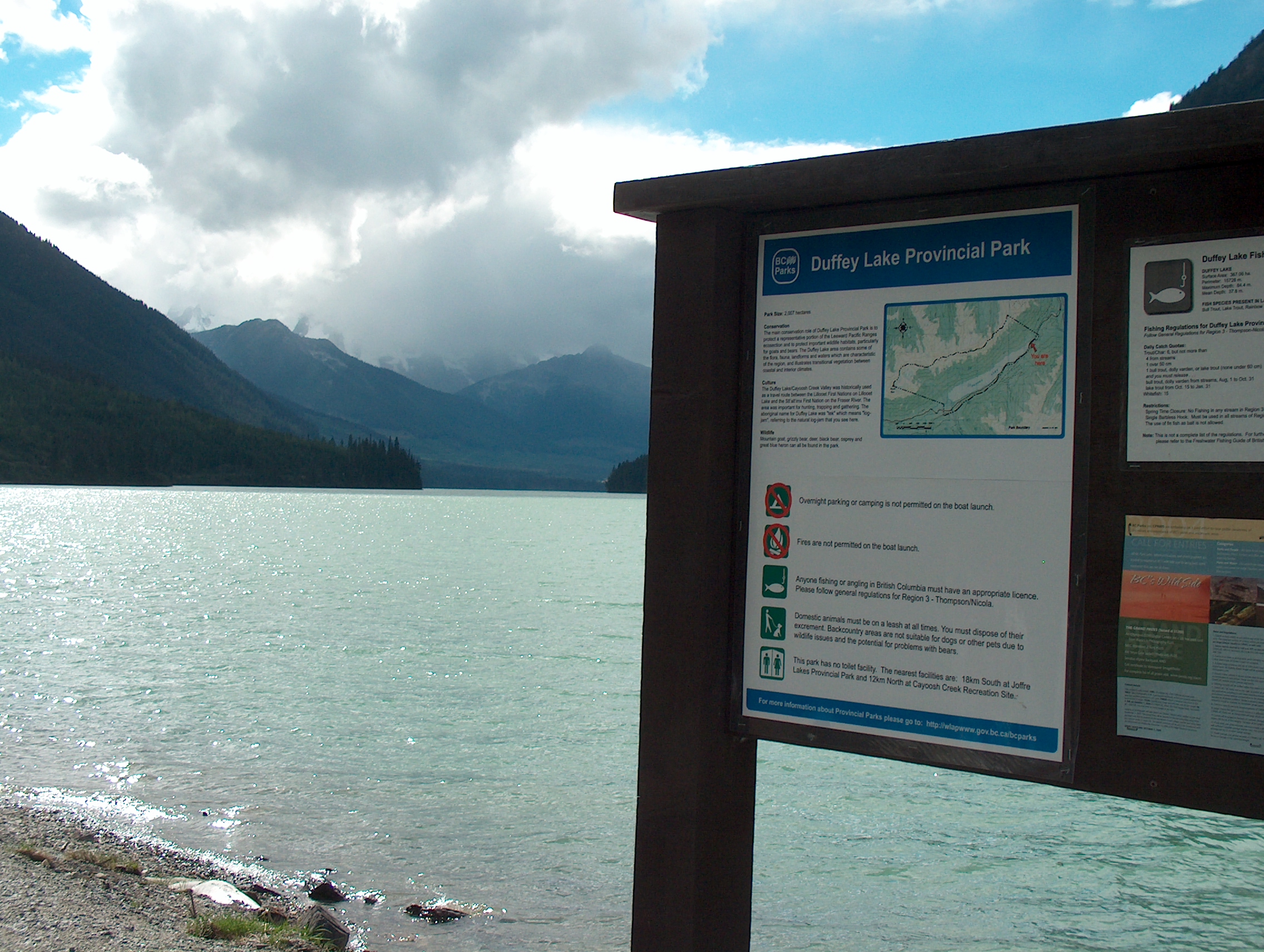
 Tafel mit Auskünften zum Park am Ostende des Duffey-Sees, 2004
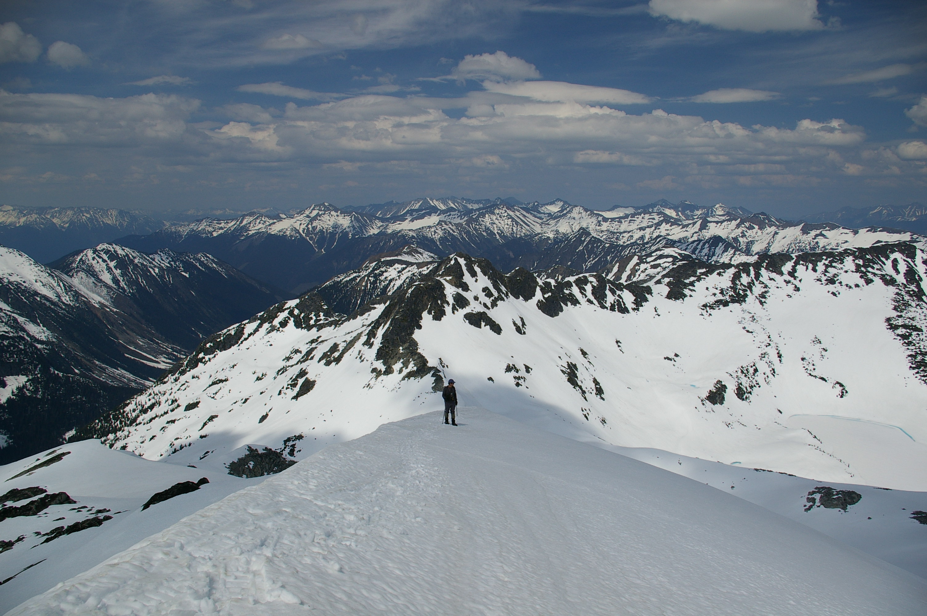
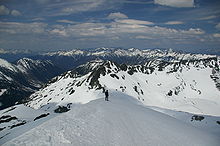 Nordseite des Mount Rohr
Der Duffey Lake und das Cayoosh Creek Valley bildeten bereits in frühgeschichtlicher Zeit einen Verbindungspfad zwischen dem Lillooet Lake und den St'at'imc Richtung Fraser River. Der Pfad führte dabei am Ostufer des Sees entlang. Archäologische Untersuchungen im Jahr 1999 erzielten keine Funde, doch spielt der See in der mündlichen Tradition der umgebenden Indianer eine wichtige Rolle.
Der Park hat vor allem die Aufgabe, das Ökosystem der Leeward Pacific Ranges zu schützen. Dabei repräsentieren Flora und Fauna, darunter Bergziegen, Schwarz- und Grizzlybären, aber auch Fischadler und Kanadareiher, die Übergangszone zwischen den Ökoregionen der Küste und denen des Hinterlandes. Daher sind nur 5 % des Parkgebiets als Erholungsgebiet vorgesehen.
1999 wurde ein Managementplan verabschiedet, bei dem N'Quatqua und St'at'imc bzw. Mt. Currie Indian Band mitwirkten, in deren Traditionellen Territorien sich der See befindet. Traditionelle Nutzungsrechte hatte aber auch die Cayoose Creek Indian Band, die heutige Sekw’elw’ás First Nation. Der Plan sollte ausdrücklich nur solange fortbestehen, wie keine Verträge zwischen First Nations und der Provinz zustande gekommen sind. Sollten diese Verträge in Widerspruch zum Managementplan stehen, muss er neu verhandelt werden.
Weblinks
Kategorie:- Provincial Park in British Columbia

Wikimedia Foundation.