- Gümüşdere
-
Gümüşdere 
Hilfe zu Wappen

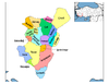
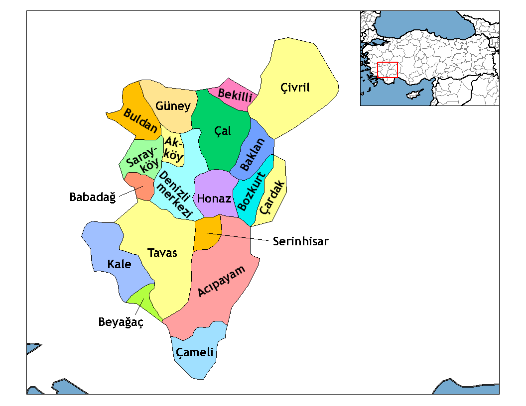
Basisdaten Provinz (il): Denizli Landkreis (ilçe): Tavas Koordinaten: 37° 23′ N, 29° 3′ O37.38165555555629.0441555555561095Koordinaten: 37° 22′ 54″ N, 29° 2′ 39″ O Höhe: 1.095 m Einwohner: 518[1] (2010) Telefonvorwahl: (+90) 258 Postleitzahl: 20500 Kfz-Kennzeichen: 20 Struktur und Verwaltung (Stand: 2010) Muhtar: Mehmet Düdükçü[2] Gümüşdere ist ein Dorf im Landkreis Tavas der türkischen Provinz Denizli. Gümüşdere liegt etwa 72 km südlich der Provinzhauptstadt Denizli und 31 km südlich von Tavas. Gümüşdere hatte laut der letzten Volkszählung 518 Einwohner (Stand Ende Dezember 2010).
Einzelnachweise
- ↑ Türkisches Institut für Statistik, abgerufen 8. Juni 2011
- ↑ Yerelnet.org, abgerufen 5. Oktober 2010
 Ortschaften im Landkreis Tavas
Städte/Kleinstädte: Baharlar | Çağırgan | Garipköy | Karahisar | Kızılca | Kızılcabölük | Nikfer | Pınarlar | Solmaz | Tavas | Ulukent
Dörfer: Akıncılar | Akyar | Alpa | Altınova | Avdan | Aydoğdu | Bahçeköy | Balkıca | Çalıköy | Çiftlikköy | Damlacık | Denizoluğu | Dereağzı | Derinkuyu | Ebecik | Gökçeler | Gümüşdere | Güzelköy | Hırka | Horasanlı | Kayaca | Kayapınar | Keçeliler | Kozlar | Medet | Ovacık | Pınarlık | Sarıabat | Seki | Sofular | Tekkeköy | Vakıf | Yahşiler | Yeşilköy | Yorga | Yukarıboğaz
Wikimedia Foundation.
Schlagen Sie auch in anderen Wörterbüchern nach:
Sarıyer — is the northernmost district of İstanbul on the European side of the city. With a long shore along the water, the district boasts both a beautiful coastline and a lush forest. The Sarıyer district is a huge area consisting of the villages on the… … Wikipedia
Etlik — is a neighbourhood in the Keçiören district of Ankara Province, Turkey. Kasalar is one of the major units of Etlik. The neighbourhood is located between İncirli, Aşağı Eğlence and Gümüşdere neighbourhoods. It borders the district of Yenimahalle… … Wikipedia
Baharlar — Hilfe zu Wappen … Deutsch Wikipedia
Garipköy — Garipköy … Deutsch Wikipedia
Karahisar — Hilfe zu Wappen … Deutsch Wikipedia
Kızılca — Kızılca … Deutsch Wikipedia
Kızılcabölük — Hilfe zu Wappen … Deutsch Wikipedia
Nikfer — Nikfer … Deutsch Wikipedia
Pınarlar — Pınarlar … Deutsch Wikipedia
Solmaz — Hilfe zu Wappen … Deutsch Wikipedia
Gümüşdere


18+
© Academic, 2000-2024
- Kontaktieren Sie uns: Unterstützung, Werbung
Wörterbücher Export, schritte mit PHP, Joomla, Drupal, WordPress, MODx.