Highway 11 (Ontario)

Highway 11 (Ontario)
Offizielle Straßenmarkierung
Der Highway 11 nördlich von North Bay

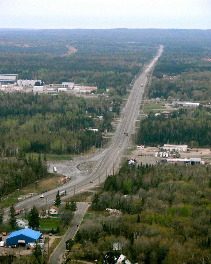
Der Highway 11 ist eine 1789 km lange Straße in der Kanadischen Provinz Ontario. Der Highway 11 beginnt als Abzweig vom Ontario Highway 400 bei Barrie und endet an der Grenze zwischen Ontario und dem US-Bundesstaat Minnesota mit Querung des Rainy River bei der Ortschaft Rainy River. Auf US-Gebiet setzt sich die Straße als Minnesota State Highway 72 fort. Der Highway 11 ist abschnittsweise ein Teil des Trans-Canada Highways.

Weblinks

 Commons: Highway 11 (Ontario) – Sammlung von Bildern, Videos und Audiodateien

Wikimedia Foundation.

Игры ⚽ Нужна курсовая?

Schlagen Sie auch in anderen Wörterbüchern nach:

  • Highway 403 (Ontario) — Highway 403 is a 400 Series Highway in Ontario, Canada that extends 126 km (78.3 mi.) from Woodstock in the west to Mississauga in the east, branching off from and reuniting with Highway 401 at both ends. It is concurrently signed with the Queen… …   Wikipedia

  • Highway 401 (Ontario) — Highway 401 als Teil des Netzwerks der 400er Serie Der Highway 401 oder Macdonald Cartier Freeway ist eine Autobahn, die sich durch den Süden der kanadischen Provinz Ontario zieht. Sie ist die bei weitem längste Autobahn der 400er Serie in… …   Deutsch Wikipedia

  • Highway 420 (Ontario) — Highway 420 is a 400 Series Highway in Ontario, Canada. It is a spur route from the Queen Elizabeth Way (QEW) to the tourist district of Niagara Falls.At 3.8 km (2.4 miles) in length, Highway 420 is Ontario s shortest 400 series Highway, running… …   Wikipedia

  • Highway 525 (Ontario) — Highway 525 is a provincial secondary highway in the Canadian province of Ontario. Highway 525 is a short, remote secondary highway. It links the First Nations community of Whitedog to Highway 596. It is the second westernmost secondary highway… …   Wikipedia

  • Highway 644 (Ontario) — Highway 644 is a highway in Ontario s Secondary Highway system. It is a very minor and extremely short route.It is located in Pointe au Baril in Parry Sound District and simply acts as an access road to the community from Highway 69.FactsHighway… …   Wikipedia

  • Highway 401 (Ontario) — Infobox road state=ON type=Hwy route=401 alternate name=Macdonald Cartier Freeway Highway of Heroes Express Toll Route length km=815 length ref=Ministry of Transportation of Ontario, [http://www.raqsb.mto.gov.on.ca/techpubs/TrafficVolumes.nsf/tvwe… …   Wikipedia

  • Highway 417 (Ontario) — Infobox road state=ON type=Hwy route=417 alternate name=Queensway length km=181 length ref=Ministry of Transportation of Ontario, [http://www.raqsa.mto.gov.on.ca/techpubs/TrafficVolumes.nsf/tvweb 2004 Annual Average Daily Traffic] ] length… …   Wikipedia

  • Highway 17 (Ontario) — Infobox road province=ON type=Hwy route=17 alternate name=Trans Canada Highway length km=1960 length round=0 length ref=Fact|date=August 2007 established=1920 direction a=West direction b=East terminus a= junction=jct|state=ON|Hwy|71 in Kenora… …   Wikipedia

  • Highway 404 (Ontario) — Infobox road state=ON type=Hwy route=404 alternate name= length km=36.8 length ref=Ministry of Transportation of Ontario, [http://www.raqsa.mto.gov.on.ca/techpubs/TrafficVolumes.nsf/tvweb 2004 Annual Average Daily Traffic] ] length round=1… …   Wikipedia

  • Highway 634 (Ontario) — Infobox road highway name = Highway 634 marker length km = 80.3 length notes = direction a = North direction b = South direction = North/South starting terminus = Abitibi Canyon Hydroelectric dam at Otter Rapids, Ontario ending terminus = Highway …   Wikipedia

  • Highway 23 (Ontario) — Infobox road province=ON type=Hwy route=23 alternate name= maint=the Ministry of Transportation length km= length ref=Ministry of Transportation of Ontario, [http://www.raqsa.mto.gov.on.ca/techpubs/TrafficVolumes.nsf/tvweb 2004 Annual Average… …   Wikipedia

Share the article and excerpts

Direct link
Do a right-click on the link above
and select “Copy Link”