- Central River Division
-
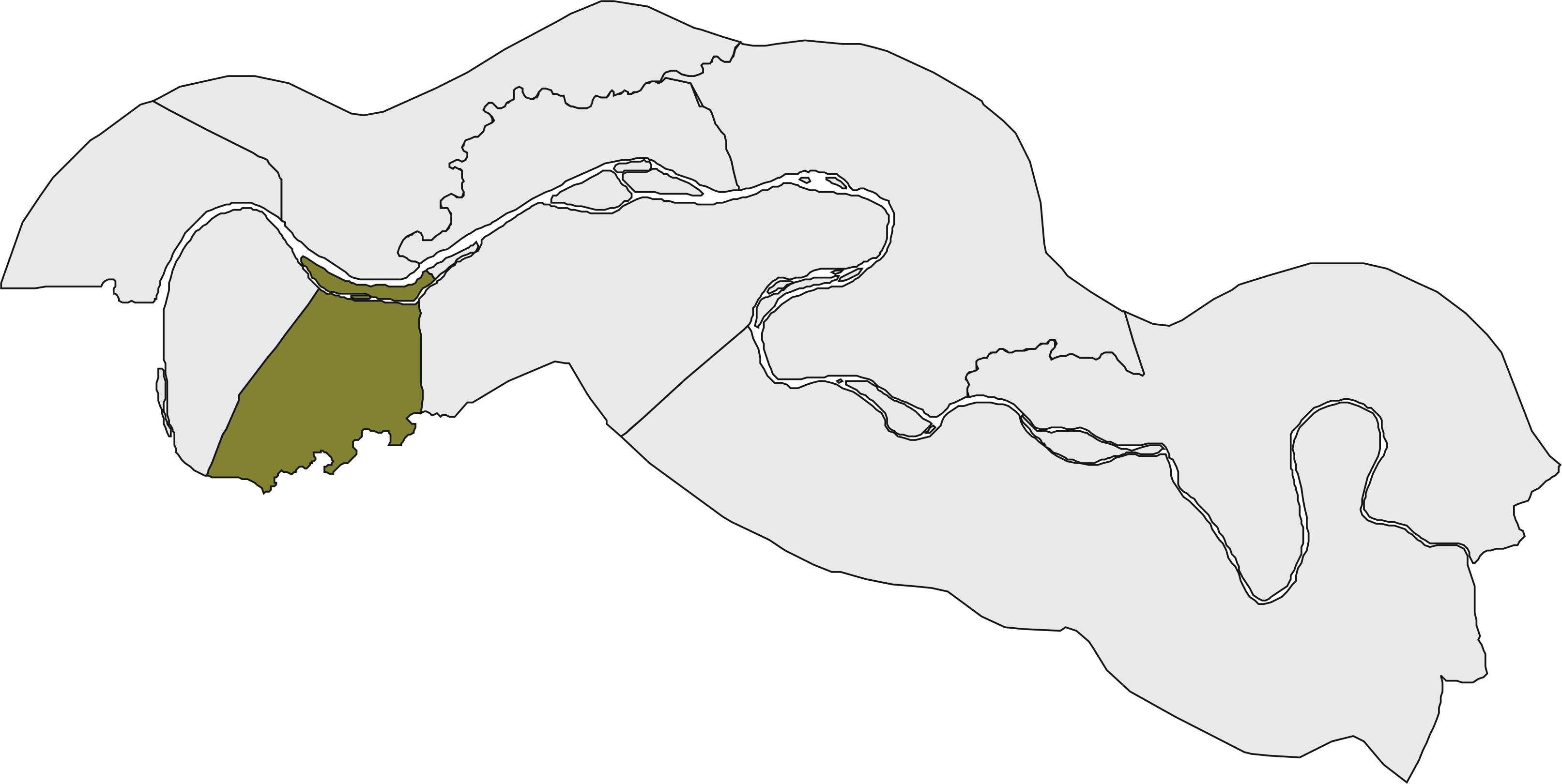
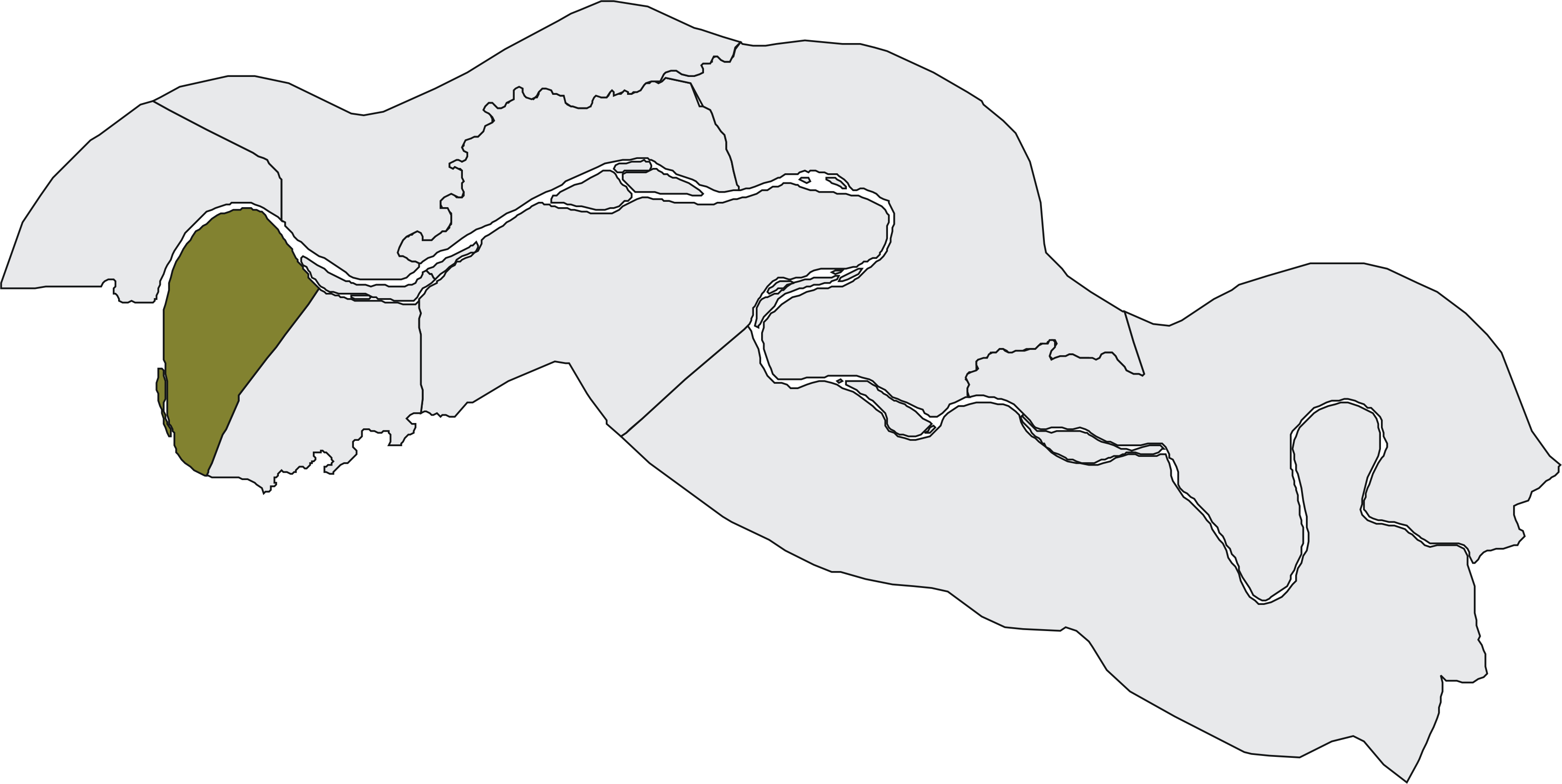
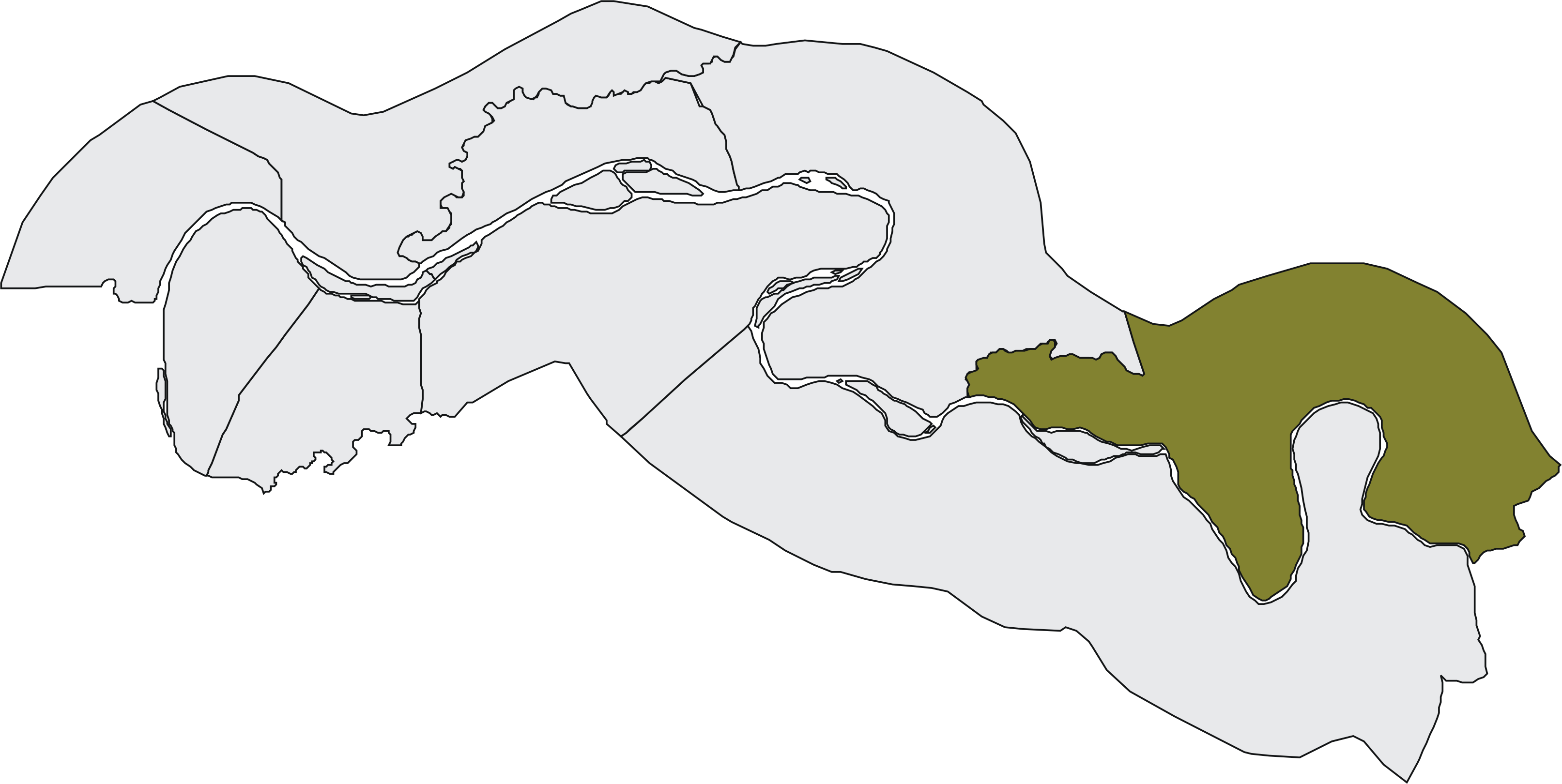
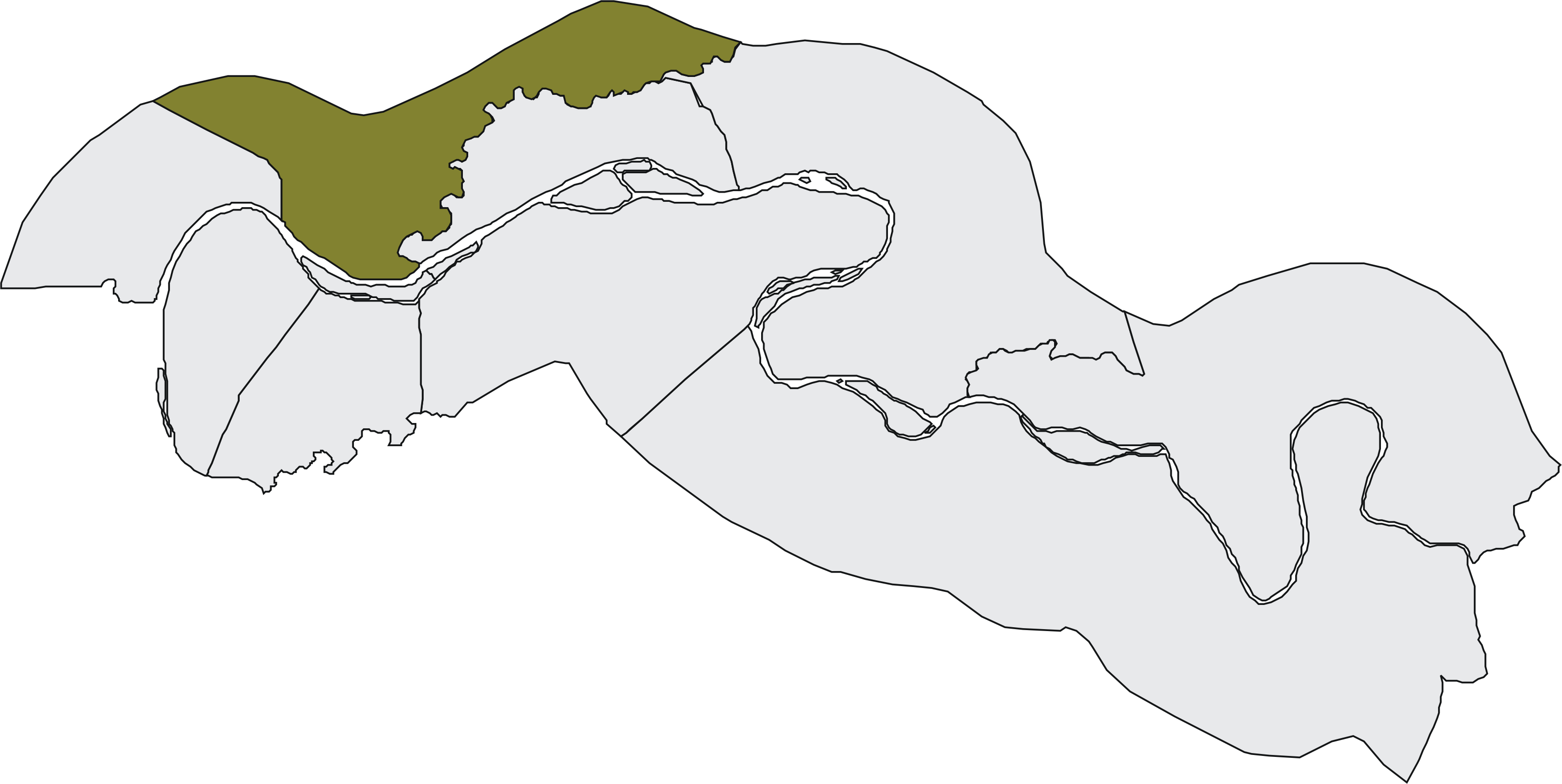
Karte 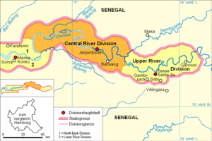 Lage der Division in Gambia
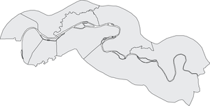 Central River
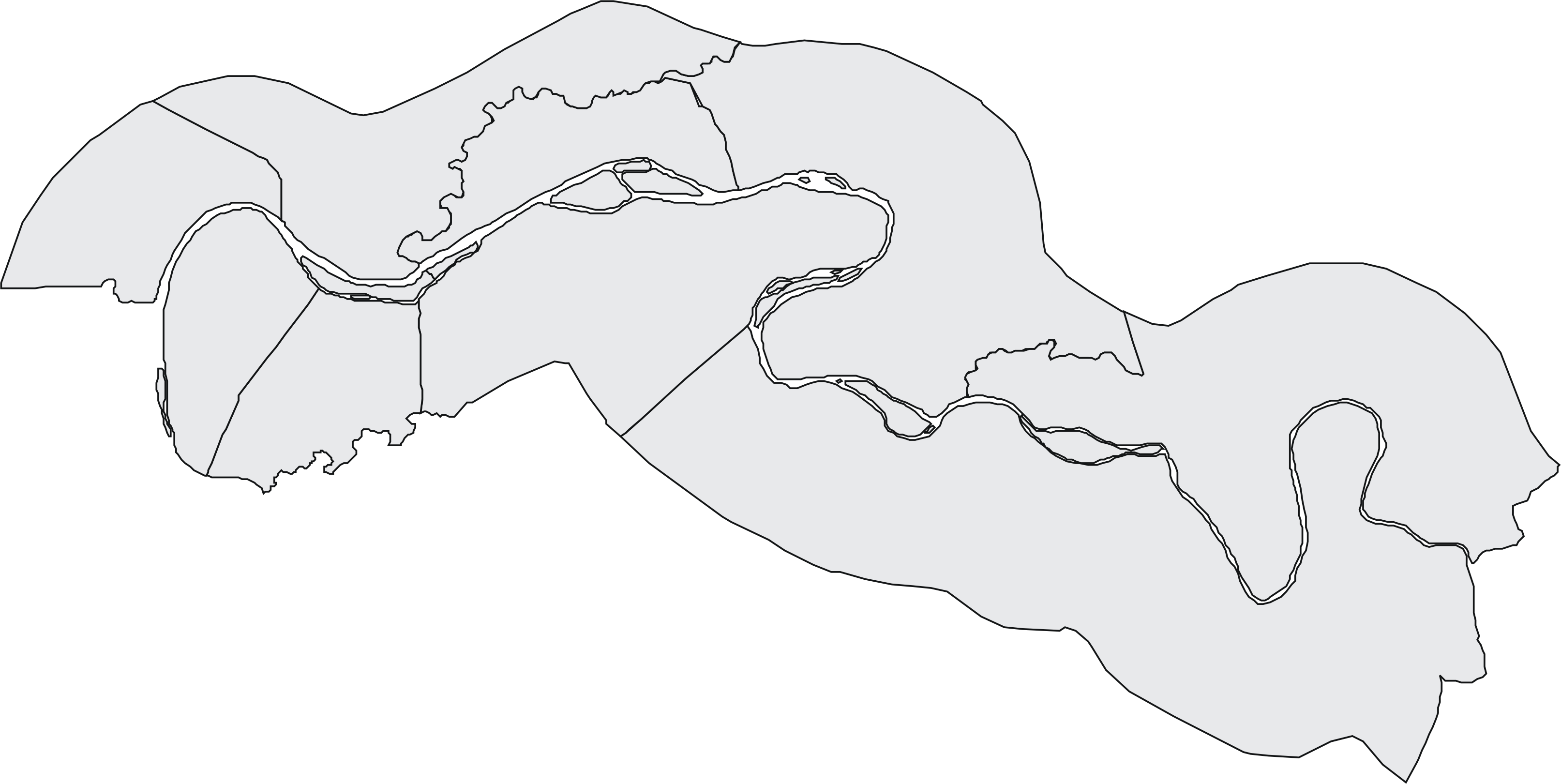
Basisdaten Verwaltungsort Janjanbureh Geographisches Zentrum 13° 34' N, 14° 58' W Koordinaten: 13° 34' N, 14° 58' W Nord-Süd-Ausdehnung 57 km Ost-West-Ausdehnung 110 km Fläche 2.895 km² Einwohnerzahl 197.245 (Stand 2008) Bevölkerungsdichte 68 Einwohner/km² ISO 3166-2 GM-CTelefonvorwahl +220 (5) 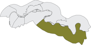 Fulladu West
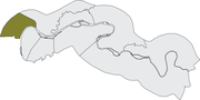 Lower Saloum
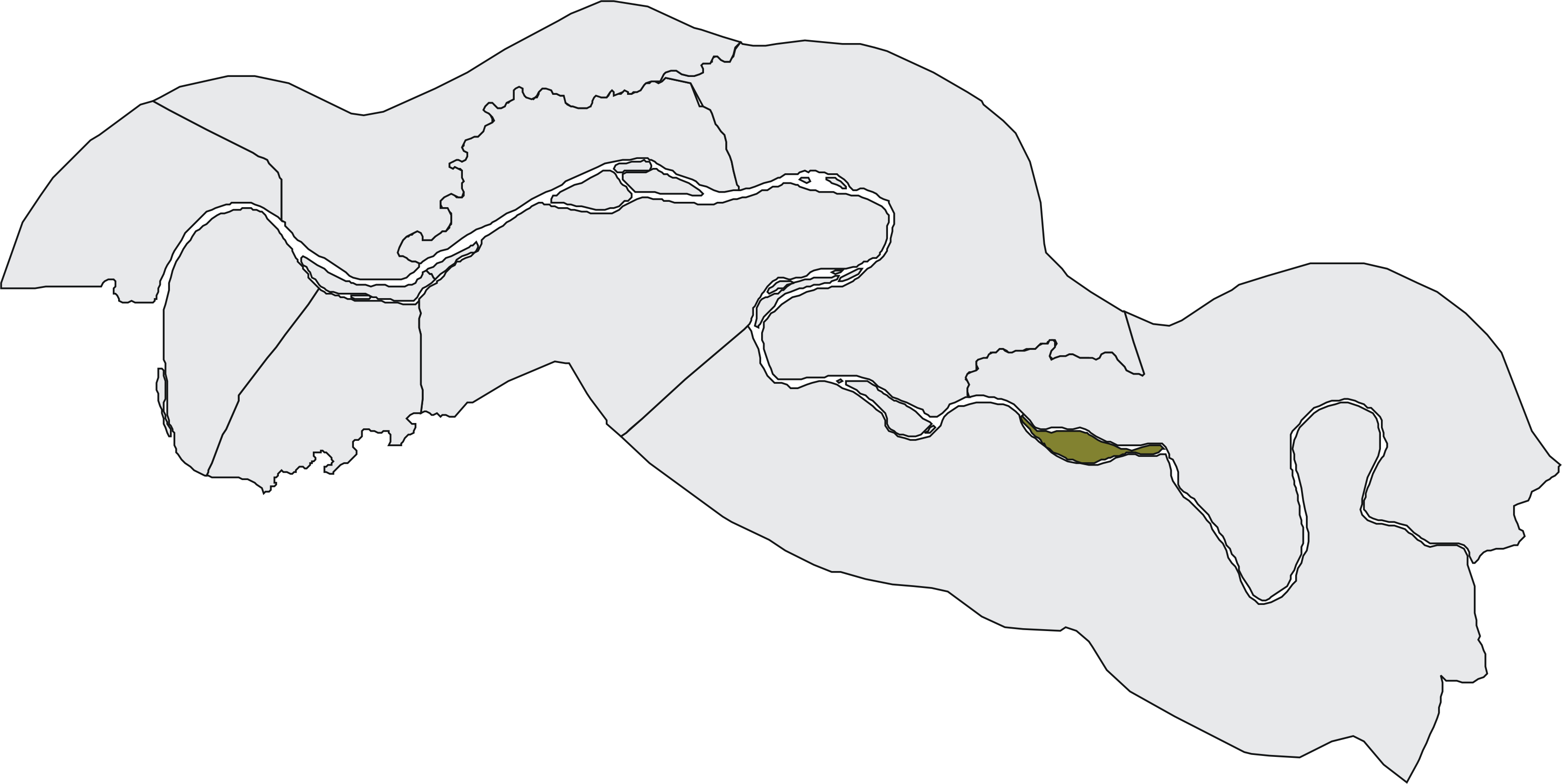
 Janjanbureh Island
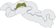 Nianija Kuntaur
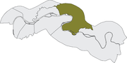 Niani Kuntaur
 Niamina East
 Niamina West
 Niamina Dankunku
 Sami Kuntaur
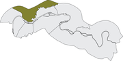 Upper Saloum
Die Central River Division ist eine von sechs Verwaltungseinheiten (Division) im Zentrum von Gambia.
Inhaltsverzeichnis
Geographie
Die 2.895 km² große Division, mit dem Verwaltungs-Hauptort Janjanbureh mit 3.748 Einwohnern, ist unterteilt in zehn Distrikte. Mit 197.245 Einwohnern (Schätzung 2008)[1] erstreckt sich die Division zu beiden Seiten des Gambia-Flusses. Im Westen angrenzend an die Lower River Division und die North Bank Division bis zur Upper River Division im Osten. Der Verwaltungs-Hauptort Janjanbureh liegt auf der Insel Janjanbureh Island, die einen eigenen Distrikt bildet. Der größte Ort ist mit 7.849 Einwohner Bansang im Distrikt Fulladu West.
Orte
Die zehn größten Orte sind:
- Bansang, 8.381
- Brikama Ba, 4.283
- Janjanbureh, 3.748
- Madina Umfally, 3.088
- Sami, 3.035
- Jarreng, 2.981
- Kuntaur, 2.895
- Kundang, 2.508
- Kerewan, 2.242
- Kau-ur, 2.190
- Siehe auch Liste der Städte in Gambia
Einwohnerentwicklung
Jahr Einwohnerzahl 1963 64.755 1973 101.901 1983 126.004 1993 156.021 2003 185.897 2005 190.616 2006 192.916 2007 195.173 2008 197.245 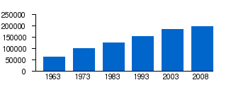
Geschichte
In der älteren Einteilung Gambias, in acht Local Government Areas (LGA), ist die Central River Division in zwei LGAs gespalten. Nördlich des Gambia-Flusses die LGA Kuntaur und südlich die LGA Janjanbureh. Die LGAs existieren parallel, haben aber nicht die Bedeutung wie die Divisionen, da sie keine Codierung nach ISO 3166-2 haben.
Im Rahmen der Afrikanisierung wurde im Jahre 1995 der ehemalige Namen MacCarthy Island in Central River Division umbenannt. Die Insel MacCarthy Island wurde in Janjanbureh Island umbenannt und die Verwaltungs-Hauptstadt Georgtown in Janjanbureh.
Distrikte
Distrikt Fläche Bevölkerung Bevölkerungsdichte Fulladu West 813 km² 77.311 Einwohner 95 Einwohner/km² Niani Kuntaur 434 km² 23.551 Einwohner 54 Einwohner/km² Niamina East 357 km² 20.597 Einwohner 58 Einwohner/km² Sami Kuntaur 473 km² 20.223 Einwohner 43 Einwohner/km² Upper Saloum 263 km² 17.376 Einwohner 66 Einwohner/km² Lower Saloum 154 km² 12.823 Einwohner 83 Einwohner/km² Nianija Kuntaur 127 km² 8.940 Einwohner 70 Einwohner/km² Niamina West 143 km² 6.840 Einwohner 48 Einwohner/km² Niamina Dankunku 121 km² 5.836 Einwohner 48 Einwohner/km² Janjanbureh Island 10 km² 3.748 Einwohner 375 Einwohner/km² Namensvarianten
Name Varianten Division Central River Division LGA Janjanbureh, LGA Kuntaur, Georgetown, McCarthy Island, MacCarthy Island Distrikt Janjanbureh Island McCarthy Island, MacCarthy Island Distrikt Fulladu West Fulladu West Stadt Bansang Bansang Hospital and Quarter Stadt Kaur Kaur Wharf Town Stadt Kerewan Kerewan Mandinka, Kerewan Bakary, Kerewan Fula Stadt Kuntaur Kunta-ur, Kuntaur Fulla Kunda, Kuntaur Wharf Town Stadt Janjanbureh Georgetown, Janjangbureh, Jangjangbureh, Janjangbure Stadt Jarreng Jareng Tenda Stadt Sami Sinchu Baato, Sami Pachoki, Sami Wharf Town, Sami Koto, Sami Kuta Quellen
- ↑ World Gazetteer Zugriff März 2008

Greater Banjul Area | Western Division | North Bank Division | Lower River Division | Central River Division | Upper River Division


Wikimedia Foundation.