- Kwethluk River
-
Kwethluk River 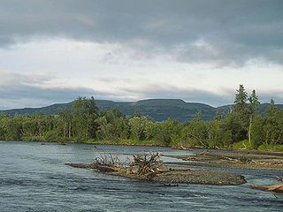
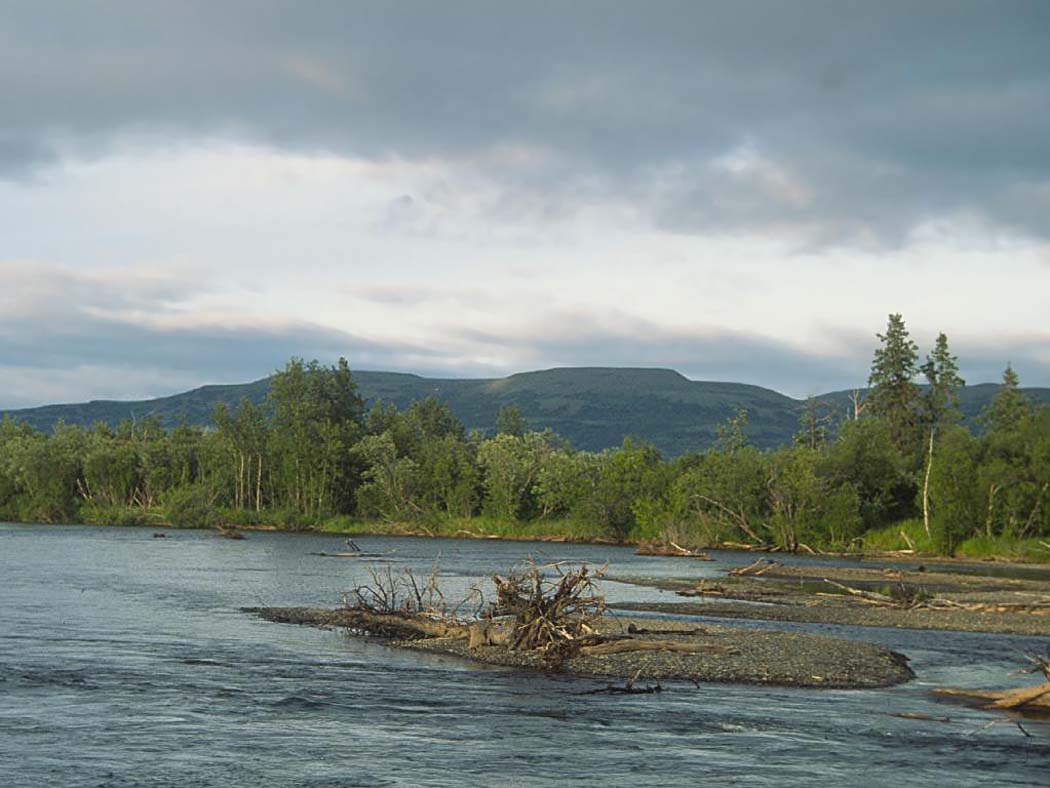
Der Kwethluk River im Yukon Delta National Wildlife Refuge, im Hintergrund der Three-Step Mountain
Daten Lage Alaska Flusssystem Kuskokwim Quelle Wood River Mountains
60° 2′ 25″ N, 159° 25′ 48″ W60.040278-159.43Mündung Kuskokwim River bei Kwethluk 60.813889-161.448056Koordinaten: 60° 48′ 50″ N, 161° 26′ 53″ W
60° 48′ 50″ N, 161° 26′ 53″ W60.813889-161.448056Länge 137 km Der Kwethluk River ist ein 137 km langer Fluss im südwestlichen Interior von Alaska.
Die Quelle des Flusses liegt in den Wood River Mountains westlich des Wood-Tikchik State Parks. Er fließt nordwestwärts bis zur Mündung in den Kuskokwim River bei Kwethluk, 16 km östlich von Bethel, im Yukon-Kuskokwim-Delta.
Die Bezeichnung der Eskimos für den Fluss wurde 1898 von W. S. Post vom United States Geological Survey auf Basis von Aussagen von J. H. Kilbuck, einem Missionar der Herrnhuter Brüdergemeine, als „Kwiklimut“ oder auch „Kwikluk“ aufgezeichnet. Die heutige Schreibweise wurde 1915 von A. G. Maddren, ebenfalls vom USGS, eingeführt.
Weblinks
Kategorien:- Fluss in Alaska
- Fluss in Nordamerika
- Flusssystem Kuskokwim River
Wikimedia Foundation.