Liste von Vulkanen in Neuseeland
- Liste von Vulkanen in Neuseeland
-
Dies ist eine Liste von Vulkanen in Neuseeland, die während des Quartärs mindestens einmal aktiv waren.
| Bild |
Name |
Insel |
Inselgruppe/Region |
Vulkantyp |
Letzte Eruption |
Höhe [m] |
Geokoordinaten |
 |
|
|
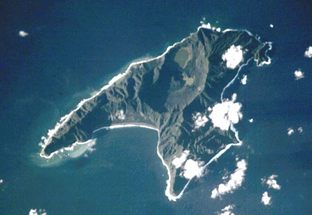
Antipoden-Inseln |
Aschenkegel[1] |
unbekannt |
402[1] |
!450.3166675678.766667549° 41′ 00″ S, 178° 46′ 00″ O-49.683333333333178.76666666667402[1] |
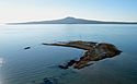 |
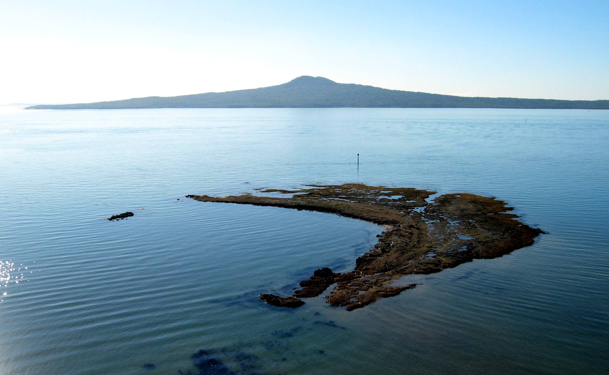
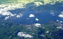
Aucklandfeld |
Nordinsel, Rangitoto |
Auckland (Region) |
Vulkanfeld |
ca. 1350 |
260 |
!463.1000005674.866667536° 54′ 00″ S, 174° 52′ 00″ O-36.9174.86666666667260 |
|
Brothers |
|
Kermadecinseln |
Submariner Vulkan |
unbekannt |
-1350 |
!465.1252785679.075278534° 52′ 29″ S, 179° 04′ 31″ O-34.874722222222179.07527777778-1350 |
|
Clark |
|
Kermadecinseln |
Submariner Vulkan |
unbekannt |
-860 |
!463.5536115677.838889536° 26′ 47″ S, 177° 50′ 20″ O-36.446388888889177.83888888889-860 |
 |
|
Curtis Island |
Kermadecinseln |
Submariner Vulkan |
unbekannt |
137 |
!469.4577785321.439167530° 32′ 32″ S, 178° 33′ 39″ W-30.542222222222-178.56083333333137 |
|
Giggenbach |
|
Kermadecinseln |
Submariner Vulkan |
unbekannt |
-65 |
!469.9641675321.287500530° 02′ 09″ S, 178° 42′ 45″ W-30.035833333333-178.7125-65 |
|
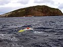
Healy |
|
Kermadecinseln |
Submariner Vulkan |
1360 ± 75 Jahre |
-980 |
!464.9963895678.972500535° 00′ 13″ S, 178° 58′ 21″ O-35.003611111111178.9725-980 |
|
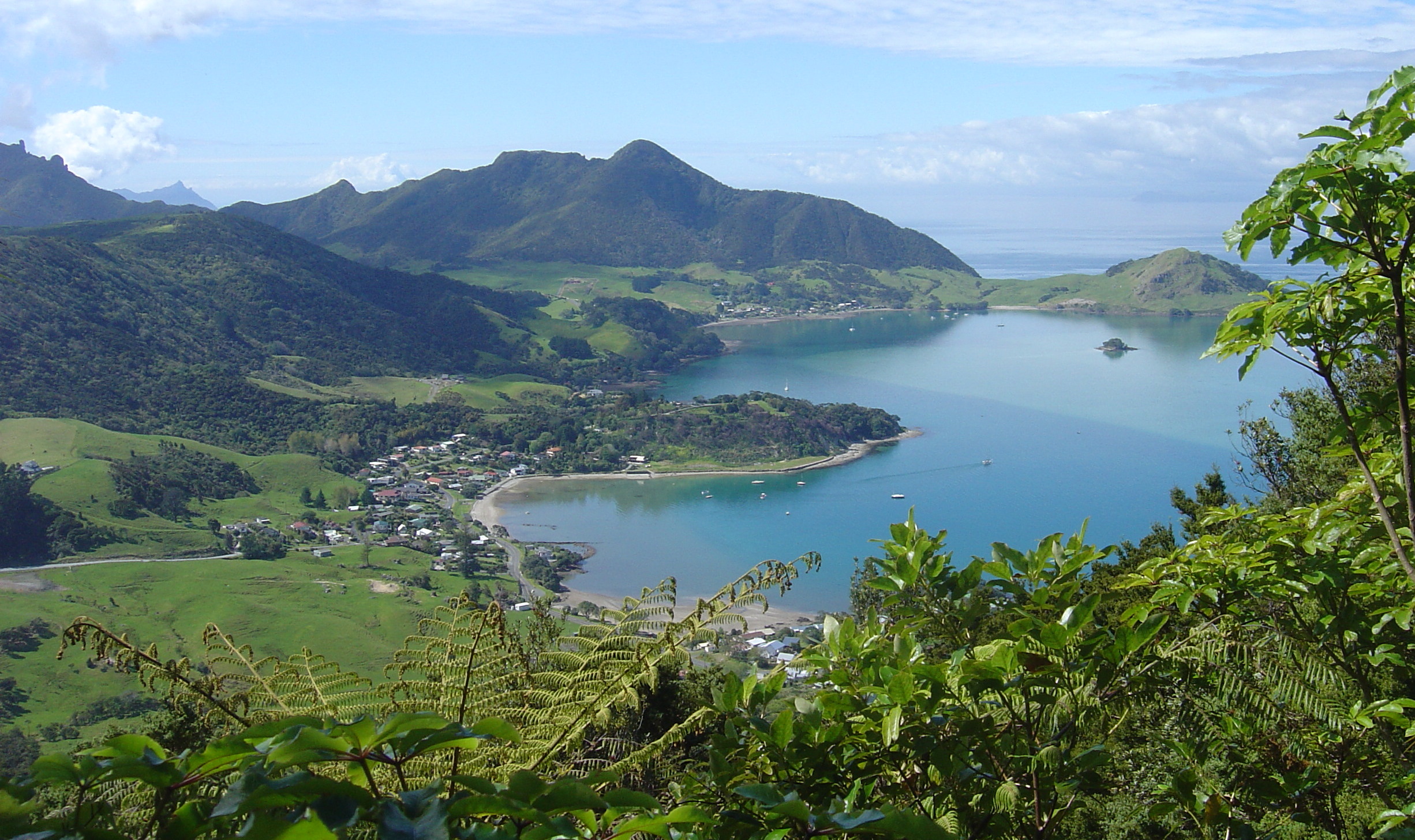
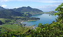
Kaikohe-Bay of Islands-Vulkanfeld |
Nordinsel |
Northland |
Vulkanfeld |
400 n. Chr. ± 300 Jahre |
388 |
!464.7000005673.900000535° 18′ 00″ S, 173° 54′ 00″ O-35.3173.9397 |
 |
|
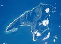
Macauley Island |
Kermadecinseln |
Caldera |
4360 v. Chr. ± 200 Jahre |
238 |
!469.8000005321.533333530° 12′ 00″ S, 178° 28′ 00″ W-30.2-178.46666666667238 |
 |
Maroa |
Nordinsel |
Waikato (Region) |
Calderen |
ca. 180 n. Chr. |
1156 |
!461.5833335676.083333538° 25′ 00″ S, 176° 05′ 00″ O-38.416666666667176.083333333331156 |
|
|
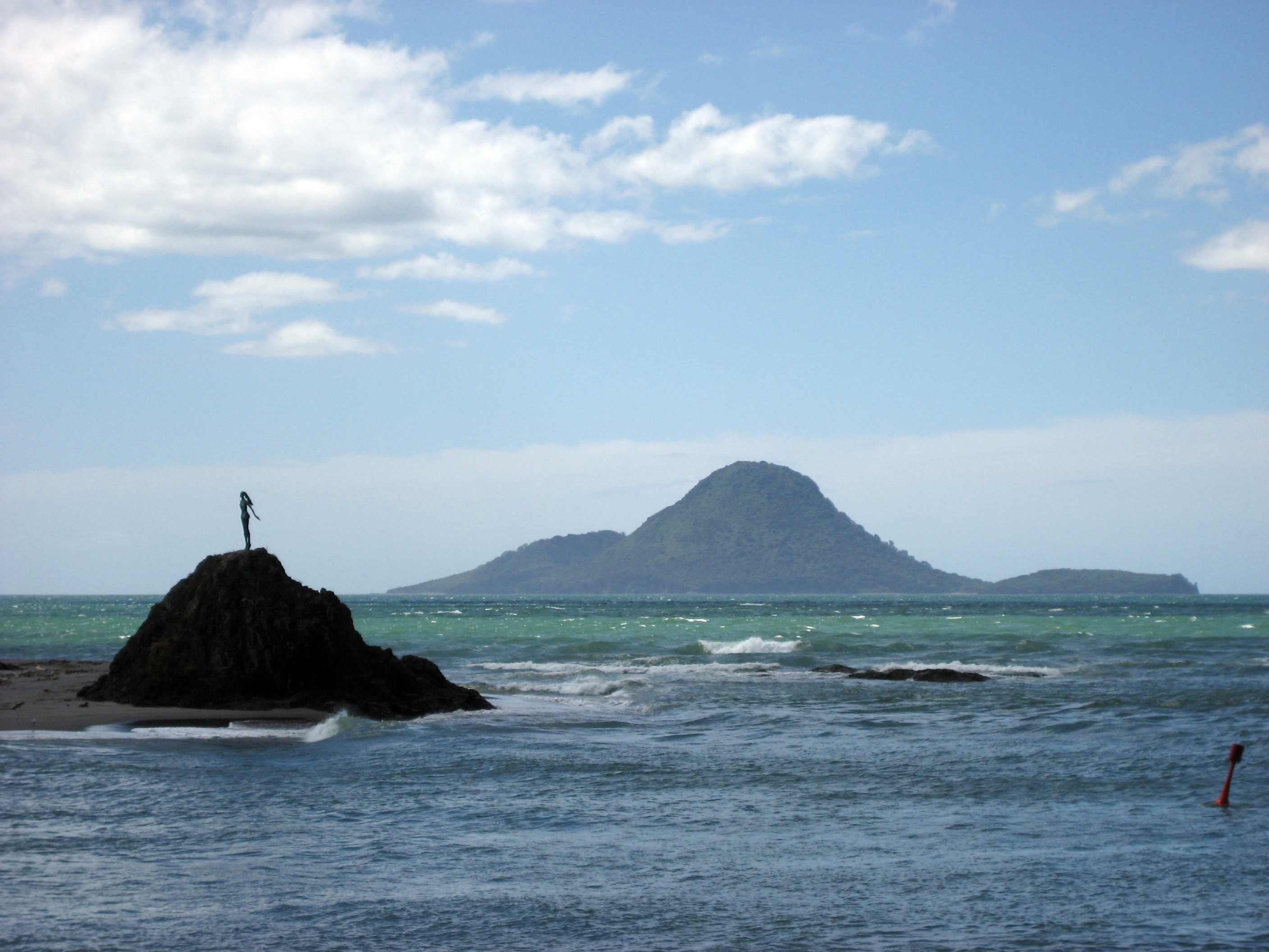
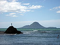
Mayor Island (Tuhua) |
Bay of Plenty (Region) |
Schildvulkan |
5060 v. Chr. ± 200 Jahre |
355 |
!462.7166675676.250000537° 17′ 00″ S, 176° 15′ 00″ O-37.283333333333176.25355 |
|
Monowai Seamount |
|
Kermadecinseln |
Submariner Vulkan |
2008 |
-132 |
!474.1125005322.811944525° 53′ 15″ S, 177° 11′ 17″ W-25.8875-177.18805555556-132 |
 |
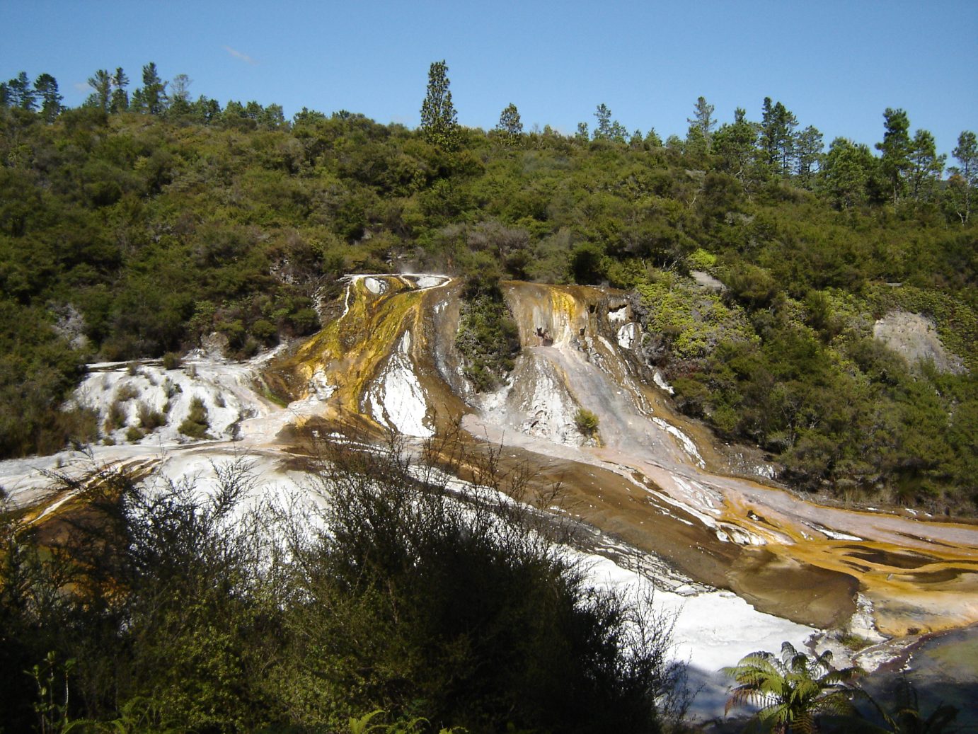
Okataina |
Nordinsel |
Bay of Plenty (Region) |
Vulkanfeld |
1981 |
1111 |
!461.8833335676.500000538° 07′ 00″ S, 176° 30′ 00″ O-38.116666666667176.51111 |
 |
|
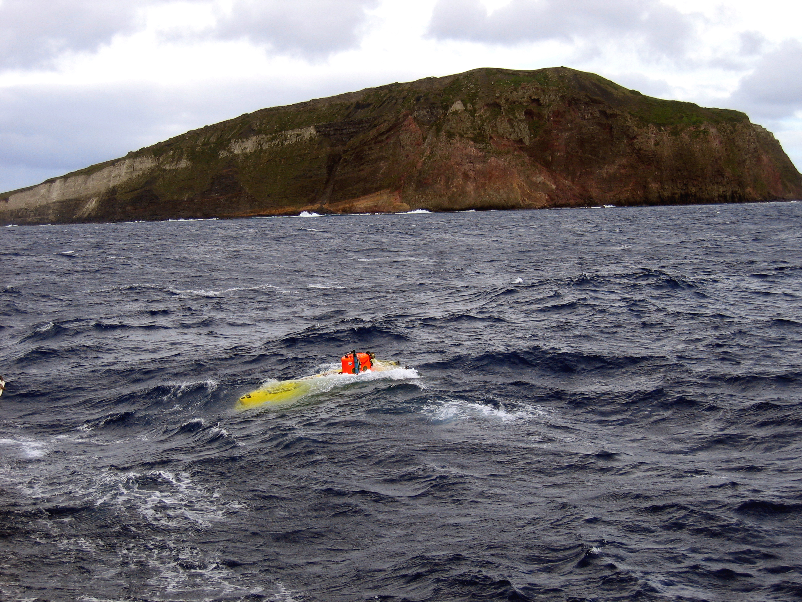
Raoul Island |
Kermadecinseln |
Schichtvulkan |
2006 |
516 |
!470.7333335322.083333529° 16′ 00″ S, 177° 55′ 00″ W-29.266666666667-177.91666666667516 |
|
Reporoa-Caldera |
Nordinsel |
Bay of Plenty (Region) |
Caldera |
ca. 1180 |
592 |
!461.5833335676.333333538° 25′ 00″ S, 176° 20′ 00″ O-38.416666666667176.33333333333592 |
 |
Rotorua |
Nordinsel |
Bay of Plenty (Region) |
Caldera |
<25000 BP |
757 |
!461.9166675676.266667538° 05′ 00″ S, 176° 16′ 00″ O-38.083333333333176.26666666667757 |
 |
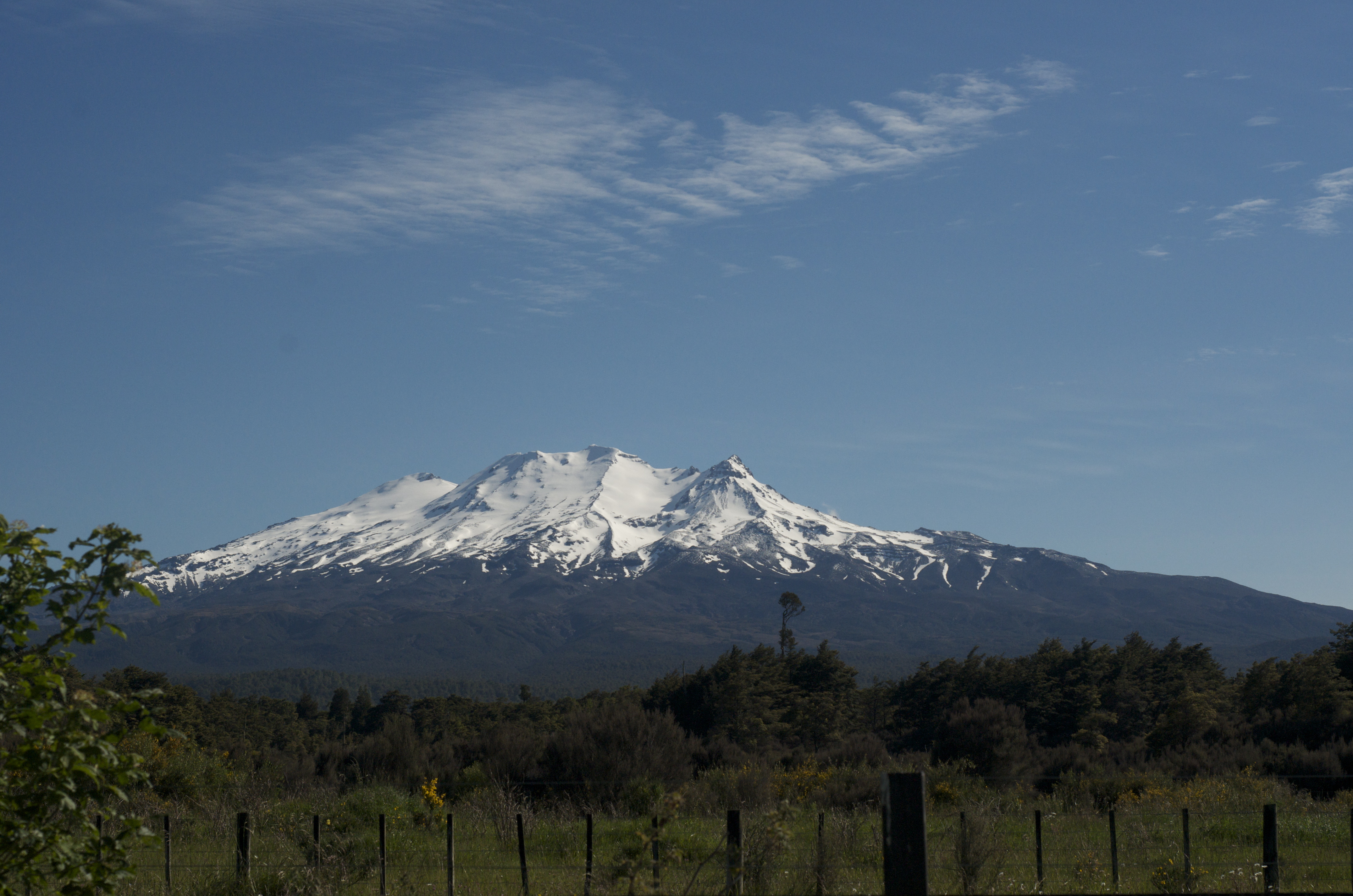
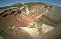
Ruapehu |
Nordinsel |
Manawatu-Wanganui |
Schichtvulkan |
2007 |
2797 |
!460.7166675675.566667539° 17′ 00″ S, 175° 34′ 00″ O-39.283333333333175.566666666672797 |
|
Rumble II West |
|
Kermadecinseln |
Submariner Vulkan |
unbekannt |
-1200 |
!464.6466675678.526667535° 21′ 12″ S, 178° 31′ 36″ O-35.353333333333178.52666666667-1200 |
|
Rumble III |
|
Kermadecinseln |
Submariner Vulkan |
2008 ± 1 Jahr |
-220 |
!464.2550005678.478333535° 44′ 42″ S, 178° 28′ 42″ O-35.745178.47833333333-220 |
|
Rumble IV |
|
Kermadecinseln |
Submariner Vulkan |
unbekannt |
-500 |
!463.8666675678.050000536° 08′ 00″ S, 178° 03′ 00″ O-36.133333333333178.05-500 |
|
Rumble V |
|
Kermadecinseln |
Submariner Vulkan |
unbekannt |
-400 |
!463.8583335678.195833536° 08′ 30″ S, 178° 11′ 45″ O-36.141666666667178.19583333333-400 |
|
Tangaroa |
|
Kermadecinseln |
Submariner Vulkan |
unbekannt |
-600 |
!463.6791675678.028333536° 19′ 15″ S, 178° 01′ 42″ O-36.320833333333178.02833333333-600 |
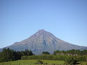 |
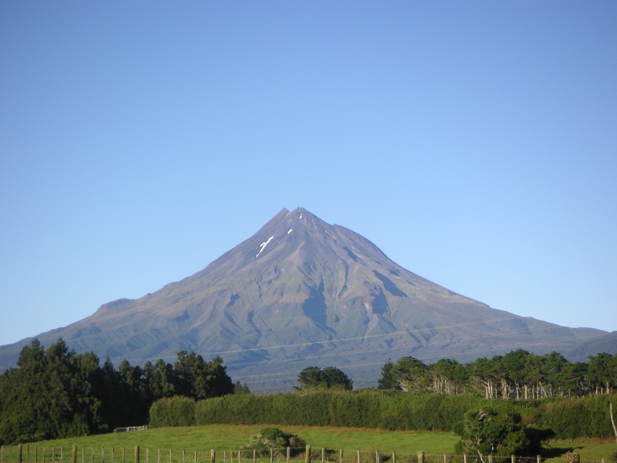
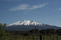
Taranaki (Mount Egmont) |
Nordinsel |
Taranaki (Region) |
Schichtvulkan |
1854 |
2518 |
!460.7000005674.066667539° 18′ 00″ S, 174° 04′ 00″ O-39.3174.066666666672518 |
 |
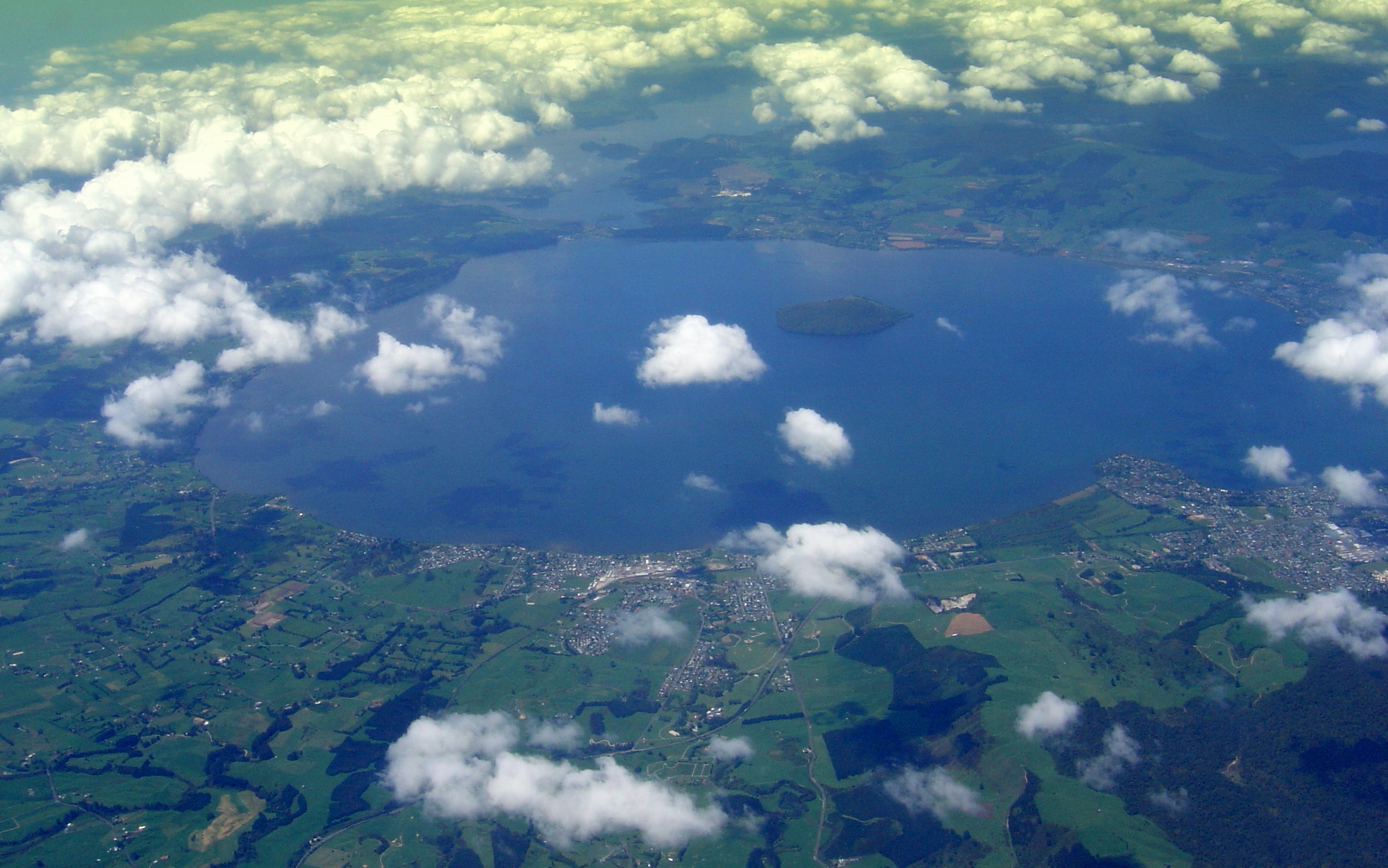
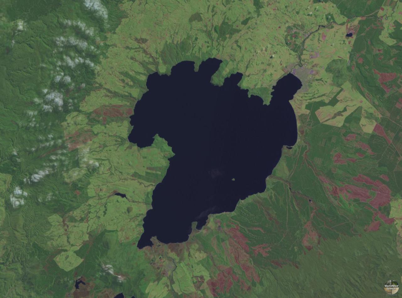
Taupo |
Nordinsel |
Waikato (Region) |
Caldera |
ca. 260 n. Chr. |
760 |
!461.1833335676.000000538° 49′ 00″ S, 176° 00′ 00″ O-38.816666666667176760 |
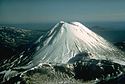 |
Tongariro, Ngauruhoe |
Nordinsel |
Manawatu-Wanganui |
Schichtvulkane |
1977 |
2291 |
!460.8416675675.633333539° 09′ 30″ S, 175° 38′ 00″ O-39.158333333333175.633333333332291 |
|
Volcano W |
|
Kermadecinseln |
Submarine Vulkane |
unbekannt |
-900 |
!468.1500005320.816667531° 51′ 00″ S, 179° 11′ 00″ W-31.85-179.18333333333-900 |
 |
|
Whale Island (Motuhora) |
Bay of Plenty (Region) |
|
>9000 BP |
354 |
!462.1416675676.983333537° 51′ 30″ S, 176° 59′ 00″ O-37.858333333333176.98333333333354 |
 |
Whangarei-Vulkanfeld |
Nordinsel |
Northland |
Vulkanfeld |
unbekannt |
397 |
!464.2500005674.266667535° 45′ 00″ S, 174° 16′ 00″ O-35.75174.26666666667397 |
 |
|
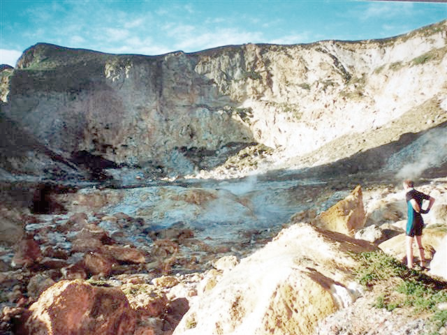
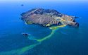
White Island (Whakaari) |
Bay of Plenty (Region) |
Schichtvulkane |
2001 |
321 |
!462.4833335677.183333537° 31′ 00″ S, 177° 11′ 00″ O-37.516666666667177.18333333333321 |
Siehe auch
Einzelnachweise
Hauptquellen:
sowie:
- ↑ a b c Antipodes Island. Global Volcanism Program, Smithsonian Institution.
Kategorien:
- Vulkan
- Liste (Vulkanismus)
- Geographie (Neuseeland)
- Geologie nach Region
Wikimedia Foundation.
Schlagen Sie auch in anderen Wörterbüchern nach:
Liste von Vulkanen — Karte mit allen Koordinaten: OSM, Google oder … Deutsch Wikipedia
Neuseeland — New Zealand (englisch) Aotearoa (maorisch)∗ Neuseeland … Deutsch Wikipedia
Pazifischer Feuerring — Unter dem Pazifischen Feuerring (auch zirkumpazifischer Feuerring, Feuergürtel oder ring of fire) versteht man einen Vulkangürtel, der den Pazifischen Ozean umringt. Mindestens zwei Drittel aller im Holozän ausgebrochenen Vulkane konzentrieren… … Deutsch Wikipedia
Vulkanausbruch — Ausbruch des Tungurahua, Ecuador, 1999 … Deutsch Wikipedia
City of Sails — Auckland Spitzname: City of Sails Lage … Deutsch Wikipedia
City of sails — Auckland Spitzname: City of Sails Lage … Deutsch Wikipedia
Auckland — Auckland … Deutsch Wikipedia
NZL — New Zealand (englisch) Aotearoa* (maorisch) Neuseeland … Deutsch Wikipedia
New Zealand — (englisch) Aotearoa* (maorisch) Neuseeland … Deutsch Wikipedia
Kernenergie nach Ländern — Dieser Artikel beschreibt die aktuelle Situation der zivilen Nutzung der Kernenergie in einzelnen Ländern. 30 Länder betreiben 432 Kernreaktoren mit einer gesamten Anschlussleistung von etwa 366 Gigawatt brutto (Stand: September 2011).[1] Stand… … Deutsch Wikipedia