Little Falls-South Windham
Schlagen Sie auch in anderen Wörterbüchern nach:
Little Falls-South Windham — Little Falls South Windham, ME U.S. Census Designated Place in Maine Population (2000): 1792 Housing Units (2000): 521 Land area (2000): 2.373741 sq. miles (6.147961 sq. km) Water area (2000): 0.131696 sq. miles (0.341091 sq. km) Total area… … StarDict's U.S. Gazetteer Places
Little Falls-South Windham, ME — U.S. Census Designated Place in Maine Population (2000): 1792 Housing Units (2000): 521 Land area (2000): 2.373741 sq. miles (6.147961 sq. km) Water area (2000): 0.131696 sq. miles (0.341091 sq. km) Total area (2000): 2.505437 sq. miles (6.489052 … StarDict's U.S. Gazetteer Places
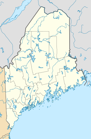
Little Falls-South Windham, Maine — Infobox Settlement official name = Little Falls South Windham, Maine settlement type = CDP nickname = motto = imagesize = image caption = image |pushpin pushpin label position =left pushpin map caption =Location within the state of Maine pushpin… … Wikipedia
Little Falls — Little Falls, NJ U.S. Census Designated Place in New Jersey Population (2000): 10855 Housing Units (2000): 4797 Land area (2000): 2.753796 sq. miles (7.132298 sq. km) Water area (2000): 0.074926 sq. miles (0.194058 sq. km) Total area (2000):… … StarDict's U.S. Gazetteer Places
Little Falls, ME — Little Falls South Windham, ME U.S. Census Designated Place in Maine Population (2000): 1792 Housing Units (2000): 521 Land area (2000): 2.373741 sq. miles (6.147961 sq. km) Water area (2000): 0.131696 sq. miles (0.341091 sq. km) Total area… … StarDict's U.S. Gazetteer Places
Windham (Maine) — Windham … Deutsch Wikipedia
North Windham, Maine — CDP … Wikipedia
Portland-South Portland-Biddeford metropolitan area — The Portland ndash;South Portland ndash;Biddeford Metropolitan Statistical Area, as defined by the United States Census Bureau, is an area consisting of three counties in Maine, anchored by the city of Portland and the smaller cities of South… … Wikipedia
Westbrook, Maine — City Presumpscot River, looking upstream towards One Riverfront Plaza and Saccarappa Falls … Wikipedia
National Register of Historic Places listings in Cumberland County, Maine — Location of Cumberland County in Maine This is a list of the National Register of Historic Places listings in Cumberland County, Maine. This is intended to be a complete list of the properties and districts on the National Register of Historic… … Wikipedia