Loch Chon

Loch Chon
Loch Chon
Loch Chon - geograph.org.uk - 209369.jpg
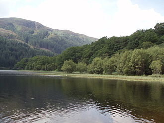
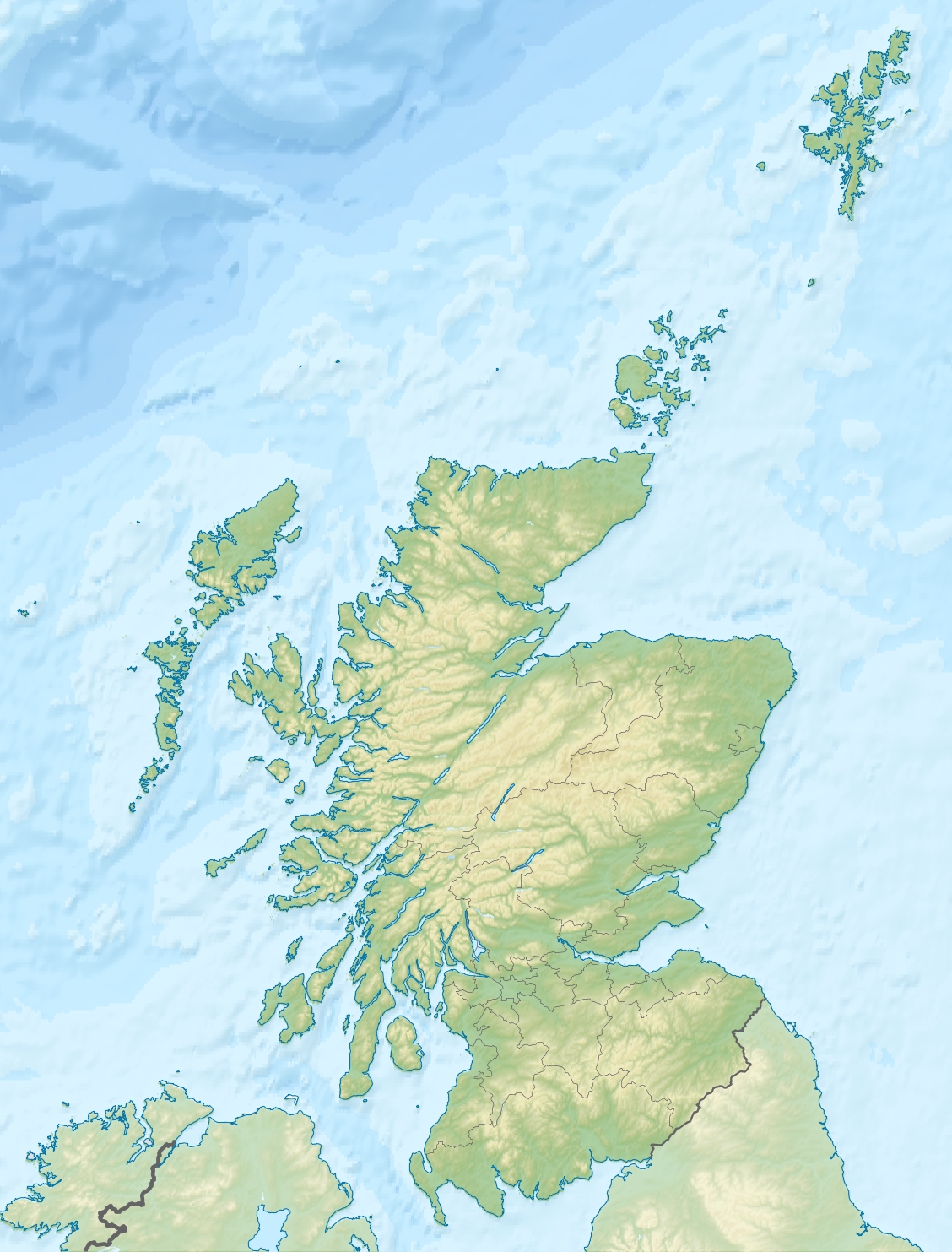
Geographische Lage Loch Lomond and the Trossachs National Park, Schottland
Abfluss Water of Chon → Loch Ard
Orte in der Nähe Callander
Daten
Koordinaten 56° 12′ 50″ N, 4° 32′ 50″ W56.213888888889-4.5472222222222Koordinaten: 56° 12′ 50″ N, 4° 32′ 50″ W
Loch Chon (Schottland)
Loch Chon

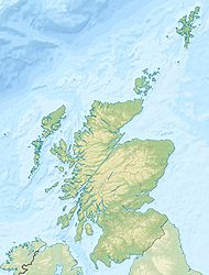
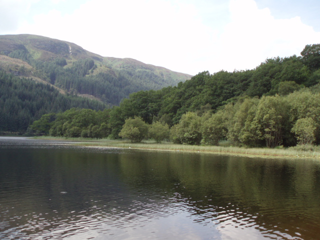
Loch Chon ist ein Süßwassersee am Rand der schottischen Highlands. Loch Chon liegt etwa 20 km westlich von Callander zwischen Loch Lomond und Loch Katrine im Loch Lomond and the Trossachs National Park in der Council Area Stirling.

Loch Chon ist etwa 2,7 km lang und maximal 500 m breit. Der See entwässert in den nur etwa 3 km südöstlich gelegenen Loch Ard. Im südlichen Teil des Sees befinden sich zwei Inseln.

Der See, in dem Hechte, Barsche und Bachforellen gefangen werden können, ist ein beliebtes Revier für Angler. Das Gelände um den See zieht regelmäßig viele Wanderer und Mountainbiker an.

Weblinks

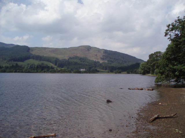
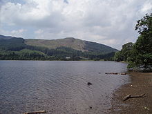
Nördlicher Teil des Sees in Richtung Frenich

Wikimedia Foundation.

Игры ⚽ Поможем решить контрольную работу

Schlagen Sie auch in anderen Wörterbüchern nach:

  • Loch Chon — Le loch Chon Administration Pays …   Wikipédia en Français

  • Loch Chon — Infobox lake lake name = Loch Chon image lake = caption lake = image bathymetry = caption bathymetry = location = Stirling, Scotland coords = Coord|56|12|50|N|4|32|50|W|region:GB type:waterbody|display=inline,title type = loch inflow = outflow =… …   Wikipedia

  • Loch Ard — Geographische Lage Loch Lomond and the Trossachs National Park, Schottland Zuflüsse Chon Water …   Deutsch Wikipedia

  • Loch-Lomond-and-the-Trossachs-Nationalpark — Loch Lomond Ansicht vom „West Highland Way“ …   Deutsch Wikipedia

  • Loch Lomond and the Trossachs National Park — Infobox protected area | name = Loch Lomond and The Trossachs National Park iucn category = II caption = Looking eastwards along Loch Katrine in the Loch Lomond and the Trossachs National Park locator x = locator y = location = Scotland, Argyll… …   Wikipedia

  • Loch Ard — Infobox lake lake name = Loch Ard image lake = Loch Ard.jpg caption lake = View west from Ledard image bathymetry = caption bathymetry = location = Stirling District, Scotland coords = coord|56.17635|N|4.49845|W|type:waterbody region:GB… …   Wikipedia

  • Liste schottischer Lochs — Loch ist das schottisch gälische Wort für einen See oder eine Meeresbucht, einen Fjord (englisch Firth). Das Wort, lɔx, «loch» mit kehligem «ch» ausgesprochen, ist verwandt mit dem altirischen Lough, rekonstruierte indogermanische Wurzel… …   Deutsch Wikipedia

  • Forth (Fluss) — Forth Forth River und Firth of Forth DatenVorlage:Infobox Fluss/GKZ fehlt …   Deutsch Wikipedia

  • Aberfoyle —    ABERFOYLE, a parish, in the county of Perth, 14 miles (W. by S.) from Doune, and 20 (W. by N.) from Stirling; containing 543 inhabitants. This place derives its name from the situation of the church, near the mouth of a rivulet called, in… …   A Topographical dictionary of Scotland

  • Liste des lochs d'Écosse — Ce qui suit est une liste des lochs d Écosse. Cette liste est loin d être exhaustive: seuls les plus connus sont répertoriés. Il a été estimé qu il y a au moins 31 460 lacs d eau douce en Écosse, et plus de 7 500 dans les Hébrides extérieures… …   Wikipédia en Français

Share the article and excerpts

Direct link
Do a right-click on the link above
and select “Copy Link”