- Ľubotice
-
Ľubotice
Wappen Karte 
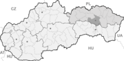

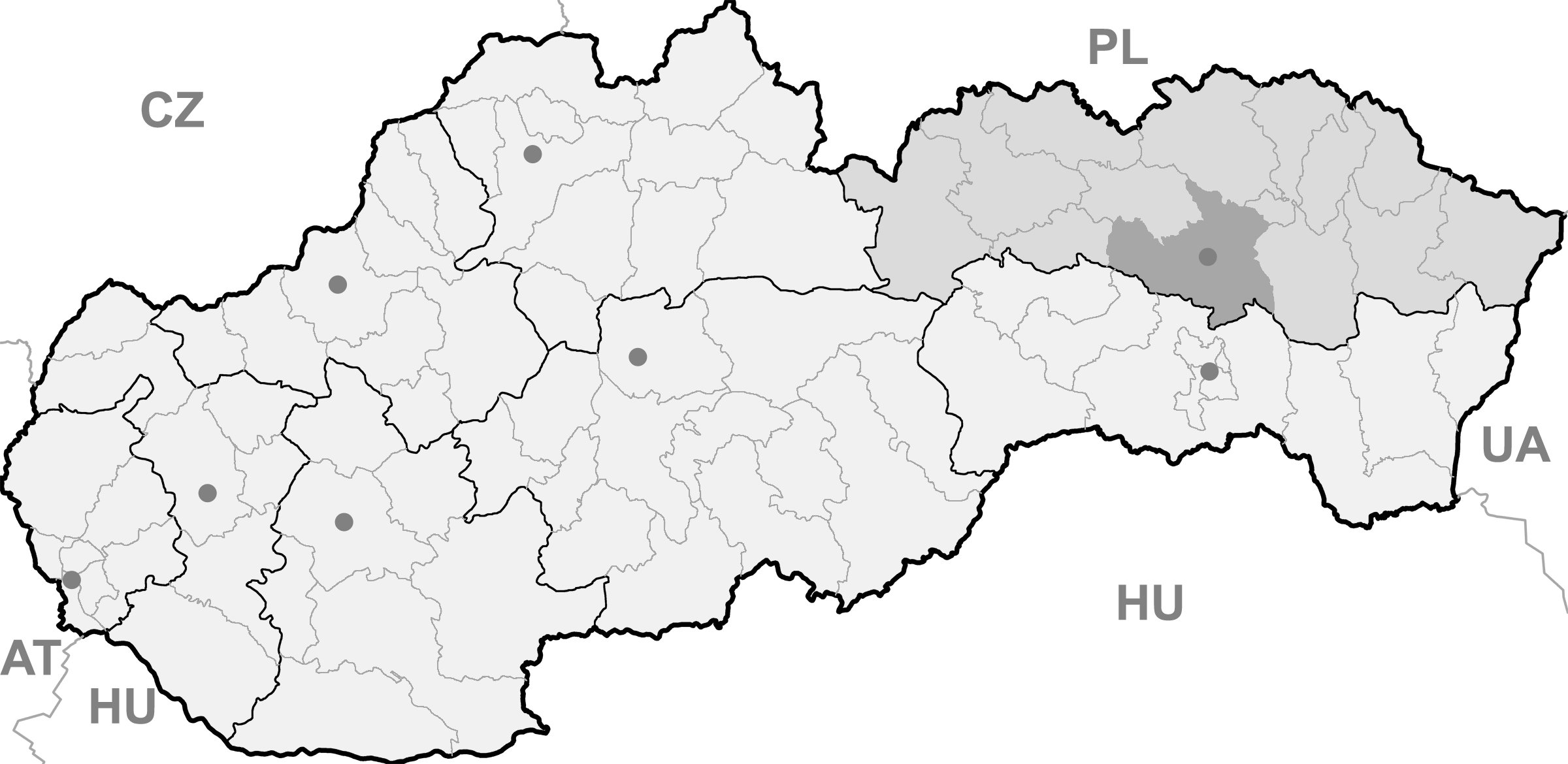
Ľubotice BasisdatenKraj: Prešovský kraj Okres: Prešov Region: Šariš Fläche: 8,324 km² Einwohner: 3.092 (31. Dez. 2010) Bevölkerungsdichte: 371,46 Einwohner je km² Höhe: 277 m n.m. Postleitzahl: 080 06 Telefonvorwahl: 0 51 Geographische Lage: 49° 1′ N, 21° 17′ O49.01666666666721.283333333333277Koordinaten: 49° 1′ 0″ N, 21° 17′ 0″ O Kfz-Kennzeichen: PO Gemeindekennziffer: 518590 StrukturGemeindeart: Gemeinde Gliederung Gemeindegebiet: 2 Gemeindeteile Verwaltung (Stand: November 2010)Bürgermeister: Štefan Krajči Adresse: Obecný úrad Ľubotice
Čsl. letcov 2
080 06 ĽuboticeWebpräsenz: www.lubotice.eu Gemeindeinformation
auf portal.gov.skStatistikinformation
auf statistics.skĽubotice (bis 1948 slowakisch „Kelemeš“; ungarisch Kellemes) ist eine Gemeinde in der Ostslowakei. Sie liegt im nördlichen Ausläufer der Košická kotlina am Fuße der Slanské vrchy und wird vom Fluss Sekčov durchflossen. Das Stadtzentrum der Stadt Prešov liegt etwa 4 km westlich entfernt.
 Kirche im Ort
Die Gemeinde wurde zum ersten Mal 1285 als Kellemes erwähnt, 1948 wurde der Name aus nationalpolitischen Gründen in einen slawisch klingenden umgeändert. Der ursprüngliche Name soll im ungarischen Wort kellemes (dt. „angenehm“) seinen Ursprung haben, auf diesen nimmt auch der heutige Name welcher sich von ľúby (= „lieblich“) ableitet. Von 1970 bis 1990 war sie ein Stadtteil der Stadt Prešov, 1990 wurde auch der heutige Gemeindeteil Šarišské Lúky, welcher ebenfalls seit 1970 nach Prešov eingemeindet war ein Teil der Gemeinde.
Zu den Sehenswürdigkeiten gehört die römisch-katholische Kirche Mariä Geburt aus dem Jahr 1806 und eine ehemalige Synagoge (1833) im Ortsteil Šarišské Lúky, die heute als ein griechisch-katholisches Tempel dient.
Durch den Ort verläuft die West-Ost-Staatsstraße I/18 und es gibt einen Bahnhof (im Ortsteil Šarišské Lúky) an der Bahnstrecke Strážske–Prešov.
Weblinks
Abranovce | Bajerov (Bayersdorf) | Bertotovce (Bertholdsdorf) | Brestov | Bretejovce | Brežany | Bzenov | Čelovce | Červenica | Demjata | Drienov | Drienovská Nová Ves | Dulova Ves | Fintice (Finzitze) | Fričovce (Friedrichsdorf) | Fulianka | Geraltov (Geralt) | Gregorovce | Haniska | Hendrichovce (Heinrichsdorf) | Hermanovce | Hrabkov | Chmeľov | Chmeľovec | Chmiňany | Chminianska Nová Ves (Neudorf) | Chminianske Jakubovany (Jakobsdorf) | Janov | Janovík | Kapušany | Kendice | Klenov (Klemberg) | Kojatice | Kokošovce (Kobersdorf) | Krížovany (Kreuzdorf) | Kvačany | Lada | Lažany | Lemešany | Lesíček | Ličartovce | Lipníky | Lipovce (Lipholz) | Lúčina | Ľubotice | Ľubovec | Malý Slivník | Malý Šariš (Kleinscharosch) | Medzany | Miklušovce | Mirkovce | Mošurov | Nemcovce | Okružná | Ondrašovce | Ovčie | Petrovany (Petersdorf) | Podhorany (Hassgut) | Podhradík | Prešov (Preschau) | Proč | Pušovce | Radatice | Rokycany | Ruská Nová Ves | Sedlice | Seniakovce | Suchá Dolina | Svinia | Šarišská Poruba | Šarišská Trstená | Šarišské Bohdanovce | Šindliar (Senglerdorf) | Široké | Štefanovce (Stephansdorf) | Teriakovce | Terňa | Trnkov | Tuhrina | Tulčík | Varhaňovce | Veľký Slivník | Veľký Šariš (Großscharosch) | Víťaz | Vyšná Šebastová | Záborské | Záhradné | Zlatá Baňa | Žehňa | Žipov | Župčany


Wikimedia Foundation.