- Tagaytay City
-
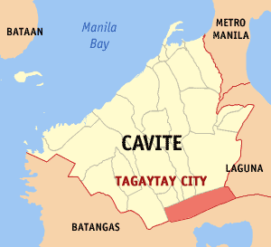
Tagaytay City Lage von Tagaytay City in der Provinz Cavite 
Basisdaten Bezirk: CALABARZON Provinz: Cavite Barangays: 34 Distrikt: 3. Distrikt von Cavite PSGC: 042119000 Einkommensklasse: 2. Einkommensklasse Haushalte: 8590 Zensus 1. Mai 2000Einwohnerzahl: 61.623 Zensus 1. August 2007Bevölkerungsdichte: 948 Einwohner je km² Fläche: 65 km² Koordinaten: 14° 6′ N, 120° 56′ O14.09999120.933333Koordinaten: 14° 6′ N, 120° 56′ O Postleitzahl: 4120 Vorwahl: +63 46 Bürgermeister: Abraham Tolentino Offizielle Webpräsenz: tagaytay.gov.ph Geographische Lage auf den Philippinen 

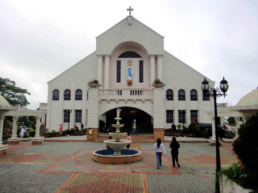
Tagaytay City 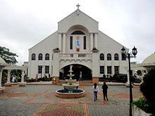 Kirche in Tagaytay
Tagaytay City (Filipino Lungsod ng Tagaytay) ist eine Stadt in der philippinischen Provinz Cavite. Die Stadt hat 61.623 Einwohner (Stand: 2007)[1], liegt auf 634 m über dem Meeresniveau und stellt somit den höchsten Punkt der Provinz dar. Tagaytay City liegt 55 km südlich von Manila.
Inhaltsverzeichnis
Barangays
Asisan, Bagong Tubig, Calabuso (Calabuso South & North), Dapdap East, Dapdap West, Francisco (San Francisco), Guinhawa North, Guinhawa South, Iruhin East, Iruhin South, Iruhin West, Kaybagal East, Kaybagal North, Kaybagal South (Pob.), Mag-Asawang Ilat, Maharlika East, Maharlika West, Maitim 2nd Central, Maitim 2nd East, Maitim 2nd West, Mendez Crossing East, Mendez Crossing West, Neogan, Patutong Malaki North, Patutong Malaki South, Sambong, San Jose, Silang Junction North, Silang Junction South, Sungay East, Sungay West, Tolentino East, Tolentino West, Zambal
Quellen
- Haushalte: 2000 Philippine Census Information
- ↑ National Statistical Coordination Board (englisch)
Söhne und Töchter der Stadt
- Abraham Tolentino (* 1964), Bürgermeister und Sportfunktionär
Weblinks
- tagaytay.gov (englisch)

Wikimedia Foundation.