- Mooki River
-
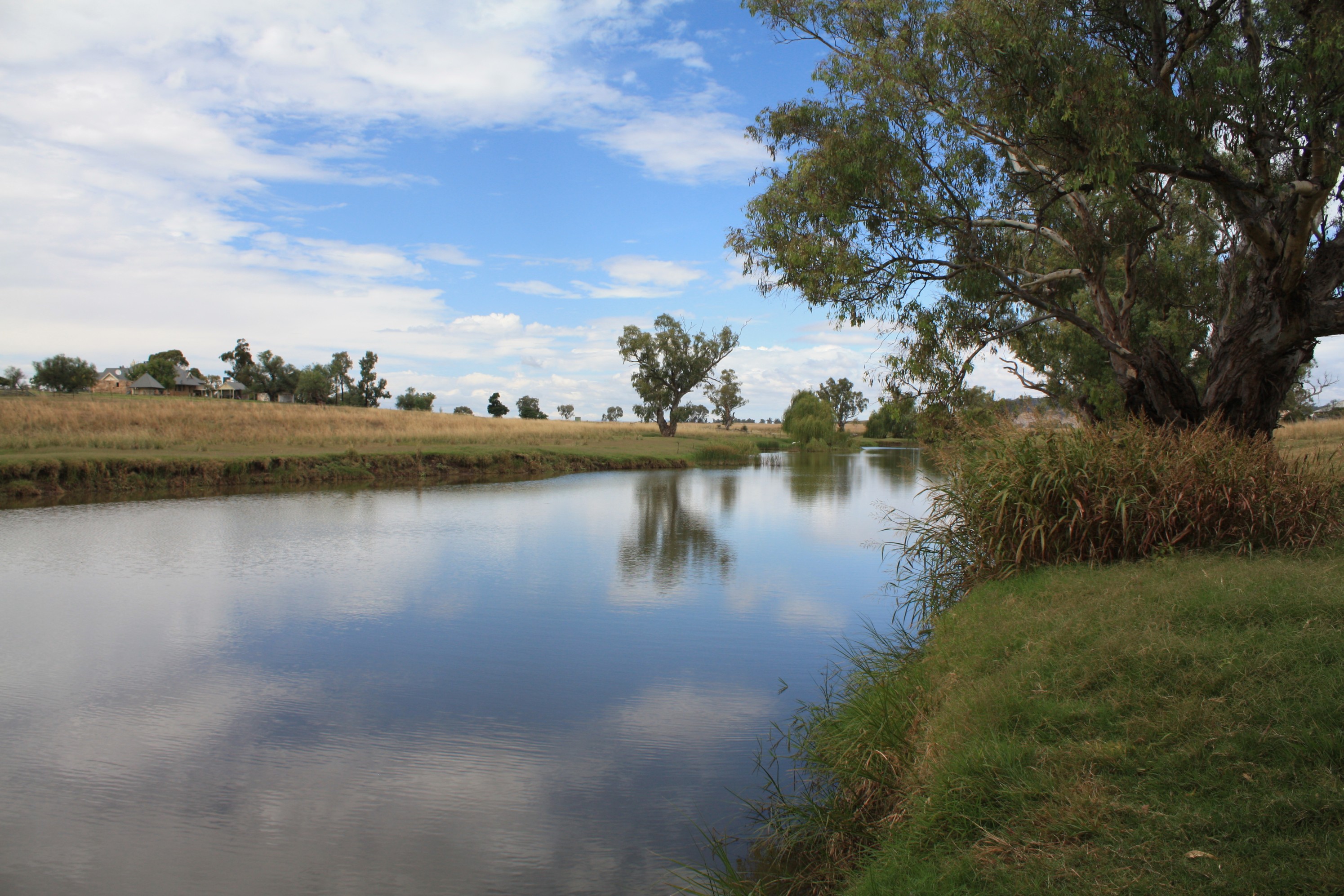
Mooki River 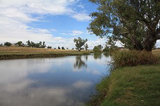
Mooki River in Caroona
Daten Lage New South Wales (Australien) Flusssystem Murray River Abfluss über Namoi River → Barwon River (New South Wales) → Darling River → Murray River → Indischer Ozean Quelle Windy Ridge (Tafelland von New England) Quellhöhe 351 m[1] Mündung Namoi River bei Gunnedah -30.966666666667150.28333333333264Koordinaten: 30° 58′ 0″ S, 150° 17′ 0″ O
30° 58′ 0″ S, 150° 17′ 0″ O-30.966666666667150.28333333333264Mündungshöhe 264 m[1] Höhenunterschied 87 m Länge 128 km[1] Rechte Nebenflüsse Phillips Creek, Warrah Creek, Quirindi Creek, Werris Creek Linke Nebenflüsse Omaleagh Creek (Black Creek) Mittelstädte Gunnedah Kleinstädte Pine Ridge, Caroona, Breeza 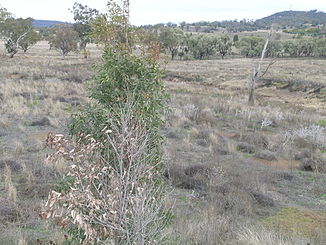
Mooki River an der McDonagh Bridge im Verlauf des Oxley Highway in Gunnedah
Der Mooki River ist ein Fluss im Norden des australischen Bundesstaates New South Wales.
Er ist der Hauptfluss der Liverpool Plains. Seine Quelle liegt an den Nordhängen der Liverpool Range und der Coolah Tops am Zusammenfluss von Omaleagh Creek und Phillips Creek. Von dort fließt er nordwärts.
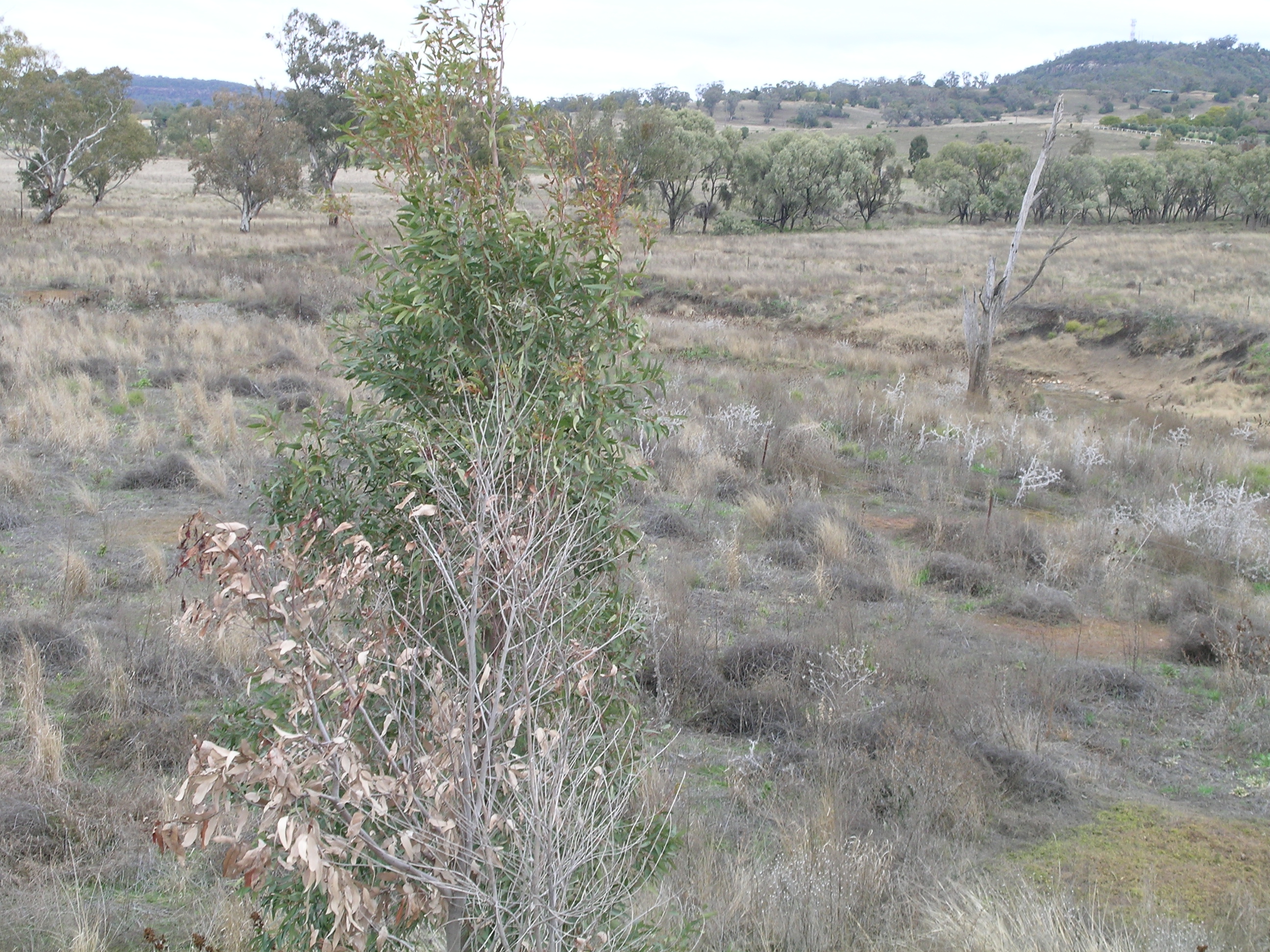
Am Fluss gibt es keine größeren Städte, aber in seinem Einzugsgebiet liegen die Städte Quirindi und Werris Creek. Zum größten Teil umgibt gutes Bauernland den Fluss. Nur ein kleiner Teil der ursprünglichen Vegetation ist noch im Flusstal erhalten, aber Fluss-Eukalyptus und andere Bäume wachsen am Flussufer. Der Kamilaroi Highway und die nordwestliche Eisenbahnlinie überqueren den Mooki River bei Breeza.
Der Mooki River mündet direkt nördlich von Gunnedah in den Namoi River[2].
Geschichte
Die früheste Expedition von Europäern in diesem Gebiet war die von John Oxley und seiner Gruppe im August 1818. Der Name Mooki stammt von den Aborigines, die den Unterlauf des Flusses entlangzogen.
Im November 2000 überschwemmte der Fluss Gunnedah und das umliegende Gebiet.
Der Mooki River wird in The Old Timer's Steeplechase vom bekannten Dichter A. B. "Banjo" Paterson erwähnt
Quelle
Karte des Einzugsbereiches des Mooki River. NaturalSources.nsw.com
Einzelnachweise
- ↑ a b c Map of Mooki River, NSW. Bonzle.com
- ↑ Central and North West. Map 5. NRMA 06/07
Kategorien:- Flusssystem Darling River
- Fluss in New South Wales
- Fluss in Australien und Ozeanien
Wikimedia Foundation.