- Papradno
-
Papradno
Wappen Karte 
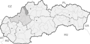

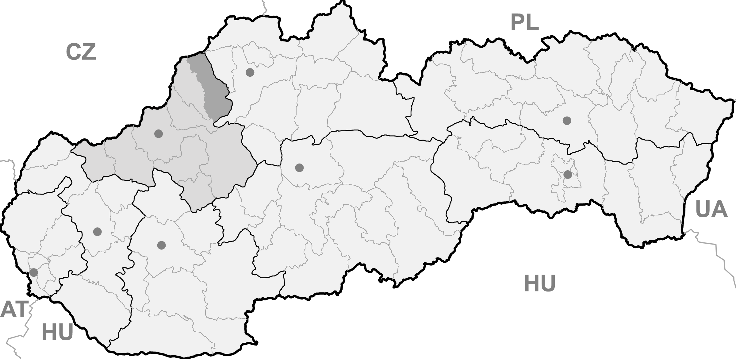
Papradno BasisdatenKraj: Trenčiansky kraj Okres: Považská Bystrica Region: Severné Považie Fläche: 55,973 km² Einwohner: 2.557 (31. Dez. 2010) Bevölkerungsdichte: 45,68 Einwohner je km² Höhe: 398 m n.m. Postleitzahl: 018 13 Telefonvorwahl: 0 42 Geographische Lage: 49° 14′ N, 18° 25′ O49.22972222222218.410277777778398Koordinaten: 49° 13′ 47″ N, 18° 24′ 37″ O Kfz-Kennzeichen: PB Gemeindekennziffer: 513466 StrukturGemeindeart: Gemeinde Gliederung Gemeindegebiet: 2 Gemeindeteile Verwaltung (Stand: Mai 2011)Bürgermeister: Roman Španihel Adresse: Obecný úrad Papradno
315
018 13 PapradnoWebpräsenz: www.papradno.sk Gemeindeinformation
auf portal.gov.skStatistikinformation
auf statistics.skPapradno (bis 1927 slowakisch „Papradné“ oder „Papradnô“; ungarisch Kosárfalva - bis 1907 Papradnó) ist ein Ort und eine Gemeinde im Okres Považská Bystrica des Trenčiansky kraj im Nordwesten der Slowakei, mit 2557 Einwohnern (31. Dezember 2010).
Geographie
Die Gemeinde liegt im Gebirge Javorníky, im Tal des Baches Papradnianka, der vom Norden nach Südosten fließt, bevor er in die Waag mündet. Papradno ist 16 Kilometer von Považská Bystrica entfernt. Das Gemeindegebiet ist zu 80 Prozent bewaldet (mehrheitlich Nadelbäume).
Neben dem Hauptort gehört zur Gemeinde auch der Gemeindeteil Podjavorník (nach dem Berg Veľký Javorník benannt) sowie weitere inoffizielle Siedlungen und Weiler.
Geschichte
Die Besiedlung der heutigen Gemeinde begann wohl im 14. Jahrhundert, auf dem damaligen Gebiet von Jasenica. Diese walachische Kolonisierung dauerte bis zum 16. Jahrhundert, wodurch auch verschiedene Weiler im Gebirge entstanden. Der Ort wird zum ersten Mal 1525 als Spapradna schriftlich erwähnt und war dem Herrschaftsgut von Bitsch tributpflichtig.
Bodiná | Brvnište | Čelkova Lehota | Dolná Mariková | Dolný Lieskov | Domaniža | Ďurďové | Hatné | Horná Mariková | Horný Lieskov | Jasenica | Klieština | Kostolec | Malé Lednice | Papradno | Plevník-Drienové | Počarová | Podskalie | Považská Bystrica (Waagbistritz) | Prečín | Pružina | Sádočné | Slopná | Stupné | Sverepec | Udiča | Vrchteplá | Záskalie

Wikimedia Foundation.