- Saare (Piirissaar)
-
58.37388888888927.528055555556Koordinaten: 58° 22′ N, 27° 32′ O

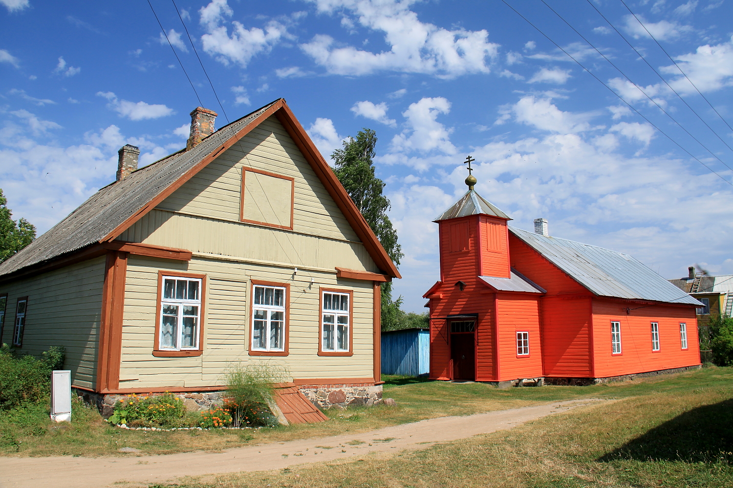
Saare Saare (russisch Желачек Schelatschek) ist ein Dorf (estnisch küla) auf der Insel Piirissaar im Peipussee im estnischen Kreis Tartu. Saare gehört zur Landgemeinde Piirissaare.
In Saare befindet sich altorthodoxe Kirche der Altgläubigen. Die Bevölkerung von Saare ist größtenteils russischsprachig.
-

altorthodoxe Kirche
-

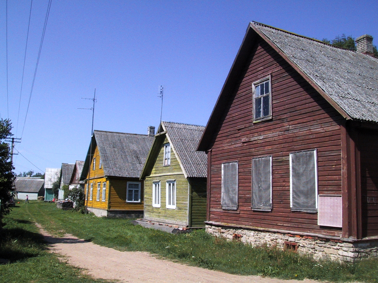
Dorf Saare
Weblinks
-

Wikimedia Foundation.