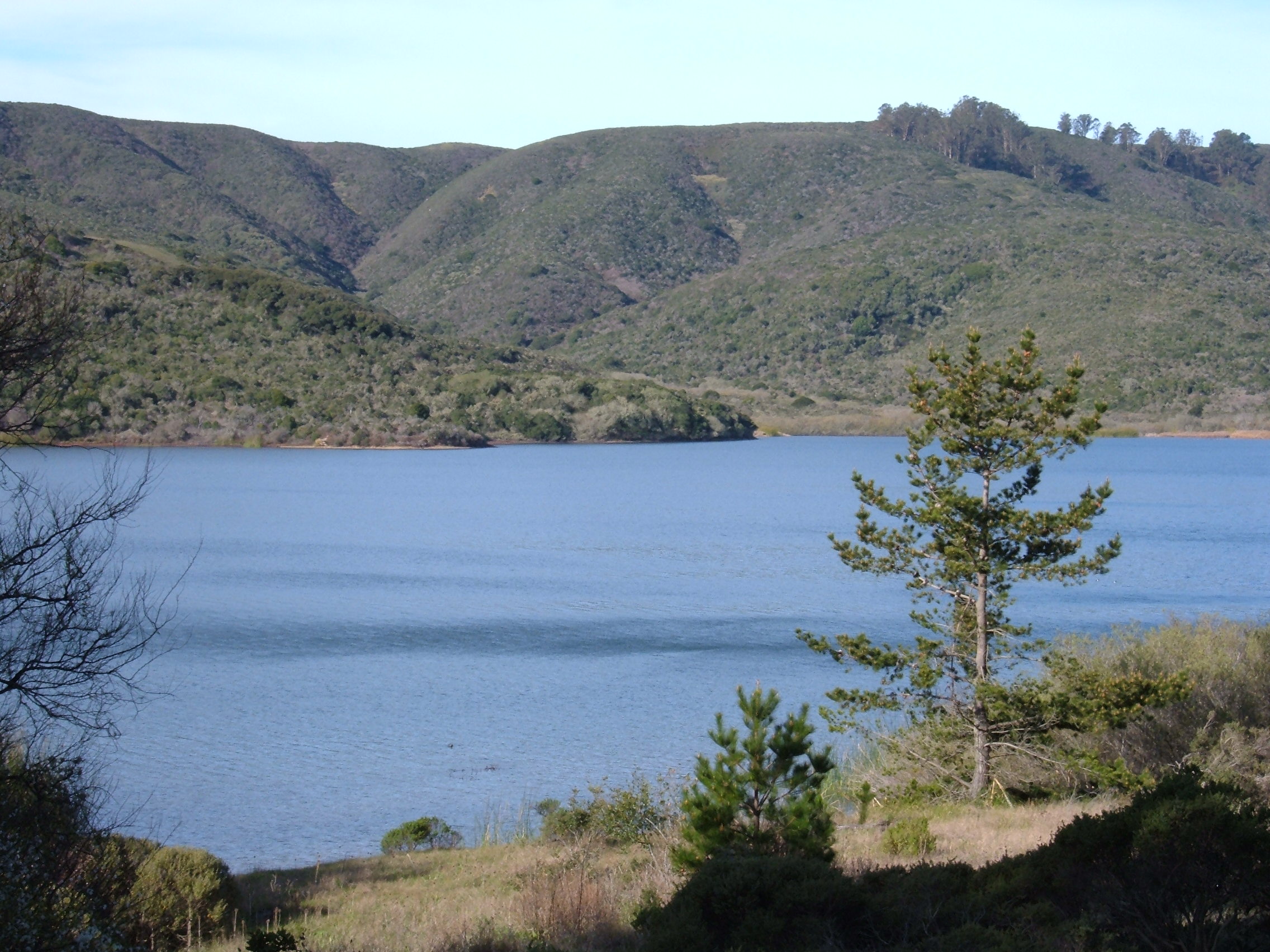
San Andreas Lake

San Andreas Lake
San Andreas Lake
San Andreas Lake from San Andreas Trail 1.JPG
Geographische Lage San Mateo County, Kalifornien, USA
Größere Städte in der Nähe Millbrae, San Bruno
Daten
Koordinaten 37° 35′ 36″ N, 122° 25′ 27″ W37.5932-122.4241138Koordinaten: 37° 35′ 36″ N, 122° 25′ 27″ W
San Andreas Lake (Kalifornien)
San Andreas Lake
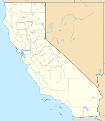
Höhe über Meeresspiegel 138 m
Fläche 2,2 km²f5
Länge 4,8 kmf6
Volumen 23.469.000 m³f8
Einzugsgebiet 11 km²f4

Der San Andreas Lake (Spanisch Laguna de San Andreas) ist ein künstlicher See auf 138 Meter über dem Meeresspiegel in der Senkung der San-Andreas-Verwerfung, in der Nähe der Städte Millbrae und San Bruno im San Mateo County, Kalifornien, USA. Er wird vom San Andreas Creek durchflossen und vom abfließende Wasser eines Einzugsgebietes von elf Quadratkilometern Größe gespeist und hält ein Wasservolumen von 23.469.000 Kubikmetern. Er hat eine Wasserfläche von 220 Hektar, die auf eine größte Länge von 4,8 Kilometern gestreckt ist.

Gaspar de Portolà kam hier 4. November 1769 kurz vor seiner Entdeckung der Bucht von San Francisco vorbei.[1] Das Tal des San Andreas Creek wurde 1774 von Francisco Palóu als „Cañada de San Andrés“ benannt.[2] Professor Andrew Cowper Lawson von der University of California, Berkeley, der die San-Andreas-Verwerfung in der Umgebung des Sees entdeckte, benannte 1895 die Verwerfung nach dem See.[3] Das ursprüngliche kleinere natürliche Wasserbassin wurde 1875 durch die Errichtung eines Erddammes vergrößert und dient heute als Wasserreservoir und darf daher auch nicht als Badegewässer genutzt werden. Der Damm überstand das San-Francisco-Erdbeben von 1906 unbeschadet.

Quellen

  1. San Mateo. In: State of California's web site. California Office of Historic Preservation, abgerufen am 11. April 2011 (englisch).
  2. David L. Durham: California's geographic names. A gazetteer of historic and modern names of the state. Word Dancer Press, Clovis CA 1998, ISBN 1-88499-514-4, S. 694 (http://books.google.com/books?id=Yfa0hmE7yocC, abgerufen am 13. Juli 2010).
  3. Simon Winchester: A Crack in the Edge of the World. America and the great California earthquake of 1906. HarperCollins Publishing, New York NY u. a. 2005, ISBN 0-06-057200-0, S. 164.

Wikimedia Foundation.

Игры ⚽ Поможем написать реферат

Schlagen Sie auch in anderen Wörterbüchern nach:

  • San Andreas Lake — Infobox lake lake name = San Andreas Lake image lake = SanAndreas.jpg caption lake = image bathymetry = caption bathymetry = location = San Mateo County, California coords = coord|37|34|50|N|122|24|36|W|type:waterbody region:US CA… …   Wikipedia

  • San Andreas — is an archaic variation of the Spanish language San Andrés (Saint Andrew, the apostle). It may refer to:*San Andreas Fault, a geologic fault that runs through California, USA *San Andreas Lake, a lake near San Francisco, California for which the… …   Wikipedia

  • San-Andreas-Graben — San Andreas Verwerfung bei …   Deutsch Wikipedia

  • San-Andreas-Spalte — San Andreas Verwerfung bei …   Deutsch Wikipedia

  • San-Andreas-Verwerfung — bei 35° 7′ 0″ N, 119° 39′& …   Deutsch Wikipedia

  • San Andreas fault — /san an dray euhs/, Geol. an active strike slip fault in W United States, extending from San Francisco to S California and forming the on land portion of the western margin of the North American Plate. [after San Andreas Lake, located in the rift …   Universalium

  • San Andreas fault — San′ An•dre′as fault′ [[t]ˈsæn ænˈdreɪ əs[/t]] n. gel an active geological fault in the western U.S., extending from San Francisco to S California • Etymology: after San Andreas Lake, located in the rift, in San Mateo County …   From formal English to slang

  • San Andreas — Der Name San Andreas bezeichnet die San Andreas Verwerfung zwischen Pazifischer und Amerikanischer Platte (ein Teil davon ist der San Andreas Graben) den San Andreas Lake, welcher der Verwerfung den Namen gab den Untertitel und den fiktiven… …   Deutsch Wikipedia

  • San Andreas Fault — The San Andreas Fault is a geologic transform fault that runs a length of roughly 800 miles (1,300 km) through California in the United States. The fault s motion is right lateral strike slip (horizontal motion). It forms the tectonic boundary… …   Wikipedia

  • San Bruno — San Bruno …   Deutsch Wikipedia

Share the article and excerpts

Direct link
Do a right-click on the link above
and select “Copy Link”